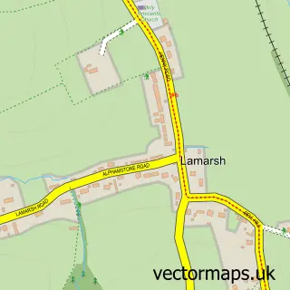
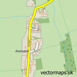
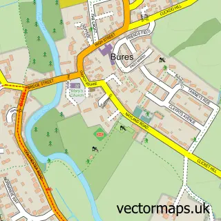
This Little Cornard street map is a detailed vector street map covering a 750m x 750m area. Select a larger area to create and download your own vector street map of Little Cornard.
The 750-metre map sample for Little Cornard covers 56 mapped buildings and approximately 8.9 km of road detail, of which 2 named roads are named. The immediate area includes 7 MOT stations within 2 miles. To create a larger or custom map of Little Cornard, the map builder lets you define your own coverage area and download editable SVG, PDF and PNG files.
Create a larger editable map of Little Cornard
Choose any area you need and generate a high-quality vector map instantly. Perfect for print, planning, design, business and personal use.

This Little Cornard street map in Suffolk is available as downloadable SVG, PDF and PNG map files, or as a printed map for planning, business, display, education, local information and design work. You can also create a larger custom map area using the map selector.
What this Little Cornard map sample shows
Little Cornard lies within Great Cornard Cp parish, part of Great Cornard ward in the Babergh District local authority area. The postcode geography for this area includes the CO postcode area, the CO10 postcode district and the CO10 0 postcode sector. Residents fall under the Nhs Suffolk And North East Essex Integrated Care Board for NHS services.
Local features near Little Cornard
Within 2 milesAmenities and services in and around Little Cornard.
Administrative and postcode information for Little Cornard
Little Cornard lies within Great Cornard Cp parish, part of Great Cornard ward in the Babergh District local authority area. The postcode geography for this area includes the CO postcode area, the CO10 postcode district and the CO10 0 postcode sector. Residents fall under the Nhs Suffolk And North East Essex Integrated Care Board for NHS services.
Nearby street map samples around Little Cornard
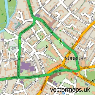

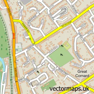
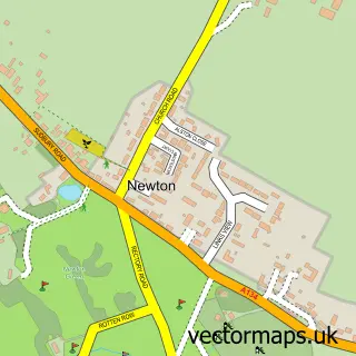
More street maps in Suffolk
750 metre map area coverage
Boundary, postcode and point of interest information for the 750m x 750m rectangle centred on this sample map.
Boundaries containing map centre
Constituency: South Suffolk Co Const
County: Suffolk County
District: Babergh District
Icb: NHS Essex ICB
Parish: Great Cornard CP
Police Force: suffolk
Postcode District: CO10
Postcode Sector: CO10 0
Ward: Great Cornard Ward
Nearby boundaries intersecting sample
Parish: Little Cornard CP
Ward: Assington Ward
Postcode coverage
POI category counts
Anglican Church: 1
Business: 1
Dog Park: 1
Equestrian Facility: 1
Freight And Cargo Service: 1
Hair Salon: 1
Sample points of interest
- All Saints Little Cornard
- Clarke-hills Accountancy
- Prospect Meadow
- Rancho Pavo Real Paso Finos
- Jeff Bowen Awnings
- Serenity Natural Health and Beauty
Create a larger editable map of Little Cornard
This sample shows only a 750 metre area. To create a larger map of Little Cornard, use our map builder to choose your own coverage area, add titles and download editable SVG, PDF and PNG files.
Create a custom map of Little Cornard