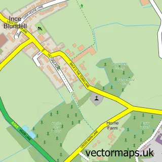
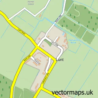
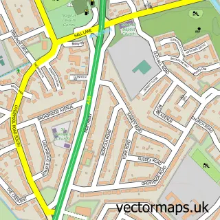
This Little Crosby street map is a detailed vector street map covering a 750m x 750m area. Select a larger area to create and download your own vector street map of Little Crosby.
The 750-metre map sample for Little Crosby covers 83 mapped buildings and approximately 6.6 km of road detail, of which 6 named roads are named. The immediate area includes 7 GP surgeries within 2 miles and 5 MOT stations within 2 miles. To create a larger or custom map of Little Crosby, the map builder lets you define your own coverage area and download editable SVG, PDF and PNG files.
Create a larger editable map of Little Crosby
Choose any area you need and generate a high-quality vector map instantly. Perfect for print, planning, design, business and personal use.

This Little Crosby street map in Merseyside is available as downloadable SVG, PDF and PNG map files, or as a printed map for planning, business, display, education, local information and design work. You can also create a larger custom map area using the map selector.
What this Little Crosby map sample shows
Little Crosby lies within Sefton District (B) parish, part of Manor ward in the Sefton District (B) local authority area. The postcode geography for this area includes the L postcode area, the L23 postcode district and the L23 4 postcode sector. Residents fall under the Nhs Cheshire And Merseyside Integrated Care Board for NHS services.
Local features near Little Crosby
Within 2 milesAmenities and services in and around Little Crosby.
Administrative and postcode information for Little Crosby
The local authority covering Little Crosby is Sefton District (B), within the county of Merseyside. The settlement lies within Manor ward and Sefton District (B) civil parish. The L23 postcode district and L23 4 postcode sector serve the immediate area. NHS provision in the area is delivered through Liverpool University Hospitals Nhs Foundation Trust.
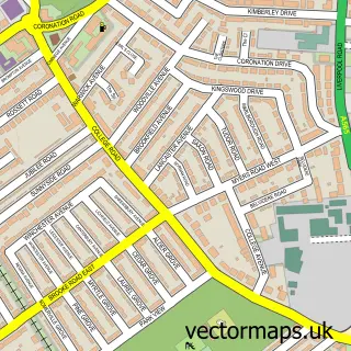
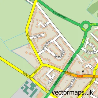
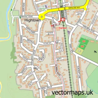
Nearby street map samples around Little Crosby

More street maps in Merseyside
750 metre map area coverage
Boundary, postcode and point of interest information for the 750m x 750m rectangle centred on this sample map.
Boundaries containing map centre
Constituency: Sefton Central Co Const
District: Sefton District (B)
Icb: NHS Lancashire and South Cumbria ICB
Police Force: merseyside
Postcode District: L23
Postcode Sector: L23 4
Ward: Manor Ward
Nearby boundaries intersecting sample
No additional intersecting boundaries found.
Postcode coverage
POI category counts
Furniture Store: 2
Arts And Crafts: 1
Automotive: 1
Bakery: 1
Beauty Salon: 1
Brewery: 1
Building Supply Store: 1
Business Manufacturing And Supply: 1
Caterer: 1
Church Cathedral: 1
Sample points of interest
- Klaras Crafts
- Colour Wizard
- Bakery Barn
- Beauty Barn Clinic & Spa
- Rock The Boat Brewery
- Little Crosby Arborists
- Lumberjack Logs
- Turnbull's catering
- St Mary's Church
- St Marys RC Primary School
- The Upholsterer
- Corinthian Furniture
Create a larger editable map of Little Crosby
This sample shows only a 750 metre area. To create a larger map of Little Crosby, use our map builder to choose your own coverage area, add titles and download editable SVG, PDF and PNG files.
Create a custom map of Little Crosby