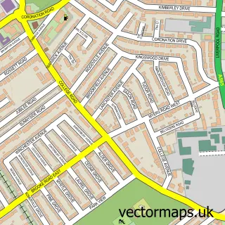
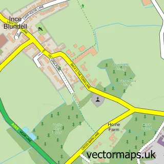
This Thornton street map is a detailed vector street map covering a 750m x 750m area. Select a larger area to create and download your own vector street map of Thornton.
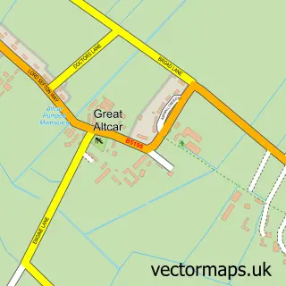
The 750-metre map sample for Thornton covers 291 mapped buildings and approximately 13.1 km of road detail, of which 23 named roads are named. The immediate area includes 1 school, 8 GP surgeries within 2 miles, 4 pubs and 1 MOT station, with 7 within 2 miles. The wider area around Thornton features 1 tourism point of interest and 4 food and drink venues. To create a larger or custom map of Thornton, the map builder lets you define your own coverage area and download editable SVG, PDF and PNG files.
Create a larger editable map of Thornton
Choose any area you need and generate a high-quality vector map instantly. Perfect for print, planning, design, business and personal use.

This Thornton street map in Merseyside is available as downloadable SVG, PDF and PNG map files, or as a printed map for planning, business, display, education, local information and design work. You can also create a larger custom map area using the map selector.
What this Thornton map sample shows
Thornton lies within Thornton Cp parish, part of Manor ward in the Sefton District (B) local authority area. The postcode geography for this area includes the L postcode area, the L23 postcode district and the L23 1 postcode sector. Residents fall under the Nhs Cheshire And Merseyside Integrated Care Board for NHS services.
Local features near Thornton
Within 2 milesAmenities and services in and around Thornton.
Administrative and postcode information for Thornton
Thornton lies within Thornton Cp parish, part of Manor ward in the Sefton District (B) local authority area. The postcode geography for this area includes the L postcode area, the L23 postcode district and the L23 1 postcode sector. Residents fall under the Nhs Cheshire And Merseyside Integrated Care Board for NHS services.
Nearby street map samples around Thornton

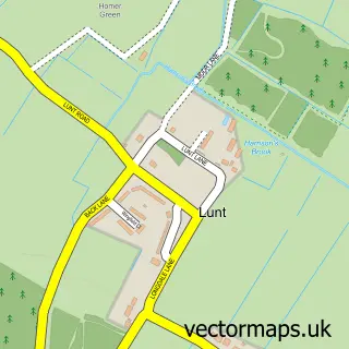
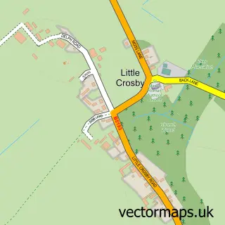
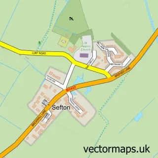
More street maps in Merseyside
750 metre map area coverage
Boundary, postcode and point of interest information for the 750m x 750m rectangle centred on this sample map.
Boundaries containing map centre
Constituency: Sefton Central Co Const
District: Sefton District (B)
Icb: NHS Lancashire and South Cumbria ICB
Parish: Thornton CP
Police Force: merseyside
Postcode District: L23
Postcode Sector: L23 4
Ward: Manor Ward
Nearby boundaries intersecting sample
Postcode District: L29
Postcode Sector: L23 1, L23 2, L29 5
Postcode coverage
POI category counts
Pub: 4
Building Supply Store: 3
Beauty Salon: 2
Architectural Designer: 1
Attractions And Activities: 1
Auto Electrical Repair: 1
Bar: 1
Beach: 1
Betting Center: 1
Carpet Cleaning: 1
Sample points of interest
- Jakesville Studios Ltd
- Little Crosby
- A B C Electrical
- Hungry Horse
- Southport Beach
- Louise Beautique
- Minchellas Hair Studio
- William Hill
- Beautiful Lawns
- Crosby Driveway & Gutter Cleaning
- The Carpet & Oven Cleaning Company
- Competent Cleaners / Scotchcare Services Liverpool
Create a larger editable map of Thornton
This sample shows only a 750 metre area. To create a larger map of Thornton, use our map builder to choose your own coverage area, add titles and download editable SVG, PDF and PNG files.
Create a custom map of Thornton