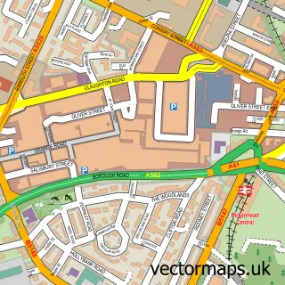
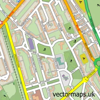
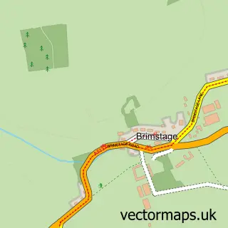
This Liverpool street map is a detailed vector street map covering a 750m x 750m area. Select a larger area to create and download your own vector street map of Liverpool.
The 750-metre map sample for Liverpool covers 121 mapped buildings and approximately 30.3 km of road detail, of which 87 named roads are named. The immediate area includes 1 school, 2 railway stations, 26 GP surgeries within 2 miles and 57 pubs among other local services. The wider area around Liverpool features 52 tourism points of interest, 163 food and drink venues and 60 hotels. To create a larger or custom map of Liverpool, the map builder lets you define your own coverage area and download editable SVG, PDF and PNG files.
Create a larger editable map of Liverpool
Choose any area you need and generate a high-quality vector map instantly. Perfect for print, planning, design, business and personal use.

This Liverpool street map in Merseyside is available as downloadable SVG, PDF and PNG map files, or as a printed map for planning, business, display, education, local information and design work. You can also create a larger custom map area using the map selector.
What this Liverpool map sample shows
Liverpool lies within Wirral District (B) parish, part of Seacombe ward in the Wirral District (B) local authority area. The postcode geography for this area includes the CH postcode area, the CH44 postcode district and the CH44 7 postcode sector. Residents fall under the Nhs Cheshire And Merseyside Integrated Care Board for NHS services.
Local features near Liverpool
Within 2 milesAmenities and services in and around Liverpool.
Administrative and postcode information for Liverpool
The local authority covering Liverpool is Wirral District (B), within the county of Merseyside. The settlement lies within Seacombe ward and Wirral District (B) civil parish. The CH44 postcode district and CH44 7 postcode sector serve the immediate area. NHS provision in the area is delivered through Wirral University Teaching Hospital Nhs Foundation Trust.
Nearby street map samples around Liverpool
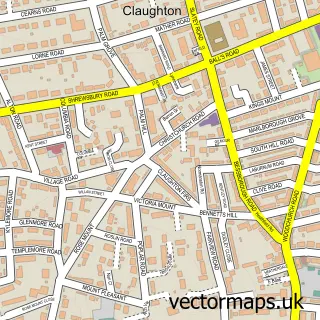
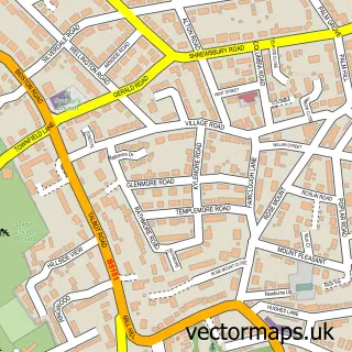
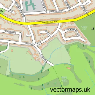
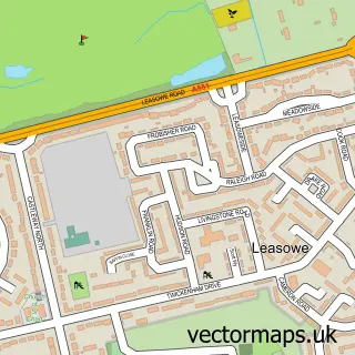
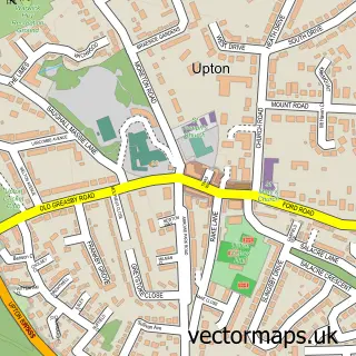
More street maps in Merseyside
750 metre map area coverage
Boundary, postcode and point of interest information for the 750m x 750m rectangle centred on this sample map.
Boundaries containing map centre
Constituency: Liverpool Riverside Boro Const
District: Liverpool District (B)
Icb: NHS Cheshire and Merseyside ICB
Police Force: merseyside
Postcode District: L2
Postcode Sector: L2 3
Ward: City Centre North Ward
Nearby boundaries intersecting sample
Postcode District: L1, L3
Postcode Sector: L1 3, L1 6, L1 8, L2 0, L2 1, L2 2
Ward: Waterfront South Ward
Postcode coverage
POI category counts
Hotel: 60
Professional Services: 60
Employment Agencies: 59
Pub: 57
Coffee Shop: 45
Bar: 44
Real Estate Agent: 44
Financial Service: 42
Restaurant: 37
Legal Services: 35
Sample points of interest
- Caro Student Living - The Bridewell
- Downing Students
- Liverpool FC Head Office
- Xenia Students
- BDO LLP
- BDO LLP
- Crunch Accounting
- Deloitte LLP
- Duncan Sheard Glass Chartered Accountants
- Fischer Crowne
- GMC Accountants
- Grant Thornton
Create a larger editable map of Liverpool
This sample shows only a 750 metre area. To create a larger map of Liverpool, use our map builder to choose your own coverage area, add titles and download editable SVG, PDF and PNG files.
Create a custom map of Liverpool