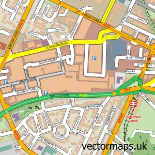
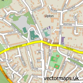
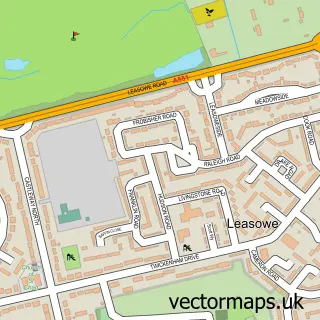
This Oxton Village street map is a detailed vector street map covering a 750m x 750m area. Select a larger area to create and download your own vector street map of Oxton Village.
The 750-metre map sample for Oxton Village covers 529 mapped buildings and approximately 24.9 km of road detail, of which 68 named roads are named. The immediate area includes 2 schools, 1 GP surgery, with 17 within 2 miles, 5 pubs and 36 MOT stations within 2 miles. The wider area around Oxton Village features 1 tourism point of interest and 13 food and drink venues. To create a larger or custom map of Oxton Village, the map builder lets you define your own coverage area and download editable SVG, PDF and PNG files.
Create a larger editable map of Oxton Village
Choose any area you need and generate a high-quality vector map instantly. Perfect for print, planning, design, business and personal use.

This Oxton Village street map in Merseyside is available as downloadable SVG, PDF and PNG map files, or as a printed map for planning, business, display, education, local information and design work. You can also create a larger custom map area using the map selector.
What this Oxton Village map sample shows
Oxton Village lies within Wirral District (B) parish, part of Prenton ward in the Wirral District (B) local authority area. The postcode geography for this area includes the CH postcode area, the CH42 postcode district and the CH42 8 postcode sector. Residents fall under the Nhs Cheshire And Merseyside Integrated Care Board for NHS services.
Local features near Oxton Village
Within 2 milesAmenities and services in and around Oxton Village.
Administrative and postcode information for Oxton Village
Oxton Village lies within Wirral District (B) parish, part of Prenton ward in the Wirral District (B) local authority area. The postcode geography for this area includes the CH postcode area, the CH42 postcode district and the CH42 8 postcode sector. Residents fall under the Nhs Cheshire And Merseyside Integrated Care Board for NHS services.
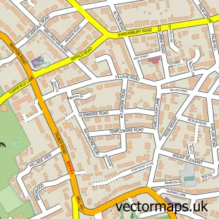
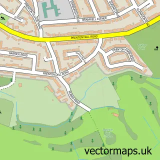
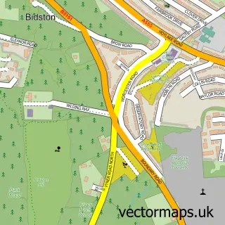
Nearby street map samples around Oxton Village

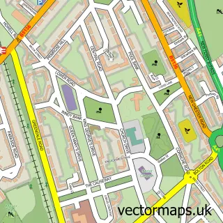
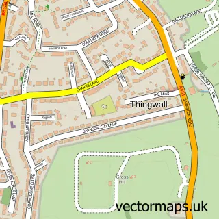
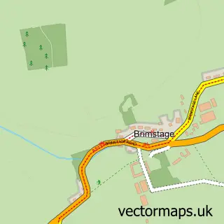
More street maps in Merseyside
750 metre map area coverage
Boundary, postcode and point of interest information for the 750m x 750m rectangle centred on this sample map.
Boundaries containing map centre
Constituency: Birkenhead Boro Const
District: Wirral District (B)
Icb: NHS Cheshire and Merseyside ICB
Police Force: merseyside
Postcode District: CH43
Postcode Sector: CH43 5
Ward: Oxton Ward
Nearby boundaries intersecting sample
Postcode District: CH42
Postcode Sector: CH42 9, CH43 1, CH43 2, CH43 4, CH43 6
Ward: Birkenhead and Tranmere Ward
Postcode coverage
POI category counts
Professional Services: 7
Building Supply Store: 6
Automotive Repair: 5
Beauty Salon: 5
Pub: 5
Restaurant: 5
Atms: 4
Hair Salon: 4
Property Management: 4
Bar: 3
Sample points of interest
- Sturgess Atkin
- Wirral Bookkeeping
- DTMS Print
- St. John Ambulance
- Williamson Art Gallery & Museum
- Bisque-it
- Best One Local
- PayPoint
- PayPoint
- Payzone
- The Secret Gardens
- J Cooke Ltd.
Create a larger editable map of Oxton Village
This sample shows only a 750 metre area. To create a larger map of Oxton Village, use our map builder to choose your own coverage area, add titles and download editable SVG, PDF and PNG files.
Create a custom map of Oxton Village