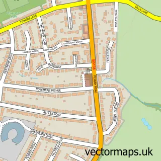
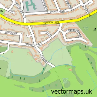
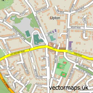
This Thingwall street map is a detailed vector street map covering a 750m x 750m area. Select a larger area to create and download your own vector street map of Thingwall.
The 750-metre map sample for Thingwall covers 399 mapped buildings and approximately 14.6 km of road detail, of which 26 named roads are named. The immediate area includes 6 GP surgeries within 2 miles, 2 pubs and 11 MOT stations within 2 miles. The wider area around Thingwall features 3 food and drink venues. To create a larger or custom map of Thingwall, the map builder lets you define your own coverage area and download editable SVG, PDF and PNG files.
Create a larger editable map of Thingwall
Choose any area you need and generate a high-quality vector map instantly. Perfect for print, planning, design, business and personal use.

This Thingwall street map in Merseyside is available as downloadable SVG, PDF and PNG map files, or as a printed map for planning, business, display, education, local information and design work. You can also create a larger custom map area using the map selector.
What this Thingwall map sample shows
Thingwall lies within Wirral District (B) parish, part of Pensby And Thingwall ward in the Wirral District (B) local authority area. The postcode geography for this area includes the CH postcode area, the CH61 postcode district and the CH61 1 postcode sector. Residents fall under the Nhs Cheshire And Merseyside Integrated Care Board for NHS services.
Local features near Thingwall
Within 2 milesAmenities and services in and around Thingwall.
Administrative and postcode information for Thingwall
The local authority covering Thingwall is Wirral District (B), within the county of Merseyside. The settlement lies within Pensby And Thingwall ward and Wirral District (B) civil parish. The CH61 postcode district and CH61 1 postcode sector serve the immediate area. NHS provision in the area is delivered through Wirral University Teaching Hospital Nhs Foundation Trust.
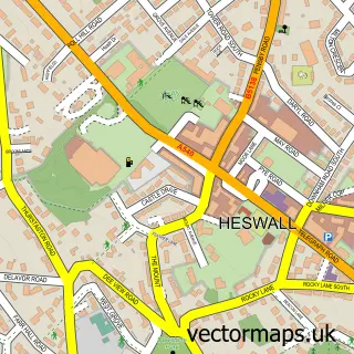
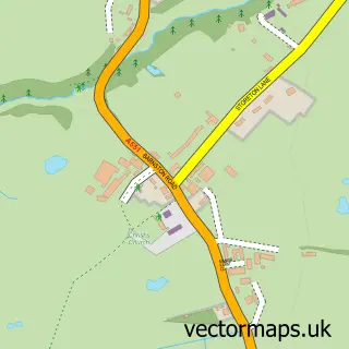
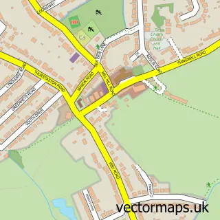
Nearby street map samples around Thingwall

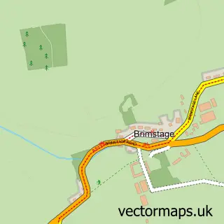
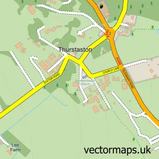
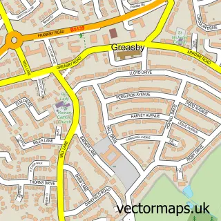
More street maps in Merseyside
750 metre map area coverage
Boundary, postcode and point of interest information for the 750m x 750m rectangle centred on this sample map.
Boundaries containing map centre
Constituency: Wirral West Co Const
District: Wirral District (B)
Icb: NHS Cheshire and Merseyside ICB
Police Force: merseyside
Postcode District: CH61
Postcode Sector: CH61 7
Ward: Pensby and Thingwall Ward
Nearby boundaries intersecting sample
Postcode Sector: CH61 1, CH61 9
Postcode coverage
POI category counts
Pub: 2
Appliance Store: 1
Church Cathedral: 1
Convenience Store: 1
Dance School: 1
Driving School: 1
Education: 1
Gardener: 1
Gym: 1
Restaurant: 1
Sample points of interest
- A Johnson Domestics
- Barnston Parish Church
- Morrisons Daily
- Susan Mansley School of Dance
- OOOSH! Your Local Driving School | Driving Lessons | Barry Driving Instructor
- Es-net
- Garden Crafts
- Thingwall Recreation Centre
- Basset Hound
- Basset Hound
- Cherry Pie Inn
- Groveham Safety Services
Create a larger editable map of Thingwall
This sample shows only a 750 metre area. To create a larger map of Thingwall, use our map builder to choose your own coverage area, add titles and download editable SVG, PDF and PNG files.
Create a custom map of Thingwall