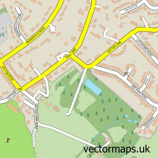
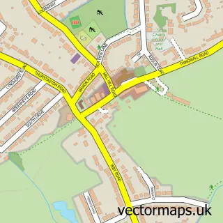
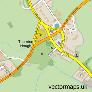
This Heswall street map is a detailed vector street map covering a 750m x 750m area. Select a larger area to create and download your own vector street map of Heswall.
The 750-metre map sample for Heswall covers 467 mapped buildings and approximately 20.6 km of road detail, of which 41 named roads are named. The immediate area includes 1 school, 1 GP surgery, 7 pubs and 2 MOT stations, with 10 within 2 miles. The wider area around Heswall features 3 tourism points of interest and 22 food and drink venues. To create a larger or custom map of Heswall, the map builder lets you define your own coverage area and download editable SVG, PDF and PNG files.
Create a larger editable map of Heswall
Choose any area you need and generate a high-quality vector map instantly. Perfect for print, planning, design, business and personal use.

This Heswall street map in Merseyside is available as downloadable SVG, PDF and PNG map files, or as a printed map for planning, business, display, education, local information and design work. You can also create a larger custom map area using the map selector.
What this Heswall map sample shows
Heswall lies within Wirral District (B) parish, part of Heswall ward in the Wirral District (B) local authority area. The postcode geography for this area includes the CH postcode area, the CH60 postcode district and the CH60 7 postcode sector. Residents fall under the Nhs Cheshire And Merseyside Integrated Care Board for NHS services.
Local features near Heswall
Within 2 milesAmenities and services in and around Heswall.
Administrative and postcode information for Heswall
Heswall lies within Wirral District (B) parish, part of Heswall ward in the Wirral District (B) local authority area. The postcode geography for this area includes the CH postcode area, the CH60 postcode district and the CH60 7 postcode sector. Residents fall under the Nhs Cheshire And Merseyside Integrated Care Board for NHS services.
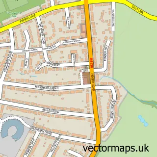
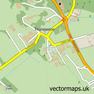
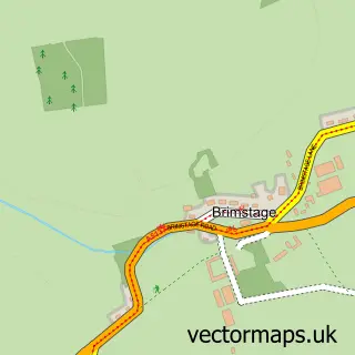
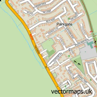
Nearby street map samples around Heswall

More street maps in Merseyside
750 metre map area coverage
Boundary, postcode and point of interest information for the 750m x 750m rectangle centred on this sample map.
Boundaries containing map centre
Constituency: Wirral West Co Const
District: Wirral District (B)
Icb: NHS Cheshire and Merseyside ICB
Police Force: merseyside
Postcode District: CH60
Postcode Sector: CH60 7
Ward: Heswall Ward
Nearby boundaries intersecting sample
Postcode Sector: CH60 0, CH60 4, CH60 5, CH60 6
Postcode coverage
POI category counts
Hair Salon: 14
Bank Credit Union: 8
Beauty Salon: 8
Clothing Store: 7
Coffee Shop: 7
Pizza Restaurant: 7
Pub: 7
Church Cathedral: 6
Barber: 5
Charity Organization: 5
Sample points of interest
- Stanhope Accountancy & Advisory
- Creation Personal Training + Therapies
- Funky Vibes Marketing
- Heads Up Marketing
- Herd Marketing
- Hyena Design
- Heswall Holistic Health Centre
- Heswall Ambulance Station
- Claire House Children S Hospice Charity Shops
- Clive Watkin Sales And Letting Agents Heswall
- RW Jones Heswall
- KJP Architecture
Create a larger editable map of Heswall
This sample shows only a 750 metre area. To create a larger map of Heswall, use our map builder to choose your own coverage area, add titles and download editable SVG, PDF and PNG files.
Create a custom map of Heswall