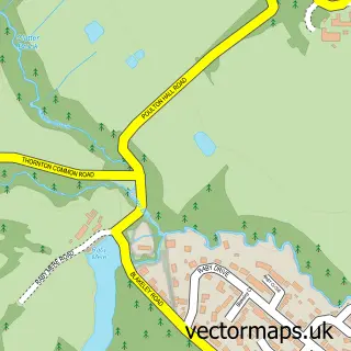
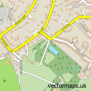
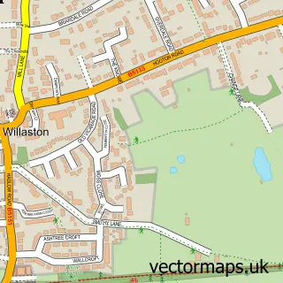
This Thornton Hough street map is a detailed vector street map covering a 750m x 750m area. Select a larger area to create and download your own vector street map of Thornton Hough.
The 750-metre map sample for Thornton Hough covers 109 mapped buildings and approximately 7.5 km of road detail, of which 10 named roads are named. The immediate area includes 1 school, 1 pub and 6 MOT stations within 2 miles. The wider area around Thornton Hough features 2 tourism points of interest, 2 food and drink venues and 1 hotel. To create a larger or custom map of Thornton Hough, the map builder lets you define your own coverage area and download editable SVG, PDF and PNG files.
Create a larger editable map of Thornton Hough
Choose any area you need and generate a high-quality vector map instantly. Perfect for print, planning, design, business and personal use.

This Thornton Hough street map in Merseyside is available as downloadable SVG, PDF and PNG map files, or as a printed map for planning, business, display, education, local information and design work. You can also create a larger custom map area using the map selector.
What this Thornton Hough map sample shows
Thornton Hough lies within Wirral District (B) parish, part of Clatterbridge ward in the Wirral District (B) local authority area. The postcode geography for this area includes the CH postcode area, the CH63 postcode district and the CH63 1 postcode sector. Residents fall under the Nhs Cheshire And Merseyside Integrated Care Board for NHS services.
Local features near Thornton Hough
Within 2 milesAmenities and services in and around Thornton Hough.
Administrative and postcode information for Thornton Hough
Thornton Hough lies within Wirral District (B) parish, part of Clatterbridge ward in the Wirral District (B) local authority area. The postcode geography for this area includes the CH postcode area, the CH63 postcode district and the CH63 1 postcode sector. Residents fall under the Nhs Cheshire And Merseyside Integrated Care Board for NHS services.
Nearby street map samples around Thornton Hough

More street maps in Merseyside
750 metre map area coverage
Boundary, postcode and point of interest information for the 750m x 750m rectangle centred on this sample map.
Boundaries containing map centre
Constituency: Wirral West Co Const
District: Wirral District (B)
Icb: NHS Cheshire and Merseyside ICB
Police Force: merseyside
Postcode District: CH63
Postcode Sector: CH63 1
Ward: Clatterbridge Ward
Nearby boundaries intersecting sample
Postcode Sector: CH63 4
Postcode coverage
POI category counts
Church Cathedral: 2
Dentist: 2
Employment Agencies: 2
Park: 2
Property Management: 2
Anglican Church: 1
Beauty Salon: 1
Bed And Breakfast: 1
Cafe: 1
Charity Organization: 1
Sample points of interest
- All Saints', Thornton Hough
- Sandra Jones Hair Studio
- Mere Brook House
- The Village Coffee Shop
- Horse Sense Wirral
- All Saints Parish Church
- St. Georges United Reformed Church
- Thornton Hough Village Hall
- Thornton Hough Modern Jive
- Thornton Hall Hotel And Spa
- Buckle & McGrath Ltd.
- Buckle Advanced Dental Care
Create a larger editable map of Thornton Hough
This sample shows only a 750 metre area. To create a larger map of Thornton Hough, use our map builder to choose your own coverage area, add titles and download editable SVG, PDF and PNG files.
Create a custom map of Thornton Hough