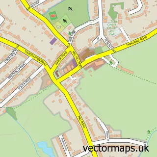
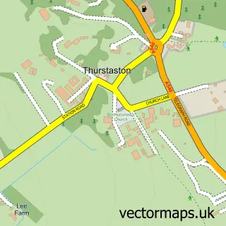
This Barnston street map is a detailed vector street map covering a 750m x 750m area. Select a larger area to create and download your own vector street map of Barnston.
The 750-metre map sample for Barnston covers 81 mapped buildings and approximately 4.7 km of road detail, of which 2 named roads are named. The immediate area includes 3 GP surgeries within 2 miles, 1 pub and 11 MOT stations within 2 miles. The wider area around Barnston features 1 food and drink venue and 1 hotel. To create a larger or custom map of Barnston, the map builder lets you define your own coverage area and download editable SVG, PDF and PNG files.
Create a larger editable map of Barnston
Choose any area you need and generate a high-quality vector map instantly. Perfect for print, planning, design, business and personal use.

This Barnston street map in Merseyside is available as downloadable SVG, PDF and PNG map files, or as a printed map for planning, business, display, education, local information and design work. You can also create a larger custom map area using the map selector.
What this Barnston map sample shows
Barnston lies within Wirral District (B) parish, part of Pensby And Thingwall ward in the Wirral District (B) local authority area. The postcode geography for this area includes the CH postcode area, the CH61 postcode district and the CH61 1 postcode sector. Residents fall under the Nhs Cheshire And Merseyside Integrated Care Board for NHS services.
Local features near Barnston
Within 2 milesAmenities and services in and around Barnston.
Administrative and postcode information for Barnston
Barnston lies within Wirral District (B) parish, part of Pensby And Thingwall ward in the Wirral District (B) local authority area. The postcode geography for this area includes the CH postcode area, the CH61 postcode district and the CH61 1 postcode sector. Residents fall under the Nhs Cheshire And Merseyside Integrated Care Board for NHS services.
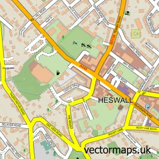
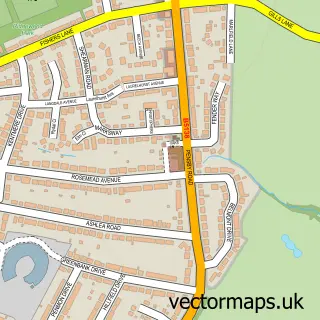
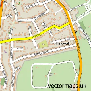
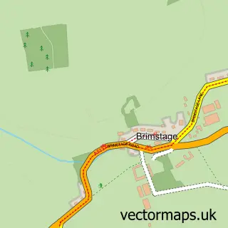
Nearby street map samples around Barnston

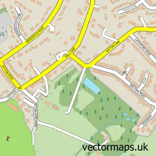
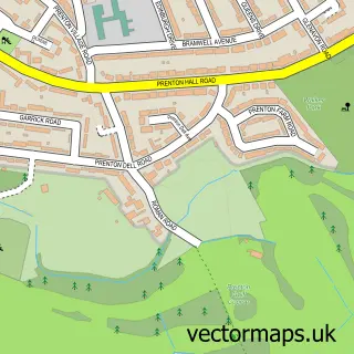
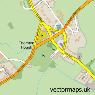
More street maps in Merseyside
750 metre map area coverage
Boundary, postcode and point of interest information for the 750m x 750m rectangle centred on this sample map.
Boundaries containing map centre
Constituency: Wirral West Co Const
District: Wirral District (B)
Icb: NHS Cheshire and Merseyside ICB
Police Force: merseyside
Postcode District: CH61
Postcode Sector: CH61 1
Ward: Pensby and Thingwall Ward
Nearby boundaries intersecting sample
Postcode District: CH60
Postcode Sector: CH60 1, CH61 9
Postcode coverage
POI category counts
Church Cathedral: 2
Contractor: 2
Anglican Church: 1
Bar: 1
Building Supply Store: 1
Clothing Store: 1
Cottage: 1
Hotel: 1
Pub: 1
Scout Hall: 1
Sample points of interest
- Barnston: Christ Church
- Stange & Co
- Ready Use Concrete
- Christ Church
- Longcroft Church
- Barnston Village Hat Hire
- Horti Landscapes
- Stone Heaven
- Dale Cottage
- Barnston House holiday home by Rework Accommodation
- The Fox and Hounds
- 1st Barnston
Create a larger editable map of Barnston
This sample shows only a 750 metre area. To create a larger map of Barnston, use our map builder to choose your own coverage area, add titles and download editable SVG, PDF and PNG files.
Create a custom map of Barnston