This Irby street map is a detailed vector street map covering a 750m x 750m area. Select a larger area to create and download your own vector street map of Irby.
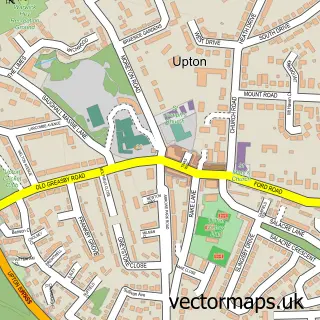
The 750-metre map sample for Irby covers 329 mapped buildings and approximately 10.6 km of road detail, of which 20 named roads are named. The immediate area includes 3 GP surgeries within 2 miles, 6 pubs and 1 MOT station, with 8 within 2 miles. The wider area around Irby features 2 tourism points of interest, 9 food and drink venues and 1 hotel. To create a larger or custom map of Irby, the map builder lets you define your own coverage area and download editable SVG, PDF and PNG files.
Create a larger editable map of Irby
Choose any area you need and generate a high-quality vector map instantly. Perfect for print, planning, design, business and personal use.

This Irby street map in Merseyside is available as downloadable SVG, PDF and PNG map files, or as a printed map for planning, business, display, education, local information and design work. You can also create a larger custom map area using the map selector.
What this Irby map sample shows
Irby lies within Wirral District (B) parish, part of Greasby, Frankby And Irby ward in the Wirral District (B) local authority area. The postcode geography for this area includes the CH postcode area, the CH61 postcode district and the CH61 2 postcode sector. Residents fall under the Nhs Cheshire And Merseyside Integrated Care Board for NHS services.
Local features near Irby
Within 2 milesAmenities and services in and around Irby.
Administrative and postcode information for Irby
The local authority covering Irby is Wirral District (B), within the county of Merseyside. The settlement lies within Greasby, Frankby And Irby ward and Wirral District (B) civil parish. The CH61 postcode district and CH61 2 postcode sector serve the immediate area. NHS provision in the area is delivered through Wirral University Teaching Hospital Nhs Foundation Trust.
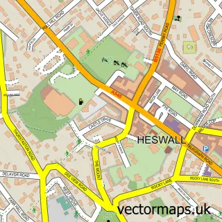
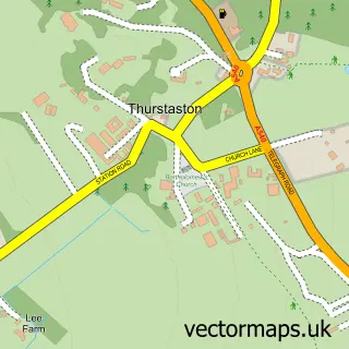
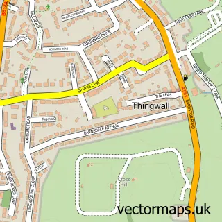
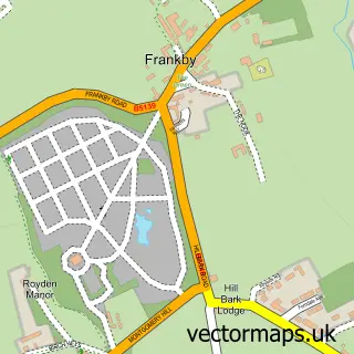
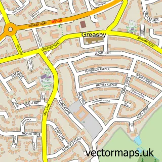
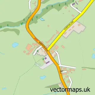
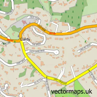
Nearby street map samples around Irby

More street maps in Merseyside
750 metre map area coverage
Boundary, postcode and point of interest information for the 750m x 750m rectangle centred on this sample map.
Boundaries containing map centre
Constituency: Wirral West Co Const
District: Wirral District (B)
Icb: NHS Cheshire and Merseyside ICB
Police Force: merseyside
Postcode District: CH61
Postcode Sector: CH61 3
Ward: Greasby, Frankby and Irby Ward
Nearby boundaries intersecting sample
Postcode Sector: CH61 0, CH61 2, CH61 4, CH61 8
Ward: Pensby and Thingwall Ward
Postcode coverage
POI category counts
Pub: 6
Church Cathedral: 4
Beauty Salon: 3
Hair Salon: 3
Pharmacy: 3
Barber: 2
Cafe: 2
Computer Store: 2
Convenience Store: 2
Indian Restaurant: 2
Sample points of interest
- Vanilla Websites
- Irby Osteopathy Clinic
- See St Bartholomew's Thurstaston and St Chad's Irby for details
- Morrisons Daily - Irby Thingwall Road, Irby
- Irby Village Barbers
- Sal's Barbers
- Design Bathrooms
- Bien Beauty & Laser Clinic
- Maxelegance
- Younger Beauty
- PCI Xpress Ltd.
- Make Mortgages Easy
Create a larger editable map of Irby
This sample shows only a 750 metre area. To create a larger map of Irby, use our map builder to choose your own coverage area, add titles and download editable SVG, PDF and PNG files.
Create a custom map of Irby