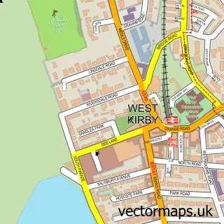
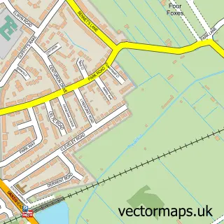
This Caldy street map is a detailed vector street map covering a 750m x 750m area. Select a larger area to create and download your own vector street map of Caldy.
The 750-metre map sample for Caldy covers 231 mapped buildings and approximately 13.0 km of road detail, of which 14 named roads are named. The immediate area includes 1 GP surgery within 2 miles and 3 MOT stations within 2 miles. To create a larger or custom map of Caldy, the map builder lets you define your own coverage area and download editable SVG, PDF and PNG files.
Create a larger editable map of Caldy
Choose any area you need and generate a high-quality vector map instantly. Perfect for print, planning, design, business and personal use.

This Caldy street map in Merseyside is available as downloadable SVG, PDF and PNG map files, or as a printed map for planning, business, display, education, local information and design work. You can also create a larger custom map area using the map selector.
What this Caldy map sample shows
Caldy lies within Wirral District (B) parish, part of West Kirby And Thurstaston ward in the Wirral District (B) local authority area. The postcode geography for this area includes the CH postcode area, the CH48 postcode district and the CH48 2 postcode sector. Residents fall under the Nhs Cheshire And Merseyside Integrated Care Board for NHS services.
Local features near Caldy
Within 2 milesAmenities and services in and around Caldy.
Administrative and postcode information for Caldy
The local authority covering Caldy is Wirral District (B), within the county of Merseyside. The settlement lies within West Kirby And Thurstaston ward and Wirral District (B) civil parish. The CH48 postcode district and CH48 2 postcode sector serve the immediate area. NHS provision in the area is delivered through Wirral University Teaching Hospital Nhs Foundation Trust.
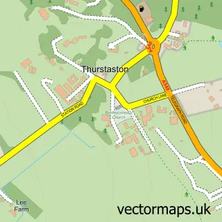
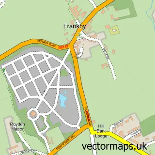
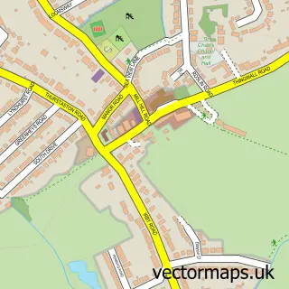
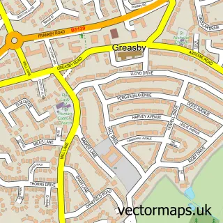
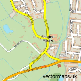
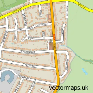
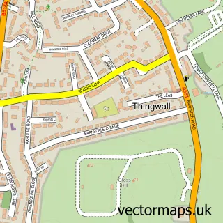
Nearby street map samples around Caldy

More street maps in Merseyside
750 metre map area coverage
Boundary, postcode and point of interest information for the 750m x 750m rectangle centred on this sample map.
Boundaries containing map centre
Constituency: Wirral West Co Const
District: Wirral District (B)
Icb: NHS Cheshire and Merseyside ICB
Police Force: merseyside
Postcode District: CH48
Postcode Sector: CH48 2
Ward: West Kirby and Thurstaston Ward
Nearby boundaries intersecting sample
Postcode Sector: CH48 1
Postcode coverage
POI category counts
Anglican Church: 2
Retirement Home: 2
Accommodation: 1
Architectural Designer: 1
Assisted Living Facility: 1
Financial Service: 1
Jewelry And Watches Manufacturer: 1
Medical Center: 1
Printing Services: 1
Professional Services: 1
Sample points of interest
- Caldy Village
- Caldy Church of the Resurrection & All Saints
- Church of the Resurrection and All Saints
- Collins Architecture
- Caldy Manor Residential Home
- Chelwood Financial Management
- Absolute Pearls
- Anchor Trust - Guardian Court
- Caldy Open Gardens
- Complete Editing
- Barchester - Caldy Manor Care Home
- Caldy Manor Care Home - Barchester Healthcare
Create a larger editable map of Caldy
This sample shows only a 750 metre area. To create a larger map of Caldy, use our map builder to choose your own coverage area, add titles and download editable SVG, PDF and PNG files.
Create a custom map of Caldy