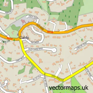
This Saughall Massie street map is a detailed vector street map covering a 750m x 750m area. Select a larger area to create and download your own vector street map of Saughall Massie.
The 750-metre map sample for Saughall Massie covers 298 mapped buildings and approximately 12.4 km of road detail, of which 24 named roads are named. The immediate area includes 8 GP surgeries within 2 miles, 1 pub and 9 MOT stations within 2 miles. The wider area around Saughall Massie features 1 food and drink venue. To create a larger or custom map of Saughall Massie, the map builder lets you define your own coverage area and download editable SVG, PDF and PNG files.
Create a larger editable map of Saughall Massie
Choose any area you need and generate a high-quality vector map instantly. Perfect for print, planning, design, business and personal use.

This Saughall Massie street map in Merseyside is available as downloadable SVG, PDF and PNG map files, or as a printed map for planning, business, display, education, local information and design work. You can also create a larger custom map area using the map selector.
What this Saughall Massie map sample shows
Saughall Massie lies within Wirral District (B) parish, part of Upton ward in the Wirral District (B) local authority area. The postcode geography for this area includes the CH postcode area, the CH49 postcode district and the CH49 6 postcode sector. Residents fall under the Nhs Cheshire And Merseyside Integrated Care Board for NHS services.
Local features near Saughall Massie
Within 2 milesAmenities and services in and around Saughall Massie.
Administrative and postcode information for Saughall Massie
The local authority covering Saughall Massie is Wirral District (B), within the county of Merseyside. The settlement lies within Upton ward and Wirral District (B) civil parish. The CH49 postcode district and CH49 6 postcode sector serve the immediate area. NHS provision in the area is delivered through Wirral University Teaching Hospital Nhs Foundation Trust.
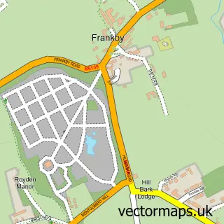
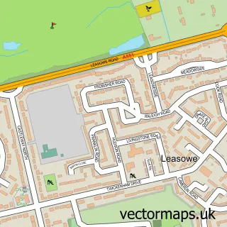
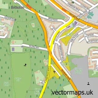
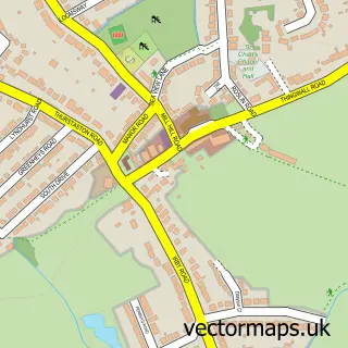
Nearby street map samples around Saughall Massie
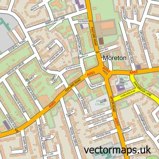

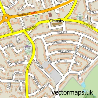
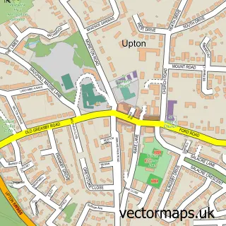
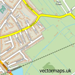
More street maps in Merseyside
750 metre map area coverage
Boundary, postcode and point of interest information for the 750m x 750m rectangle centred on this sample map.
Boundaries containing map centre
Constituency: Wallasey Boro Const
District: Wirral District (B)
Icb: NHS Cheshire and Merseyside ICB
Police Force: merseyside
Postcode District: CH46
Postcode Sector: CH46 5
Ward: Moreton West and Saughall Massie Ward
Nearby boundaries intersecting sample
Constituency: Wirral West Co Const
Postcode District: CH48, CH49
Postcode Sector: CH46 0, CH46 6, CH48 1, CH49 2, CH49 4
Ward: Hoylake and Meols Ward
Postcode coverage
POI category counts
Automotive: 1
Builders: 1
Building Supply Store: 1
Cottage: 1
Education: 1
Farm: 1
Fishing Club: 1
Gas Station: 1
Naturopathic Holistic: 1
Pub: 1
Sample points of interest
- T W Autos
- Total Care Building Contractors Ltd.
- ABC Handyman Services
- poplar cottage
- Aunty K's Day Care
- Broster J E
- Barnacre Coarse Fishing Lake
- Watt Fuels
- Tracy Longdon Consulting
- Saughall Hotel
- Girtrell Court Saughall Massie
Create a larger editable map of Saughall Massie
This sample shows only a 750 metre area. To create a larger map of Saughall Massie, use our map builder to choose your own coverage area, add titles and download editable SVG, PDF and PNG files.
Create a custom map of Saughall Massie