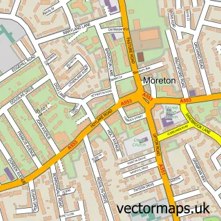
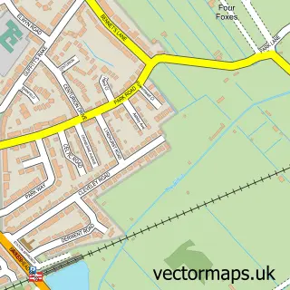
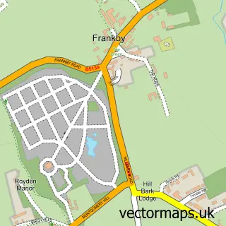
This Leasowe street map is a detailed vector street map covering a 750m x 750m area. Select a larger area to create and download your own vector street map of Leasowe.
The 750-metre map sample for Leasowe covers 339 mapped buildings and approximately 14.0 km of road detail, of which 19 named roads are named. The immediate area includes 2 schools, 1 GP surgery, with 8 within 2 miles and 12 MOT stations within 2 miles. To create a larger or custom map of Leasowe, the map builder lets you define your own coverage area and download editable SVG, PDF and PNG files.
Create a larger editable map of Leasowe
Choose any area you need and generate a high-quality vector map instantly. Perfect for print, planning, design, business and personal use.

This Leasowe street map in Merseyside is available as downloadable SVG, PDF and PNG map files, or as a printed map for planning, business, display, education, local information and design work. You can also create a larger custom map area using the map selector.
What this Leasowe map sample shows
Leasowe lies within Wirral District (B) parish, part of Leasowe And Moreton East ward in the Wirral District (B) local authority area. The postcode geography for this area includes the CH postcode area, the CH46 postcode district and the CH46 8 postcode sector. Residents fall under the Nhs Cheshire And Merseyside Integrated Care Board for NHS services.
Local features near Leasowe
Within 2 milesAmenities and services in and around Leasowe.
Administrative and postcode information for Leasowe
Leasowe lies within Wirral District (B) parish, part of Leasowe And Moreton East ward in the Wirral District (B) local authority area. The postcode geography for this area includes the CH postcode area, the CH46 postcode district and the CH46 8 postcode sector. Residents fall under the Nhs Cheshire And Merseyside Integrated Care Board for NHS services.
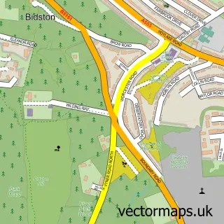
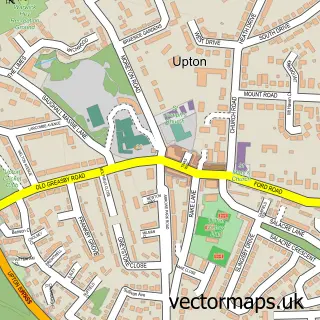
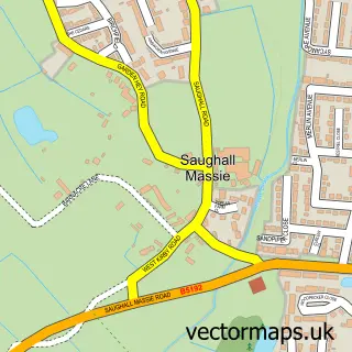
Nearby street map samples around Leasowe

More street maps in Merseyside
750 metre map area coverage
Boundary, postcode and point of interest information for the 750m x 750m rectangle centred on this sample map.
Boundaries containing map centre
Constituency: Wallasey Boro Const
District: Wirral District (B)
Icb: NHS Cheshire and Merseyside ICB
Police Force: merseyside
Postcode District: CH46
Postcode Sector: CH46 2
Ward: Leasowe and Moreton East Ward
Nearby boundaries intersecting sample
Postcode Sector: CH46 1, CH46 3
Postcode coverage
POI category counts
Atms: 2
Elementary School: 2
Medical Center: 2
Nursery And Gardening: 2
Professional Services: 2
Supermarket: 2
Anglican Church: 1
Beauty And Spa: 1
Beauty Salon: 1
British Restaurant: 1
Sample points of interest
- St Chad's, Leasowe
- Go Local
- PayPoint
- Makeup by Maisie
- Hollywood Laser Room
- Sayers
- Wirral Radio
- Andy McGreal Plant Hire Ltd
- Leasowe Millennium Centre
- Leasowe Community Centre
- Premier Twickenham Drive Supermarket
- Evri ParcelShop
Create a larger editable map of Leasowe
This sample shows only a 750 metre area. To create a larger map of Leasowe, use our map builder to choose your own coverage area, add titles and download editable SVG, PDF and PNG files.
Create a custom map of Leasowe