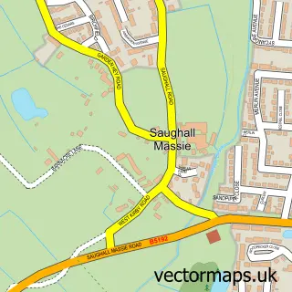
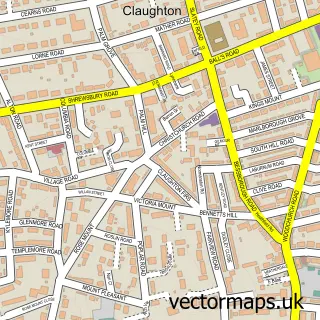
This Moreton street map is a detailed vector street map covering a 750m x 750m area. Select a larger area to create and download your own vector street map of Moreton.
The 750-metre map sample for Moreton covers 586 mapped buildings and approximately 22.1 km of road detail, of which 56 named roads are named. The immediate area includes 2 schools, 3 GP surgeries, with 9 within 2 miles, 7 pubs and 7 MOT stations within 2 miles. The wider area around Moreton features 1 tourism point of interest and 18 food and drink venues. To create a larger or custom map of Moreton, the map builder lets you define your own coverage area and download editable SVG, PDF and PNG files.
Create a larger editable map of Moreton
Choose any area you need and generate a high-quality vector map instantly. Perfect for print, planning, design, business and personal use.

This Moreton street map in Merseyside is available as downloadable SVG, PDF and PNG map files, or as a printed map for planning, business, display, education, local information and design work. You can also create a larger custom map area using the map selector.
What this Moreton map sample shows
Moreton lies within Wirral District (B) parish, part of Leasowe And Moreton East ward in the Wirral District (B) local authority area. The postcode geography for this area includes the CH postcode area, the CH46 postcode district and the CH46 8 postcode sector. Residents fall under the Nhs Cheshire And Merseyside Integrated Care Board for NHS services.
Local features near Moreton
Within 2 milesAmenities and services in and around Moreton.
Administrative and postcode information for Moreton
Moreton lies within Wirral District (B) parish, part of Leasowe And Moreton East ward in the Wirral District (B) local authority area. The postcode geography for this area includes the CH postcode area, the CH46 postcode district and the CH46 8 postcode sector. Residents fall under the Nhs Cheshire And Merseyside Integrated Care Board for NHS services.
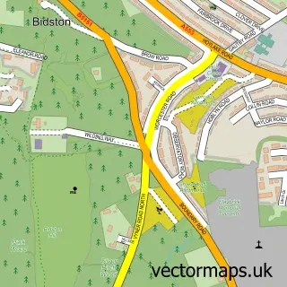
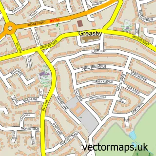
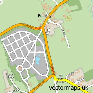
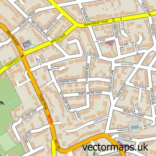
Nearby street map samples around Moreton

More street maps in Merseyside
750 metre map area coverage
Boundary, postcode and point of interest information for the 750m x 750m rectangle centred on this sample map.
Boundaries containing map centre
Constituency: Wallasey Boro Const
District: Wirral District (B)
Icb: NHS Cheshire and Merseyside ICB
Police Force: merseyside
Postcode District: CH46
Postcode Sector: CH46 6
Ward: Moreton West and Saughall Massie Ward
Nearby boundaries intersecting sample
Postcode Sector: CH46 0, CH46 7, CH46 8, CH46 9
Ward: Leasowe and Moreton East Ward
Postcode coverage
POI category counts
Hair Salon: 12
Beauty Salon: 10
Indian Restaurant: 7
Pub: 7
Church Cathedral: 6
Flowers And Gifts Shop: 6
Bakery: 5
Banks: 5
Beauty And Spa: 5
Coffee Shop: 5
Sample points of interest
- Accountants Wirral - The Financial Management Centre
- The Financial Management Centre
- The Local Bookkeeper
- Louise Webster MBAcC
- Louise Webster MBAcC, Lic.Ac.
- cfea
- Road Runner Marketing
- Andy Green Wirral Hypnotherapist
- Sue Wilson Holistic Therapies
- Moreton Ambulance Station.
- Wonderland Early Years Child Care
- British Red Cross
Create a larger editable map of Moreton
This sample shows only a 750 metre area. To create a larger map of Moreton, use our map builder to choose your own coverage area, add titles and download editable SVG, PDF and PNG files.
Create a custom map of Moreton