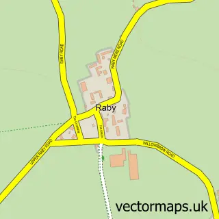
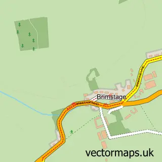
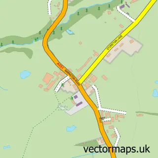
This Raby Mere street map is a detailed vector street map covering a 750m x 750m area. Select a larger area to create and download your own vector street map of Raby Mere.
The 750-metre map sample for Raby Mere covers 97 mapped buildings and approximately 7.0 km of road detail, of which 11 named roads are named. The immediate area includes 6 GP surgeries within 2 miles and 10 MOT stations within 2 miles. To create a larger or custom map of Raby Mere, the map builder lets you define your own coverage area and download editable SVG, PDF and PNG files.
Create a larger editable map of Raby Mere
Choose any area you need and generate a high-quality vector map instantly. Perfect for print, planning, design, business and personal use.

This Raby Mere street map in Merseyside is available as downloadable SVG, PDF and PNG map files, or as a printed map for planning, business, display, education, local information and design work. You can also create a larger custom map area using the map selector.
What this Raby Mere map sample shows
Raby Mere lies within Wirral District (B) parish, part of Bromborough ward in the Wirral District (B) local authority area. The postcode geography for this area includes the CH postcode area, the CH62 postcode district and the CH62 2 postcode sector. Residents fall under the Nhs Cheshire And Merseyside Integrated Care Board for NHS services.
Local features near Raby Mere
Within 2 milesAmenities and services in and around Raby Mere.
Administrative and postcode information for Raby Mere
The local authority covering Raby Mere is Wirral District (B), within the county of Merseyside. The settlement lies within Bromborough ward and Wirral District (B) civil parish. The CH62 postcode district and CH62 2 postcode sector serve the immediate area. NHS provision in the area is delivered through Wirral University Teaching Hospital Nhs Foundation Trust.
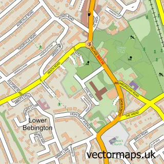
Nearby street map samples around Raby Mere
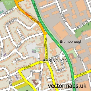

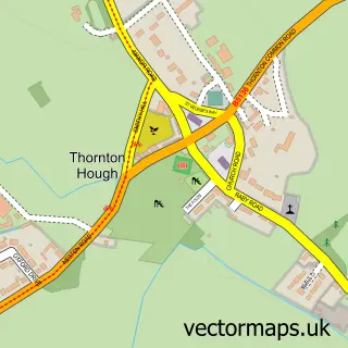
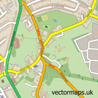
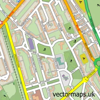
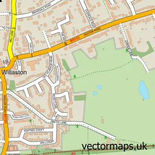
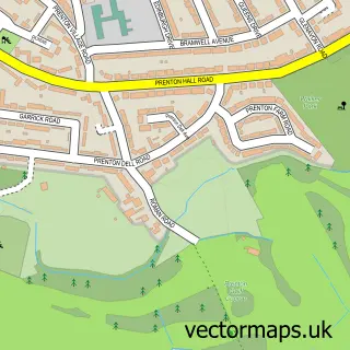
More street maps in Merseyside
750 metre map area coverage
Boundary, postcode and point of interest information for the 750m x 750m rectangle centred on this sample map.
Boundaries containing map centre
Constituency: Wirral West Co Const
District: Wirral District (B)
Icb: NHS Cheshire and Merseyside ICB
Police Force: merseyside
Postcode District: CH63
Postcode Sector: CH63 0
Ward: Clatterbridge Ward
Nearby boundaries intersecting sample
Postcode Sector: CH63 9
Postcode coverage
POI category counts
Archery Range: 1
Event Planning: 1
Farm: 1
Home Cleaning: 1
Interior Design: 1
Lake: 1
Wholesale Store: 1
Sample points of interest
- Wirral Archers
- Poulton Hall
- Bank Farm Equestrian
- Gayton Cleaning Services
- Creative Home Workshops
- Raby Mere
- Theatre Scenery Supplies
Create a larger editable map of Raby Mere
This sample shows only a 750 metre area. To create a larger map of Raby Mere, use our map builder to choose your own coverage area, add titles and download editable SVG, PDF and PNG files.
Create a custom map of Raby Mere