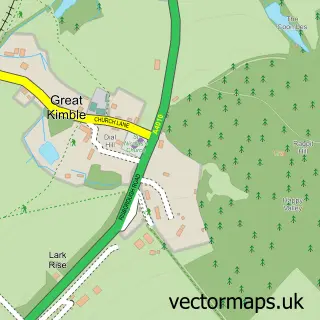
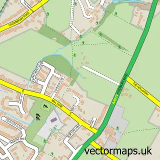
This Little Kimble street map is a detailed vector street map covering a 750m x 750m area. Select a larger area to create and download your own vector street map of Little Kimble.
The 750-metre map sample for Little Kimble covers 158 mapped buildings and approximately 11.0 km of road detail, of which 8 named roads are named. The immediate area includes 1 railway station and 1 MOT station within 2 miles. The wider area around Little Kimble features 1 hotel. To create a larger or custom map of Little Kimble, the map builder lets you define your own coverage area and download editable SVG, PDF and PNG files.
Create a larger editable map of Little Kimble
Choose any area you need and generate a high-quality vector map instantly. Perfect for print, planning, design, business and personal use.

This Little Kimble street map in Buckinghamshire is available as downloadable SVG, PDF and PNG map files, or as a printed map for planning, business, display, education, local information and design work. You can also create a larger custom map area using the map selector.
What this Little Kimble map sample shows
Little Kimble lies within Great And Little Kimble Cum Marsh Cp parish, part of Icknield ward in the Buckinghamshire local authority area. The postcode geography for this area includes the HP postcode area, the HP17 postcode district and the HP17 9 postcode sector. Residents fall under the Nhs Buckinghamshire, Oxfordshire And Berkshire West Integrated Care Board for NHS services.
Local features near Little Kimble
Within 2 milesAmenities and services in and around Little Kimble.
Administrative and postcode information for Little Kimble
The local authority covering Little Kimble is Buckinghamshire, within the county of Buckinghamshire. The settlement lies within Icknield ward and Great And Little Kimble Cum Marsh Cp civil parish. The HP17 postcode district and HP17 9 postcode sector serve the immediate area. NHS provision in the area is delivered through Buckinghamshire Healthcare Nhs Trust.
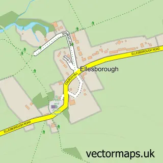
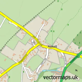
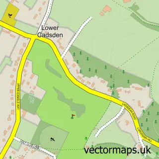
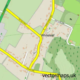
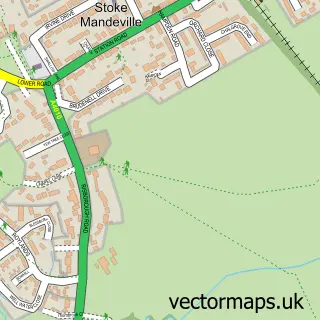
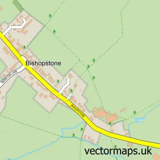
Nearby street map samples around Little Kimble


More street maps in Buckinghamshire
750 metre map area coverage
Boundary, postcode and point of interest information for the 750m x 750m rectangle centred on this sample map.
Boundaries containing map centre
Constituency: Mid Buckinghamshire Co Const
District: Buckinghamshire
Icb: NHS Thames Valley ICB
Parish: Great and Little Kimble cum Marsh CP
Police Force: thames valley
Postcode District: HP17
Postcode Sector: HP17 0
Ward: Ridgeway East Ward
Nearby boundaries intersecting sample
Postcode District: HP22
Postcode Sector: HP17 9, HP22 5
Postcode coverage
POI category counts
Arts And Entertainment: 1
Asian Restaurant: 1
Building Supply Store: 1
Cards And Stationery Store: 1
Church Cathedral: 1
Contractor: 1
Cremation Services: 1
Fast Food Restaurant: 1
Home Developer: 1
Hotel: 1
Sample points of interest
- Kimble Stewart Hall
- Little Kimble Indian Restaurant
- R Nayler Construction
- Friars Print
- Kimble Free Church
- Stephen Russell Construction
- K Y Green Funeral Directors
- Kasturi
- Hayfield Crescent by Hayfield
- Hampden House
- Griffin House School
- Little Kimble railway station
Create a larger editable map of Little Kimble
This sample shows only a 750 metre area. To create a larger map of Little Kimble, use our map builder to choose your own coverage area, add titles and download editable SVG, PDF and PNG files.
Create a custom map of Little Kimble