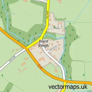
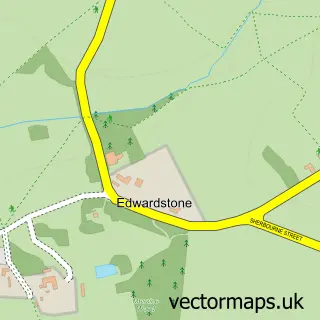
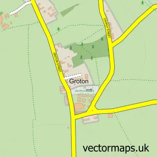
This Little Waldingfield street map is a detailed vector street map covering a 750m x 750m area. Select a larger area to create and download your own vector street map of Little Waldingfield.
The 750-metre map sample for Little Waldingfield covers 130 mapped buildings and approximately 4.9 km of road detail, of which 4 named roads are named. The immediate area includes 2 MOT stations within 2 miles. To create a larger or custom map of Little Waldingfield, the map builder lets you define your own coverage area and download editable SVG, PDF and PNG files.
Create a larger editable map of Little Waldingfield
Choose any area you need and generate a high-quality vector map instantly. Perfect for print, planning, design, business and personal use.

This Little Waldingfield street map in Suffolk is available as downloadable SVG, PDF and PNG map files, or as a printed map for planning, business, display, education, local information and design work. You can also create a larger custom map area using the map selector.
What this Little Waldingfield map sample shows
Little Waldingfield lies within Little Waldingfield Cp parish, part of Lavenham ward in the Babergh District local authority area. The postcode geography for this area includes the CO postcode area, the CO10 postcode district and the CO10 0 postcode sector. Residents fall under the Nhs Suffolk And North East Essex Integrated Care Board for NHS services.
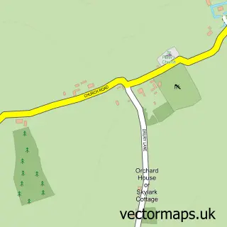
Local features near Little Waldingfield
Within 2 milesAmenities and services in and around Little Waldingfield.
Administrative and postcode information for Little Waldingfield
The local authority covering Little Waldingfield is Babergh District, within the county of Suffolk. The settlement lies within Lavenham ward and Little Waldingfield Cp civil parish. The CO10 postcode district and CO10 0 postcode sector serve the immediate area. NHS provision in the area is delivered through West Suffolk Nhs Foundation Trust.
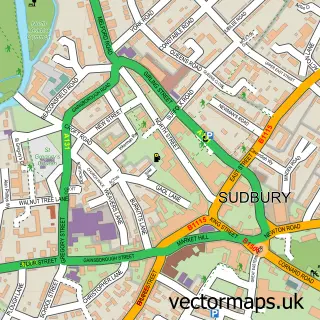
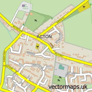
Nearby street map samples around Little Waldingfield

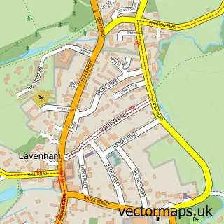
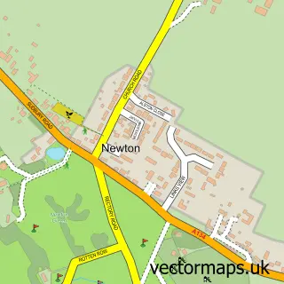
More street maps in Suffolk
750 metre map area coverage
Boundary, postcode and point of interest information for the 750m x 750m rectangle centred on this sample map.
Boundaries containing map centre
Constituency: South Suffolk Co Const
County: Suffolk County
District: Babergh District
Icb: NHS Essex ICB
Parish: Little Waldingfield CP
Police Force: suffolk
Postcode District: CO10
Postcode Sector: CO10 0
Ward: Lavenham Ward
Nearby boundaries intersecting sample
Parish: Great Waldingfield CP
Postcode coverage
POI category counts
Anglican Church: 1
Bar: 1
Bridal Shop: 1
Caterer: 1
Charity Organization: 1
Damage Restoration: 1
Electrician: 1
Garbage Collection Service: 1
Life Coach: 1
Mass Media: 1
Sample points of interest
- St Lawrence's, Lt. Waldingfield
- The Swan Inn
- Sudbury Wedding Videos
- Mad Hatter's Party Pieces
- Sesaw Animal Shelter , Lavenheath .
- Revive Stoneworks
- S B Electrical
- ATS Mini Skips - Skip Hire Sudbury
- Prana Life Coaching
- Sudbury Wedding Videos
- Jeff Turnbull Photography
- 1Stop Trailers Ltd
Create a larger editable map of Little Waldingfield
This sample shows only a 750 metre area. To create a larger map of Little Waldingfield, use our map builder to choose your own coverage area, add titles and download editable SVG, PDF and PNG files.
Create a custom map of Little Waldingfield