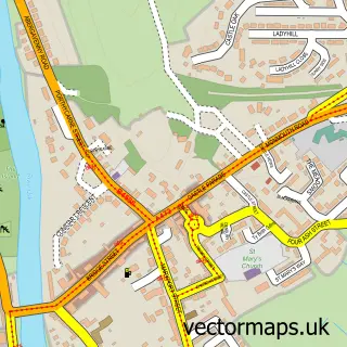
This Llanfihangel-tor-y-mynydd street map is a detailed vector street map covering a 750m x 750m area. Select a larger area to create and download your own vector street map of Llanfihangel-tor-y-mynydd.
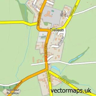
The 750-metre map sample for Llanfihangel-tor-y-mynydd covers 26 mapped buildings and approximately 17.8 km of road detail. The immediate area includes 1 MOT station within 2 miles. To create a larger or custom map of Llanfihangel-tor-y-mynydd, the map builder lets you define your own coverage area and download editable SVG, PDF and PNG files.
Create a larger editable map of Llanfihangel-tor-y-mynydd
Choose any area you need and generate a high-quality vector map instantly. Perfect for print, planning, design, business and personal use.

This Llanfihangel-tor-y-mynydd street map in Gwent is available as downloadable SVG, PDF and PNG map files, or as a printed map for planning, business, display, education, local information and design work. You can also create a larger custom map area using the map selector.
What this Llanfihangel-tor-y-mynydd map sample shows
Llanfihangel-tor-y-mynydd lies within Trellech United Community parish, part of Trellech United ward in the Sir Fynwy - Monmouthshire local authority area. The postcode geography for this area includes the NP postcode area, the NP16 postcode district and the NP16 6 postcode sector. Residents fall under the Aneurin Bevan University Health Board for NHS services.
Local features near Llanfihangel-tor-y-mynydd
Within 2 milesAmenities and services in and around Llanfihangel-tor-y-mynydd.
Administrative and postcode information for Llanfihangel-tor-y-mynydd
Llanfihangel-tor-y-mynydd lies within Trellech United Community parish, part of Trellech United ward in the Sir Fynwy - Monmouthshire local authority area. The postcode geography for this area includes the NP postcode area, the NP16 postcode district and the NP16 6 postcode sector. Residents fall under the Aneurin Bevan University Health Board for NHS services.
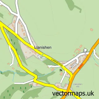
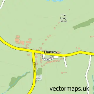
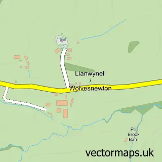
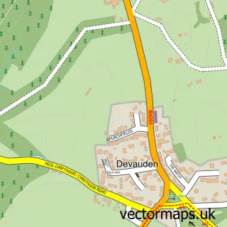
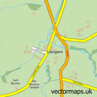
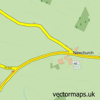
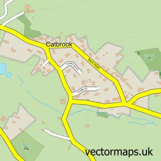
Nearby street map samples around Llanfihangel-tor-y-mynydd

More street maps in Gwent
750 metre map area coverage
Boundary, postcode and point of interest information for the 750m x 750m rectangle centred on this sample map.
Boundaries containing map centre
Constituency: Monmouthshire Co Const
District: Sir Fynwy - Monmouthshire
Icb: Aneurin Bevan University
Parish: Devauden Community
Police Force: gwent
Postcode District: NP15
Postcode Sector: NP15 1
Nearby boundaries intersecting sample
Postcode District: NP16
Postcode Sector: NP16 6
Postcode coverage
POI category counts
Anglican Church: 1
Sample points of interest
- St Michael's Church
Create a larger editable map of Llanfihangel-tor-y-mynydd
This sample shows only a 750 metre area. To create a larger map of Llanfihangel-tor-y-mynydd, use our map builder to choose your own coverage area, add titles and download editable SVG, PDF and PNG files.
Create a custom map of Llanfihangel-tor-y-mynydd