This Catbrook street map is a detailed vector street map covering a 750m x 750m area. Select a larger area to create and download your own vector street map of Catbrook.
The 750-metre map sample for Catbrook covers 124 mapped buildings and approximately 28.3 km of road detail, of which 3 named roads are named. The immediate area includes 1 GP surgery within 2 miles and 1 MOT station within 2 miles. The wider area around Catbrook features 1 tourism point of interest. To create a larger or custom map of Catbrook, the map builder lets you define your own coverage area and download editable SVG, PDF and PNG files.
Create a larger editable map of Catbrook
Choose any area you need and generate a high-quality vector map instantly. Perfect for print, planning, design, business and personal use.

This Catbrook street map in Gwent is available as downloadable SVG, PDF and PNG map files, or as a printed map for planning, business, display, education, local information and design work. You can also create a larger custom map area using the map selector.
What this Catbrook map sample shows
Catbrook lies within Trellech United Community parish, part of Trellech United ward in the Sir Fynwy - Monmouthshire local authority area. The postcode geography for this area includes the NP postcode area, the NP16 postcode district and the NP16 6 postcode sector. Residents fall under the Aneurin Bevan University Health Board for NHS services.
Local features near Catbrook
Within 2 milesAmenities and services in and around Catbrook.
Administrative and postcode information for Catbrook
Catbrook lies within Trellech United Community parish, part of Trellech United ward in the Sir Fynwy - Monmouthshire local authority area. The postcode geography for this area includes the NP postcode area, the NP16 postcode district and the NP16 6 postcode sector. Residents fall under the Aneurin Bevan University Health Board for NHS services.
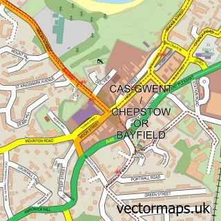
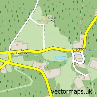
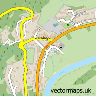
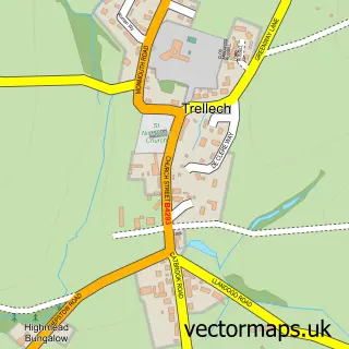
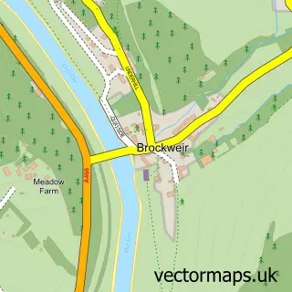
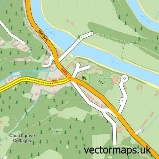
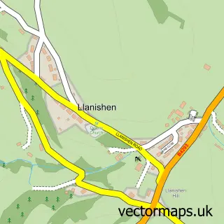
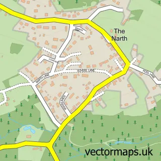
Nearby street map samples around Catbrook


More street maps in Gwent
750 metre map area coverage
Boundary, postcode and point of interest information for the 750m x 750m rectangle centred on this sample map.
Boundaries containing map centre
Constituency: Monmouthshire Co Const
District: Sir Fynwy - Monmouthshire
Icb: Aneurin Bevan University
Parish: Trellech United Community
Police Force: gwent
Postcode District: NP16
Postcode Sector: NP16 6
Nearby boundaries intersecting sample
Postcode District: NP25
Postcode Sector: NP25 4
Postcode coverage
POI category counts
Beauty Salon: 1
Cottage: 1
Distillery: 1
Electrician: 1
Employment Agencies: 1
Information Technology Company: 1
Landmark And Historical Building: 1
Organic Grocery Store: 1
Town Hall: 1
Transportation: 1
Sample points of interest
- Grove House Beauty & Wellness
- Foxes Reach
- Silver Circle Distillery
- Oak Tree Electrical
- Recruiters Search & Selection
- Infotek Software
- Catbrook
- Hempish
- Catbrook Memorial Hall
- Monmouthshire Cottages LLP
Create a larger editable map of Catbrook
This sample shows only a 750 metre area. To create a larger map of Catbrook, use our map builder to choose your own coverage area, add titles and download editable SVG, PDF and PNG files.
Create a custom map of Catbrook