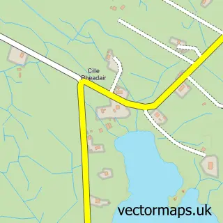
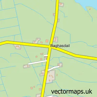
This Loch Baghasdail street map is a detailed vector street map covering a 750m x 750m area. Select a larger area to create and download your own vector street map of Loch Baghasdail.
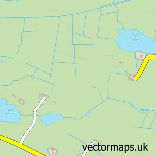
The 750-metre map sample for Loch Baghasdail covers 36 mapped buildings and approximately 5.3 km of road detail, of which 3 named roads are named. The immediate area includes 1 MOT station within 2 miles. The wider area around Loch Baghasdail features 1 food and drink venue and 1 hotel. To create a larger or custom map of Loch Baghasdail, the map builder lets you define your own coverage area and download editable SVG, PDF and PNG files.
Create a larger editable map of Loch Baghasdail
Choose any area you need and generate a high-quality vector map instantly. Perfect for print, planning, design, business and personal use.

This Loch Baghasdail street map in Western Isles is available as downloadable SVG, PDF and PNG map files, or as a printed map for planning, business, display, education, local information and design work. You can also create a larger custom map area using the map selector.
What this Loch Baghasdail map sample shows
Loch Baghasdail lies within Na H-Eileanan An Iar parish, part of Barraigh, Bhatarsaigh, Eirisgeigh Agus Uibhist A Deas ward in the Na H-Eileanan An Iar local authority area. The postcode geography for this area includes the HS postcode area, the HS8 postcode district and the HS8 5 postcode sector. Residents fall under the Western Isles for NHS services.
Local features near Loch Baghasdail
Within 2 milesAmenities and services in and around Loch Baghasdail.
Administrative and postcode information for Loch Baghasdail
Loch Baghasdail lies within Na H-Eileanan An Iar parish, part of Barraigh, Bhatarsaigh, Eirisgeigh Agus Uibhist A Deas ward in the Na H-Eileanan An Iar local authority area. The postcode geography for this area includes the HS postcode area, the HS8 postcode district and the HS8 5 postcode sector. Residents fall under the Western Isles for NHS services.
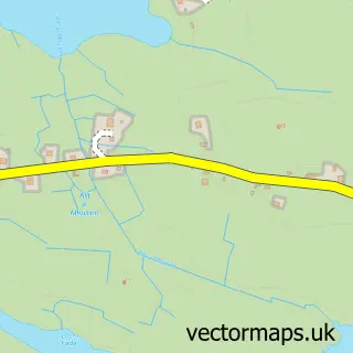
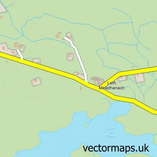
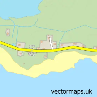
Nearby street map samples around Loch Baghasdail

More street maps in Western Isles
750 metre map area coverage
Boundary, postcode and point of interest information for the 750m x 750m rectangle centred on this sample map.
Boundaries containing map centre
Constituency: Na h-Eileanan an Iar Co Const
District: Na h-Eileanan an Iar
Postcode District: HS8
Postcode Sector: HS8 5
Ward: Uibhist a Deas, Eirisgeigh agus Beinn na Faoghla Ward
Nearby boundaries intersecting sample
Icb: Western Isles
Postcode coverage
POI category counts
Banks: 2
Flowers And Gifts Shop: 2
Automotive Repair: 1
Bank Credit Union: 1
Bed And Breakfast: 1
Boat Tours: 1
Bus Station: 1
Cottage: 1
Engineering Services: 1
Gas Station: 1
Sample points of interest
- Laing Motors
- RBS Lochboisdale
- Royal Bank of Scotland
- Royal Bank of Scotland
- Wireless Cottage Bed and Breakfast
- Uist Sea Tours
- Royal Bank of Scotland
- Uist Storm Pods
- MacAulay Askernish Ltd
- Moss Carder
- Uist Gifts and Information
- Gulf
Create a larger editable map of Loch Baghasdail
This sample shows only a 750 metre area. To create a larger map of Loch Baghasdail, use our map builder to choose your own coverage area, add titles and download editable SVG, PDF and PNG files.
Create a custom map of Loch Baghasdail