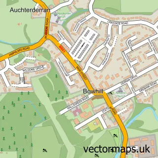
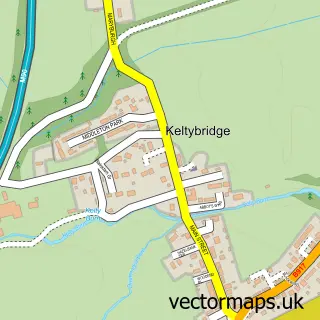
This Lochgelly street map is a detailed vector street map covering a 750m x 750m area. Select a larger area to create and download your own vector street map of Lochgelly.
The 750-metre map sample for Lochgelly covers 547 mapped buildings and approximately 21.7 km of road detail, of which 59 named roads are named. The immediate area includes 3 GP surgeries, with 4 within 2 miles, 4 pubs and 1 MOT station, with 7 within 2 miles. The wider area around Lochgelly features 2 tourism points of interest and 8 food and drink venues. To create a larger or custom map of Lochgelly, the map builder lets you define your own coverage area and download editable SVG, PDF and PNG files.
Create a larger editable map of Lochgelly
Choose any area you need and generate a high-quality vector map instantly. Perfect for print, planning, design, business and personal use.

This Lochgelly street map in Fife is available as downloadable SVG, PDF and PNG map files, or as a printed map for planning, business, display, education, local information and design work. You can also create a larger custom map area using the map selector.
What this Lochgelly map sample shows
Lochgelly lies within Fife parish, part of Lochgelly, Cardenden And Benarty ward in the Fife local authority area. The postcode geography for this area includes the KY postcode area, the KY5 postcode district and the KY5 9 postcode sector. Residents fall under the Fife for NHS services.
Local features near Lochgelly
Within 2 milesAmenities and services in and around Lochgelly.
Administrative and postcode information for Lochgelly
Lochgelly lies within Fife parish, part of Lochgelly, Cardenden And Benarty ward in the Fife local authority area. The postcode geography for this area includes the KY postcode area, the KY5 postcode district and the KY5 9 postcode sector. Residents fall under the Fife for NHS services.
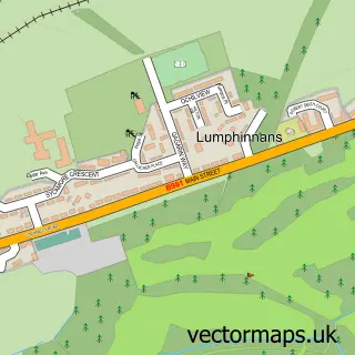
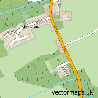
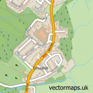
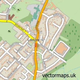
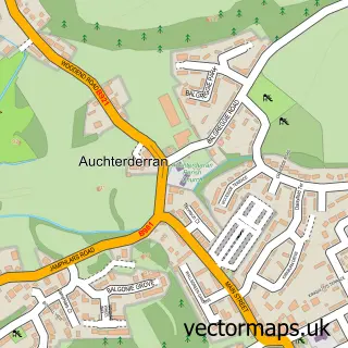
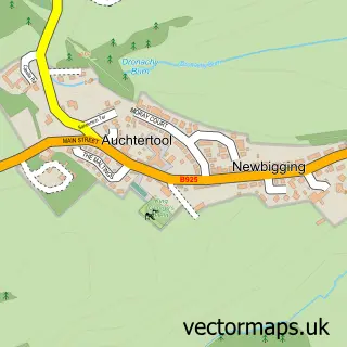
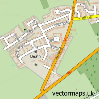
Nearby street map samples around Lochgelly

More street maps in Fife
750 metre map area coverage
Boundary, postcode and point of interest information for the 750m x 750m rectangle centred on this sample map.
Boundaries containing map centre
Constituency: Glenrothes and Mid Fife Co Const
District: Fife
Icb: Fife
Postcode District: KY5
Postcode Sector: KY5 9
Ward: Lochgelly, Cardenden and Benarty Ward
Nearby boundaries intersecting sample
No additional intersecting boundaries found.
Postcode coverage
POI category counts
Beauty Salon: 8
Hair Salon: 6
Convenience Store: 5
Atms: 4
Funeral Services And Cemeteries: 4
Pub: 4
Tattoo And Piercing: 4
Bakery: 3
Beauty And Spa: 3
Cafe: 3
Sample points of interest
- Accountancy Solutions
- Sunny Harbour
- Sunny Harbour Cat & Kitten Rescue
- The Mossview at Opera
- Morrisons Daily - Lochgelly - North Street
- NISA EXTRA (LOCK SWAP)
- OneBanks Hub - Lochgelly
- The Cooperative Food (BF) Lochgelly
- Home Shine
- Wilson Vehicle Services
- Bayne's the Family Bakers
- S M Bayne & Co
Create a larger editable map of Lochgelly
This sample shows only a 750 metre area. To create a larger map of Lochgelly, use our map builder to choose your own coverage area, add titles and download editable SVG, PDF and PNG files.
Create a custom map of Lochgelly