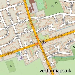
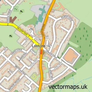
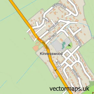
This Keltybridge street map is a detailed vector street map covering a 750m x 750m area. Select a larger area to create and download your own vector street map of Keltybridge.
The 750-metre map sample for Keltybridge covers 176 mapped buildings and approximately 12.6 km of road detail, of which 9 named roads are named. The immediate area includes 1 GP surgery within 2 miles and 2 MOT stations within 2 miles. To create a larger or custom map of Keltybridge, the map builder lets you define your own coverage area and download editable SVG, PDF and PNG files.
Create a larger editable map of Keltybridge
Choose any area you need and generate a high-quality vector map instantly. Perfect for print, planning, design, business and personal use.

This Keltybridge street map in Perth and Kinross is available as downloadable SVG, PDF and PNG map files, or as a printed map for planning, business, display, education, local information and design work. You can also create a larger custom map area using the map selector.
What this Keltybridge map sample shows
Keltybridge lies within Fife parish, part of Cowdenbeath ward in the Fife local authority area. The postcode geography for this area includes the KY postcode area, the KY4 postcode district and the KY4 0 postcode sector. Residents fall under the Fife for NHS services.
Local features near Keltybridge
Within 2 milesAmenities and services in and around Keltybridge.
Administrative and postcode information for Keltybridge
The local authority covering Keltybridge is Fife, within the county of Perth And Kinross. The settlement lies within Cowdenbeath ward and Fife civil parish. The KY4 postcode district and KY4 0 postcode sector serve the immediate area. NHS provision in the area is delivered through Fife.
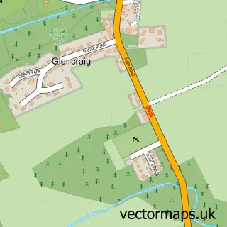
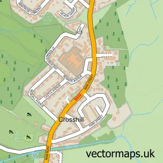
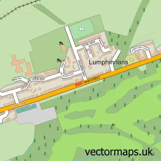
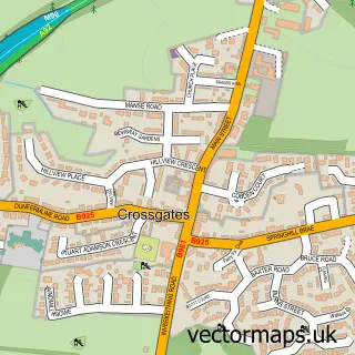
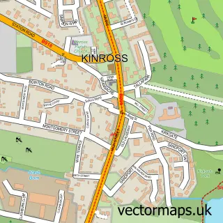
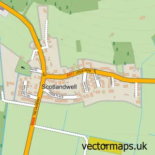
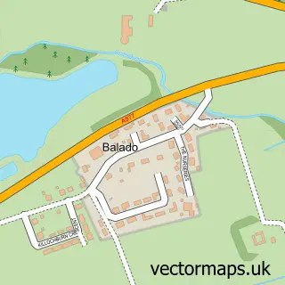
Nearby street map samples around Keltybridge

More street maps in Perth and Kinross
750 metre map area coverage
Boundary, postcode and point of interest information for the 750m x 750m rectangle centred on this sample map.
Boundaries containing map centre
Constituency: Perth and Kinross-shire Co Const
District: Perth and Kinross
Icb: Tayside
Postcode District: KY4
Postcode Sector: KY4 0
Ward: Kinross-shire Ward
Nearby boundaries intersecting sample
Constituency: Glenrothes and Mid Fife Co Const
District: Fife
Icb: Fife
Ward: Cowdenbeath Ward
Postcode coverage
POI category counts
Animal Shelter: 1
Environmental Conservation Organization: 1
Pet Groomer: 1
Pool Billiards: 1
Town Hall: 1
Sample points of interest
- Fife Cat Shelter
- Duncan Philp & Associates
- Mucky Pup
- The Gribb_inn
- Tabernacle Hall, Maryburgh
Create a larger editable map of Keltybridge
This sample shows only a 750 metre area. To create a larger map of Keltybridge, use our map builder to choose your own coverage area, add titles and download editable SVG, PDF and PNG files.
Create a custom map of Keltybridge