This Kinnesswood street map is a detailed vector street map covering a 750m x 750m area. Select a larger area to create and download your own vector street map of Kinnesswood.
The 750-metre map sample for Kinnesswood covers 250 mapped buildings and approximately 11.0 km of road detail, of which 11 named roads are named. The immediate area includes 1 pub. The wider area around Kinnesswood features 1 tourism point of interest and 1 food and drink venue. To create a larger or custom map of Kinnesswood, the map builder lets you define your own coverage area and download editable SVG, PDF and PNG files.
Create a larger editable map of Kinnesswood
Choose any area you need and generate a high-quality vector map instantly. Perfect for print, planning, design, business and personal use.

This Kinnesswood street map in Perth and Kinross is available as downloadable SVG, PDF and PNG map files, or as a printed map for planning, business, display, education, local information and design work. You can also create a larger custom map area using the map selector.
What this Kinnesswood map sample shows
Kinnesswood lies within Perth And Kinross parish, part of Kinross-Shire ward in the Perth And Kinross local authority area. The postcode geography for this area includes the KY postcode area, the KY13 postcode district and the KY13 9 postcode sector. Residents fall under the Tayside for NHS services.
Local features near Kinnesswood
Within 2 milesAmenities and services in and around Kinnesswood.
Administrative and postcode information for Kinnesswood
The local authority covering Kinnesswood is Perth And Kinross, within the county of Perth And Kinross. The settlement lies within Kinross-Shire ward and Perth And Kinross civil parish. The KY13 postcode district and KY13 9 postcode sector serve the immediate area. NHS provision in the area is delivered through Tayside.
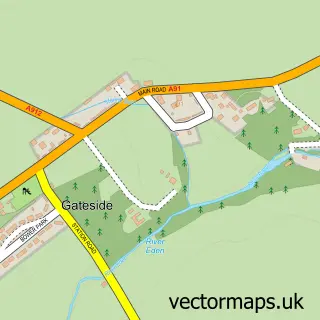
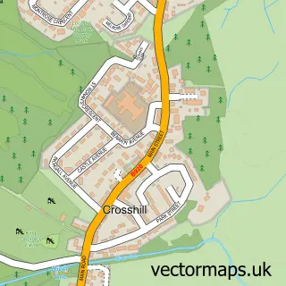
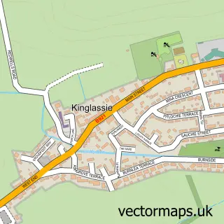
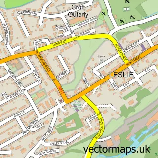
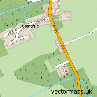
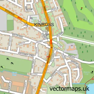
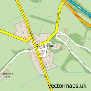
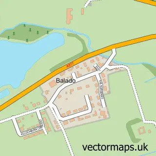
Nearby street map samples around Kinnesswood

More street maps in Perth and Kinross
750 metre map area coverage
Boundary, postcode and point of interest information for the 750m x 750m rectangle centred on this sample map.
Boundaries containing map centre
Constituency: Perth and Kinross-shire Co Const
District: Perth and Kinross
Icb: Tayside
Postcode District: KY13
Postcode Sector: KY13 9
Ward: Kinross-shire Ward
Nearby boundaries intersecting sample
No additional intersecting boundaries found.
Postcode coverage
POI category counts
Bed And Breakfast: 2
Agricultural Service: 1
Animal Hospital: 1
Architect: 1
Building Supply Store: 1
Convenience Store: 1
Elementary School: 1
Gas Station: 1
Kitchen Remodeling: 1
Landmark And Historical Building: 1
Sample points of interest
- John Drysdale Agricultural Engineer
- Barking Mad Ltd.
- Joanna Lockhart Chartered Architect
- Arisaig B&B
- Park House B & B
- Joanna Lockhart Chartered Architect
- Kinnesswood Shop
- Portmoak Primary School
- Pace
- Andrew Morren Design and Interiors
- Kilmagad Wood
- Barking Mad
Create a larger editable map of Kinnesswood
This sample shows only a 750 metre area. To create a larger map of Kinnesswood, use our map builder to choose your own coverage area, add titles and download editable SVG, PDF and PNG files.
Create a custom map of Kinnesswood