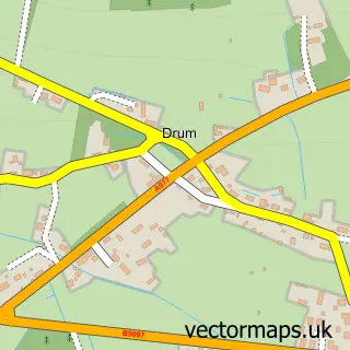
This Kinross street map is a detailed vector street map covering a 750m x 750m area. Select a larger area to create and download your own vector street map of Kinross.
The 750-metre map sample for Kinross covers 364 mapped buildings and approximately 15.0 km of road detail, of which 34 named roads are named. The immediate area includes 2 GP surgeries within 2 miles and 2 MOT stations, with 4 within 2 miles. The wider area around Kinross features 2 tourism points of interest, 5 food and drink venues and 3 hotels. To create a larger or custom map of Kinross, the map builder lets you define your own coverage area and download editable SVG, PDF and PNG files.
Create a larger editable map of Kinross
Choose any area you need and generate a high-quality vector map instantly. Perfect for print, planning, design, business and personal use.

This Kinross street map in Perth and Kinross is available as downloadable SVG, PDF and PNG map files, or as a printed map for planning, business, display, education, local information and design work. You can also create a larger custom map area using the map selector.
What this Kinross map sample shows
Kinross lies within Perth And Kinross parish, part of Kinross-Shire ward in the Perth And Kinross local authority area. The postcode geography for this area includes the KY postcode area, the KY13 postcode district and the KY13 8 postcode sector. Residents fall under the Tayside for NHS services.
Local features near Kinross
Within 2 milesAmenities and services in and around Kinross.
Administrative and postcode information for Kinross
Kinross lies within Perth And Kinross parish, part of Kinross-Shire ward in the Perth And Kinross local authority area. The postcode geography for this area includes the KY postcode area, the KY13 postcode district and the KY13 8 postcode sector. Residents fall under the Tayside for NHS services.
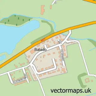
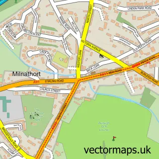
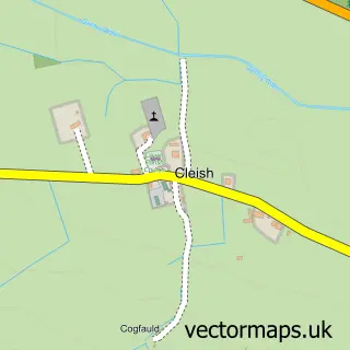
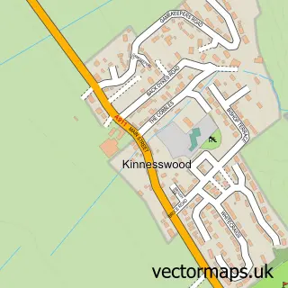
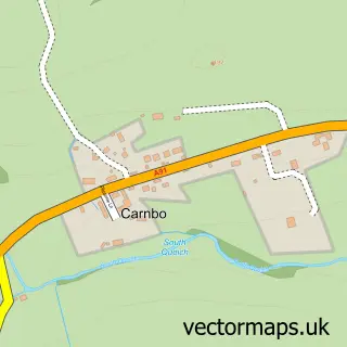
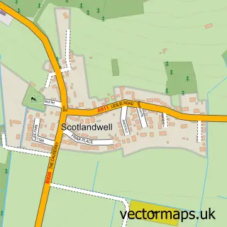
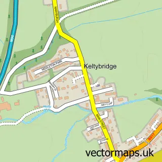
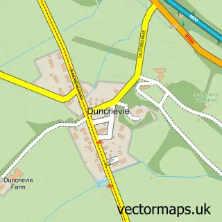
Nearby street map samples around Kinross

More street maps in Perth and Kinross
750 metre map area coverage
Boundary, postcode and point of interest information for the 750m x 750m rectangle centred on this sample map.
Boundaries containing map centre
Constituency: Perth and Kinross-shire Co Const
District: Perth and Kinross
Icb: Tayside
Postcode District: KY13
Postcode Sector: KY13 8
Ward: Kinross-shire Ward
Nearby boundaries intersecting sample
Postcode Sector: KY13 9
Postcode coverage
POI category counts
Professional Services: 6
Automotive Repair: 4
Coffee Shop: 3
Hospice: 3
Hotel: 3
Mens Clothing Store: 3
Retail: 3
Banks: 2
Beauty Salon: 2
Chinese Restaurant: 2
Sample points of interest
- Hanover
- Kinross Potager Garden
- Scottish Funeral Vehicles
- Mirror Finish Car Wash & Valeting
- Kinross Vehicle Repairs & Diagnostics
- Morton Motors
- Smith Street Motors
- Tyrefair
- S M Bayne & Co
- Community Banker Millbridge Hall
- TSB Bank
- The Sal Bistro
Create a larger editable map of Kinross
This sample shows only a 750 metre area. To create a larger map of Kinross, use our map builder to choose your own coverage area, add titles and download editable SVG, PDF and PNG files.
Create a custom map of Kinross