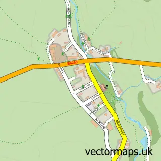
This Lofthouse street map is a detailed vector street map covering a 750m x 750m area. Select a larger area to create and download your own vector street map of Lofthouse.
The 750-metre map sample for Lofthouse covers 62 mapped buildings and approximately 10.7 km of road detail, of which 2 named roads are named. The wider area around Lofthouse features 2 tourism points of interest, 1 food and drink venue and 2 hotels. To create a larger or custom map of Lofthouse, the map builder lets you define your own coverage area and download editable SVG, PDF and PNG files.
Create a larger editable map of Lofthouse
Choose any area you need and generate a high-quality vector map instantly. Perfect for print, planning, design, business and personal use.

This Lofthouse street map in North Yorkshire is available as downloadable SVG, PDF and PNG map files, or as a printed map for planning, business, display, education, local information and design work. You can also create a larger custom map area using the map selector.
What this Lofthouse map sample shows
Lofthouse lies within Fountains Earth Cp parish, part of Pateley Bridge & Nidderdale Moors ward in the North Yorkshire local authority area. The postcode geography for this area includes the HG postcode area, the HG3 postcode district and the HG3 5 postcode sector. Residents fall under the Nhs Humber And North Yorkshire Integrated Care Board for NHS services.
Local features near Lofthouse
Within 2 milesAmenities and services in and around Lofthouse.
Administrative and postcode information for Lofthouse
The local authority covering Lofthouse is North Yorkshire, within the county of North Yorkshire. The settlement lies within Pateley Bridge & Nidderdale Moors ward and Fountains Earth Cp civil parish. The HG3 postcode district and HG3 5 postcode sector serve the immediate area. NHS provision in the area is delivered through Harrogate And District Nhs Foundation Trust.
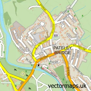
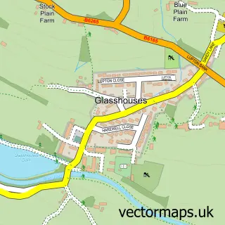
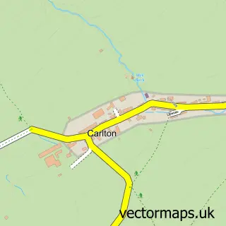
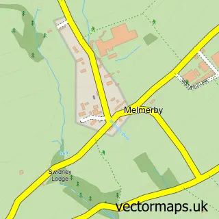
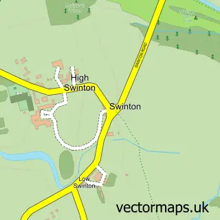
Nearby street map samples around Lofthouse

More street maps in North Yorkshire
750 metre map area coverage
Boundary, postcode and point of interest information for the 750m x 750m rectangle centred on this sample map.
Boundaries containing map centre
Constituency: Skipton and Ripon Co Const
District: North Yorkshire
Icb: NHS Humber and North Yorkshire ICB
Parish: Fountains Earth CP
Police Force: north yorkshire
Postcode District: HG3
Postcode Sector: HG3 5
Nearby boundaries intersecting sample
Parish: Stonebeck Down CP, Stonebeck Up CP
Postcode coverage
POI category counts
Campground: 2
Cottage: 2
Hotel: 2
Post Office: 2
Cafe: 1
Fire Department: 1
Holiday Rental Home: 1
Ice Cream Shop: 1
Shopping: 1
Sample points of interest
- Nidderdale Way Cafe
- Studfold Adventure Trail
- Studfold Caravan and Camping Park
- Fern Cottage Nidderdale
- Rose Cottage Holidays, Nidderdale
- Lofthouse Fire Station
- The Cowshed
- The Crown
- The Crown At Lofthouse
- Meadow Dale Ice Cream
- Lofthouse Mobile Service Post Office
- Lofthouse stop Post Office
Create a larger editable map of Lofthouse
This sample shows only a 750 metre area. To create a larger map of Lofthouse, use our map builder to choose your own coverage area, add titles and download editable SVG, PDF and PNG files.
Create a custom map of Lofthouse