This Bewerley street map is a detailed vector street map covering a 750m x 750m area. Select a larger area to create and download your own vector street map of Bewerley.
The 750-metre map sample for Bewerley covers 92 mapped buildings and approximately 9.0 km of road detail, of which 3 named roads are named. The immediate area includes 1 GP surgery within 2 miles and 1 MOT station within 2 miles. The wider area around Bewerley features 1 tourism point of interest, 1 hotel and 1 campsite within 2 miles. To create a larger or custom map of Bewerley, the map builder lets you define your own coverage area and download editable SVG, PDF and PNG files.
Create a larger editable map of Bewerley
Choose any area you need and generate a high-quality vector map instantly. Perfect for print, planning, design, business and personal use.

This Bewerley street map in North Yorkshire is available as downloadable SVG, PDF and PNG map files, or as a printed map for planning, business, display, education, local information and design work. You can also create a larger custom map area using the map selector.
What this Bewerley map sample shows
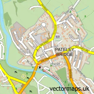
Bewerley lies within Bewerley Cp parish, part of Pateley Bridge & Nidderdale Moors ward in the North Yorkshire local authority area. The postcode geography for this area includes the HG postcode area, the HG3 postcode district and the HG3 5 postcode sector. Residents fall under the Nhs Humber And North Yorkshire Integrated Care Board for NHS services.
Local features near Bewerley
Within 2 milesAmenities and services in and around Bewerley.
Administrative and postcode information for Bewerley
Bewerley lies within Bewerley Cp parish, part of Pateley Bridge & Nidderdale Moors ward in the North Yorkshire local authority area. The postcode geography for this area includes the HG postcode area, the HG3 postcode district and the HG3 5 postcode sector. Residents fall under the Nhs Humber And North Yorkshire Integrated Care Board for NHS services.
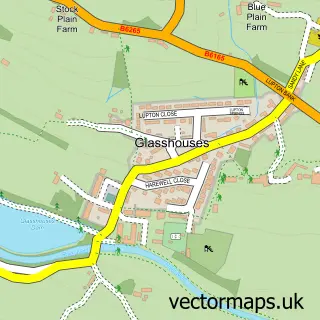
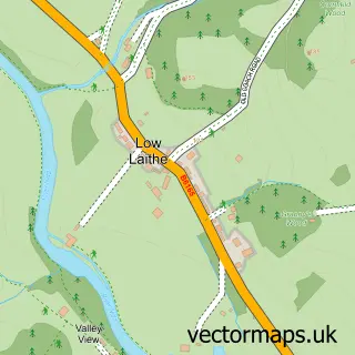
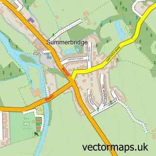
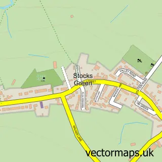
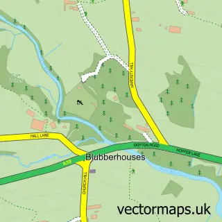
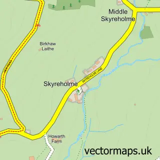
Nearby street map samples around Bewerley


More street maps in North Yorkshire
750 metre map area coverage
Boundary, postcode and point of interest information for the 750m x 750m rectangle centred on this sample map.
Boundaries containing map centre
Constituency: Skipton and Ripon Co Const
District: North Yorkshire
Icb: NHS Humber and North Yorkshire ICB
Parish: Bewerley CP
Police Force: north yorkshire
Postcode District: HG3
Postcode Sector: HG3 5
Nearby boundaries intersecting sample
Parish: High and Low Bishopside CP
Postcode coverage
POI category counts
Anglican Church: 1
Attractions And Activities: 1
Auction House: 1
Hotel: 1
Medical Center: 1
Structure And Geography: 1
Travel Services: 1
Veterinarian: 1
Sample points of interest
- Bewerley Grange Chapel
- North Yorkshire Outdoor Learning Service
- Sawley & District Farmers Auction Mart
- Bewerley Hall Holiday Cottage
- Eclipse Equine Veterinary Practice
- Fishpond Wood
- Colette Coleman at Hays Travel
- Eclipse Equine Veterinary Practice
Create a larger editable map of Bewerley
This sample shows only a 750 metre area. To create a larger map of Bewerley, use our map builder to choose your own coverage area, add titles and download editable SVG, PDF and PNG files.
Create a custom map of Bewerley