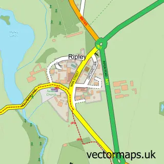
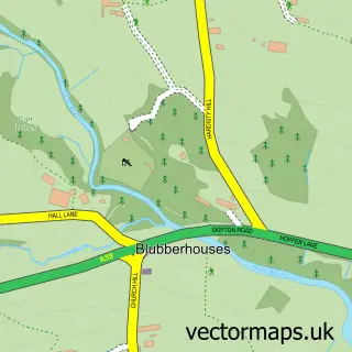
This Birstwith street map is a detailed vector street map covering a 750m x 750m area. Select a larger area to create and download your own vector street map of Birstwith.
The 750-metre map sample for Birstwith covers 77 mapped buildings and approximately 8.1 km of road detail, of which 9 named roads are named. The immediate area includes 1 school and 1 MOT station within 2 miles. The wider area around Birstwith features 1 hotel and 1 campsite within 2 miles. To create a larger or custom map of Birstwith, the map builder lets you define your own coverage area and download editable SVG, PDF and PNG files.
Create a larger editable map of Birstwith
Choose any area you need and generate a high-quality vector map instantly. Perfect for print, planning, design, business and personal use.

This Birstwith street map in North Yorkshire is available as downloadable SVG, PDF and PNG map files, or as a printed map for planning, business, display, education, local information and design work. You can also create a larger custom map area using the map selector.
What this Birstwith map sample shows
Birstwith lies within Birstwith Cp parish, part of Nidd Valley ward in the North Yorkshire local authority area. The postcode geography for this area includes the HG postcode area, the HG3 postcode district and the HG3 2 postcode sector. Residents fall under the Nhs Humber And North Yorkshire Integrated Care Board for NHS services.
Local features near Birstwith
Within 2 milesAmenities and services in and around Birstwith.
Administrative and postcode information for Birstwith
Birstwith lies within Birstwith Cp parish, part of Nidd Valley ward in the North Yorkshire local authority area. The postcode geography for this area includes the HG postcode area, the HG3 postcode district and the HG3 2 postcode sector. Residents fall under the Nhs Humber And North Yorkshire Integrated Care Board for NHS services.
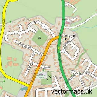
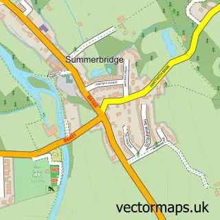
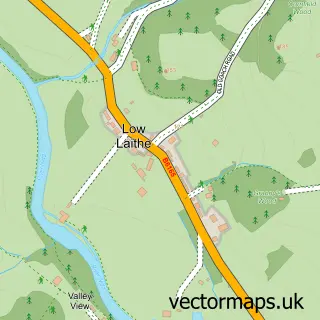
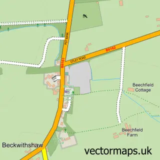
Nearby street map samples around Birstwith

More street maps in North Yorkshire
750 metre map area coverage
Boundary, postcode and point of interest information for the 750m x 750m rectangle centred on this sample map.
Boundaries containing map centre
Constituency: Skipton and Ripon Co Const
District: North Yorkshire
Icb: NHS Humber and North Yorkshire ICB
Parish: Birstwith CP
Police Force: north yorkshire
Postcode District: HG3
Postcode Sector: HG3 2
Nearby boundaries intersecting sample
Postcode Sector: HG3 3
Postcode coverage
POI category counts
Business Management Services: 2
Advertising Agency: 1
Anglican Church: 1
Auto Glass Service: 1
Church Cathedral: 1
Convenience Store: 1
Cosmetic And Beauty Supplies: 1
Elementary School: 1
Food Beverage Service Distribution: 1
Hotel: 1
Sample points of interest
- Eco York
- St James, Birstwith
- Window Wise UK Ltd.
- Birstwith Post Office
- Post Office-Birstwith
- Saint James Church
- Dale Stores
- Pure Natural Therapy
- Birstwith C of E Primary School
- Kerry Ingredients
- The Station Hotel
- Post Office
Create a larger editable map of Birstwith
This sample shows only a 750 metre area. To create a larger map of Birstwith, use our map builder to choose your own coverage area, add titles and download editable SVG, PDF and PNG files.
Create a custom map of Birstwith