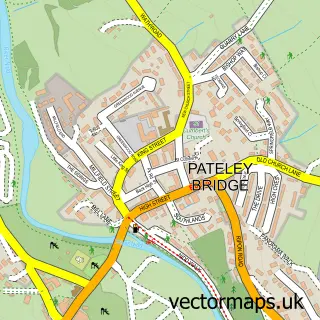
This Darley street map is a detailed vector street map covering a 750m x 750m area. Select a larger area to create and download your own vector street map of Darley.
The 750-metre map sample for Darley covers 142 mapped buildings and approximately 6.0 km of road detail, of which 10 named roads are named. The immediate area includes 1 pub and 3 MOT stations within 2 miles. The wider area around Darley features 2 food and drink venues and 1 campsite within 2 miles. To create a larger or custom map of Darley, the map builder lets you define your own coverage area and download editable SVG, PDF and PNG files.
Create a larger editable map of Darley
Choose any area you need and generate a high-quality vector map instantly. Perfect for print, planning, design, business and personal use.

This Darley street map in North Yorkshire is available as downloadable SVG, PDF and PNG map files, or as a printed map for planning, business, display, education, local information and design work. You can also create a larger custom map area using the map selector.
What this Darley map sample shows
Darley lies within Darley And Menwith Cp parish, part of Nidd Valley ward in the North Yorkshire local authority area. The postcode geography for this area includes the HG postcode area, the HG3 postcode district and the HG3 2 postcode sector. Residents fall under the Nhs Humber And North Yorkshire Integrated Care Board for NHS services.
Local features near Darley
Within 2 milesAmenities and services in and around Darley.
Administrative and postcode information for Darley
Darley lies within Darley And Menwith Cp parish, part of Nidd Valley ward in the North Yorkshire local authority area. The postcode geography for this area includes the HG postcode area, the HG3 postcode district and the HG3 2 postcode sector. Residents fall under the Nhs Humber And North Yorkshire Integrated Care Board for NHS services.
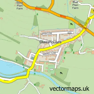
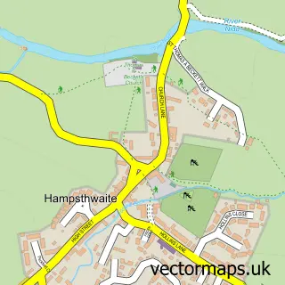
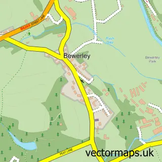
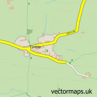
Nearby street map samples around Darley


More street maps in North Yorkshire
750 metre map area coverage
Boundary, postcode and point of interest information for the 750m x 750m rectangle centred on this sample map.
Boundaries containing map centre
Constituency: Skipton and Ripon Co Const
District: North Yorkshire
Icb: NHS Humber and North Yorkshire ICB
Parish: Darley and Menwith CP
Police Force: north yorkshire
Postcode District: HG3
Postcode Sector: HG3 2
Nearby boundaries intersecting sample
Postcode Sector: HG3 4
Postcode coverage
POI category counts
Community Center: 2
Advertising Agency: 1
Anglican Church: 1
Bicycle Shop: 1
Cafe: 1
Church Cathedral: 1
Martial Arts Club: 1
Photography Store And Services: 1
Pool Billiards: 1
Pub: 1
Sample points of interest
- Garside Tabour & Lewis
- Darley: Christ Church
- Vern Overton Cycling
- Darley Shop and Cafe
- Christ Church
- Christ Church Community Centre
- Darley Memorial Hall
- Kenshinkan Karate Academy
- Paula Beaumont Photography
- Darley Snooker Club
- Ye Olde Oak inn
- Christ Church - Darley
Create a larger editable map of Darley
This sample shows only a 750 metre area. To create a larger map of Darley, use our map builder to choose your own coverage area, add titles and download editable SVG, PDF and PNG files.
Create a custom map of Darley