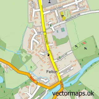
This Longhorsley street map is a detailed vector street map covering a 750m x 750m area. Select a larger area to create and download your own vector street map of Longhorsley.
The 750-metre map sample for Longhorsley covers 203 mapped buildings and approximately 11.9 km of road detail, of which 10 named roads are named. The immediate area includes 1 school, 2 pubs and 1 MOT station. The wider area around Longhorsley features 1 tourism point of interest, 2 food and drink venues and 2 hotels. To create a larger or custom map of Longhorsley, the map builder lets you define your own coverage area and download editable SVG, PDF and PNG files.
Create a larger editable map of Longhorsley
Choose any area you need and generate a high-quality vector map instantly. Perfect for print, planning, design, business and personal use.

This Longhorsley street map in Northumberland is available as downloadable SVG, PDF and PNG map files, or as a printed map for planning, business, display, education, local information and design work. You can also create a larger custom map area using the map selector.
What this Longhorsley map sample shows
Longhorsley lies within Longhorsley Cp parish, part of Longhorsley ward in the Northumberland local authority area. The postcode geography for this area includes the NE postcode area, the NE65 postcode district and the NE65 8 postcode sector. Residents fall under the Nhs North East And North Cumbria Integrated Care Board for NHS services.
Local features near Longhorsley
Within 2 milesAmenities and services in and around Longhorsley.
Administrative and postcode information for Longhorsley
Longhorsley lies within Longhorsley Cp parish, part of Longhorsley ward in the Northumberland local authority area. The postcode geography for this area includes the NE postcode area, the NE65 postcode district and the NE65 8 postcode sector. Residents fall under the Nhs North East And North Cumbria Integrated Care Board for NHS services.
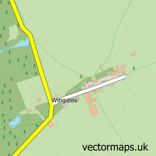
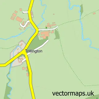
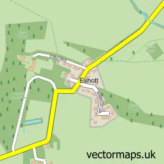
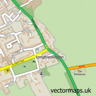
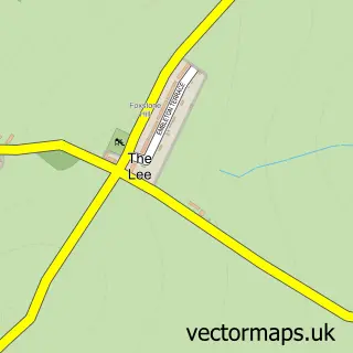
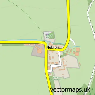
Nearby street map samples around Longhorsley

More street maps in Northumberland
750 metre map area coverage
Boundary, postcode and point of interest information for the 750m x 750m rectangle centred on this sample map.
Boundaries containing map centre
Constituency: Hexham Co Const
District: Northumberland
Icb: NHS North East and North Cumbria ICB
Parish: Longhorsley CP
Police Force: northumberland
Postcode District: NE65
Postcode Sector: NE65 8
Nearby boundaries intersecting sample
No additional intersecting boundaries found.
Postcode coverage
POI category counts
Building Supply Store: 2
Hotel: 2
Post Office: 2
Pub: 2
Advertising Agency: 1
Anglican Church: 1
Automotive Repair: 1
Contractor: 1
Convenience Store: 1
Cottage: 1
Sample points of interest
- Making U Social
- St Helen's
- Stephensons Garage
- Environmental Pest Management
- Longhorsley Landscape Services
- Northumbria Drainage Services
- Longhorsley Village Shop
- Oak Tree Cottage
- Longhorsley First School
- Northumbria Fencing
- Daint Jewellery
- Macdonald Linden Hall Hotel Morpeth
Create a larger editable map of Longhorsley
This sample shows only a 750 metre area. To create a larger map of Longhorsley, use our map builder to choose your own coverage area, add titles and download editable SVG, PDF and PNG files.
Create a custom map of Longhorsley