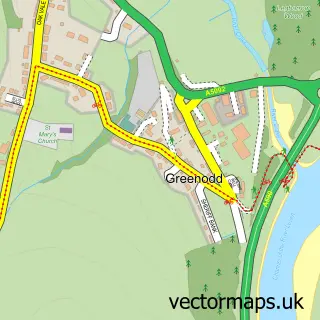
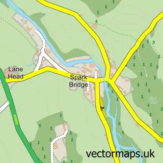
This Low Wood street map is a detailed vector street map covering a 750m x 750m area. Select a larger area to create and download your own vector street map of Low Wood.
The 750-metre map sample for Low Wood covers 51 mapped buildings and approximately 9.9 km of road detail, of which 1 named road are named. The immediate area includes 1 GP surgery within 2 miles. The wider area around Low Wood features 1 campsite within 2 miles. To create a larger or custom map of Low Wood, the map builder lets you define your own coverage area and download editable SVG, PDF and PNG files.
Create a larger editable map of Low Wood
Choose any area you need and generate a high-quality vector map instantly. Perfect for print, planning, design, business and personal use.

This Low Wood street map in Cumbria is available as downloadable SVG, PDF and PNG map files, or as a printed map for planning, business, display, education, local information and design work. You can also create a larger custom map area using the map selector.
What this Low Wood map sample shows
Low Wood lies within Haverthwaite Cp parish, part of Broughton & Coniston ward in the Westmorland And Furness local authority area. The postcode geography for this area includes the LA postcode area, the LA12 postcode district and the LA12 8 postcode sector. Residents fall under the Nhs Lancashire And South Cumbria Integrated Care Board for NHS services.
Local features near Low Wood
Within 2 milesAmenities and services in and around Low Wood.
Administrative and postcode information for Low Wood
The local authority covering Low Wood is Westmorland And Furness, within the county of Cumbria. The settlement lies within Broughton & Coniston ward and Haverthwaite Cp civil parish. The LA12 postcode district and LA12 8 postcode sector serve the immediate area. NHS provision in the area is delivered through University Hospitals Of Morecambe Bay Nhs Foundation Trust.
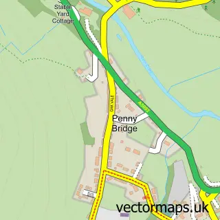
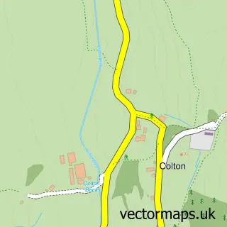
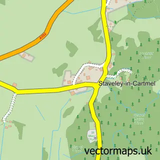
Nearby street map samples around Low Wood

More street maps in Cumbria
750 metre map area coverage
Boundary, postcode and point of interest information for the 750m x 750m rectangle centred on this sample map.
Boundaries containing map centre
Constituency: Westmorland and Lonsdale Co Const
District: Westmorland and Furness
Icb: NHS Lancashire and South Cumbria ICB
Parish: Haverthwaite CP
Police Force: cumbria
Postcode District: LA12
Postcode Sector: LA12 8
Ward: Grange and Cartmel Ward
Nearby boundaries intersecting sample
No additional intersecting boundaries found.
Postcode coverage
POI category counts
Accountant: 1
Business Manufacturing And Supply: 1
Education: 1
Gym: 1
Livestock Breeder: 1
Marketing Agency: 1
Mountain: 1
Photographer: 1
Sports Club And League: 1
Sample points of interest
- Lakes Business Services
- Blueprint Subsea
- CTC Training & Assessment
- Open Tracking
- Smali Shetland Sheep
- Artemis Media UK
- River Deep Mountain High
- Symmetry CGI
- Open Adventure
Create a larger editable map of Low Wood
This sample shows only a 750 metre area. To create a larger map of Low Wood, use our map builder to choose your own coverage area, add titles and download editable SVG, PDF and PNG files.
Create a custom map of Low Wood