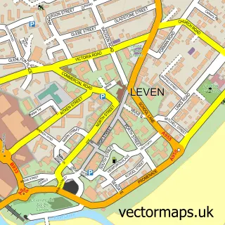
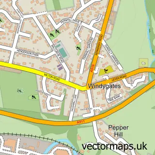
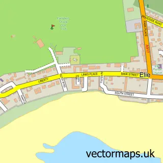
This Lundin Links street map is a detailed vector street map covering a 750m x 750m area. Select a larger area to create and download your own vector street map of Lundin Links.
The 750-metre map sample for Lundin Links covers 121 mapped buildings and approximately 8.0 km of road detail, of which 11 named roads are named. The immediate area includes 3 MOT stations within 2 miles. The wider area around Lundin Links features 1 food and drink venue, 1 hotel and 1 campsite within 2 miles. To create a larger or custom map of Lundin Links, the map builder lets you define your own coverage area and download editable SVG, PDF and PNG files.
Create a larger editable map of Lundin Links
Choose any area you need and generate a high-quality vector map instantly. Perfect for print, planning, design, business and personal use.

This Lundin Links street map in Fife is available as downloadable SVG, PDF and PNG map files, or as a printed map for planning, business, display, education, local information and design work. You can also create a larger custom map area using the map selector.
What this Lundin Links map sample shows
Lundin Links lies within Fife parish, part of Leven, Kennoway And Largo ward in the Fife local authority area. The postcode geography for this area includes the KY postcode area, the KY8 postcode district and the KY8 6 postcode sector. Residents fall under the Fife for NHS services.
Local features near Lundin Links
Within 2 milesAmenities and services in and around Lundin Links.
Administrative and postcode information for Lundin Links
Lundin Links lies within Fife parish, part of Leven, Kennoway And Largo ward in the Fife local authority area. The postcode geography for this area includes the KY postcode area, the KY8 postcode district and the KY8 6 postcode sector. Residents fall under the Fife for NHS services.
Nearby street map samples around Lundin Links

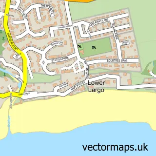
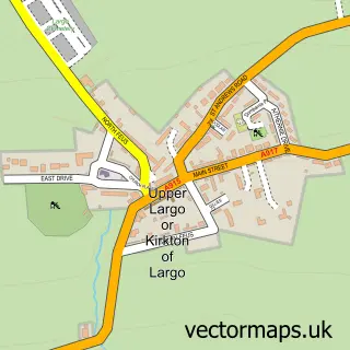
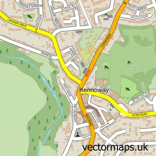
More street maps in Fife
750 metre map area coverage
Boundary, postcode and point of interest information for the 750m x 750m rectangle centred on this sample map.
Boundaries containing map centre
Constituency: North East Fife Co Const
District: Fife
Icb: Fife
Postcode District: KY8
Postcode Sector: KY8 6
Ward: Leven, Kennoway and Largo Ward
Nearby boundaries intersecting sample
Postcode Sector: KY8 5
Postcode coverage
POI category counts
Butcher Shop: 4
Golf Course: 3
Sports Club And League: 3
Flowers And Gifts Shop: 2
Sports And Recreation Venue: 2
Auto Upholstery: 1
Bank Credit Union: 1
Beach: 1
Coffee Shop: 1
Community Center: 1
Sample points of interest
- The Finishing Touch
- RBS
- Lundin Links Beach
- Bob's The Butchers
- Bobs Butchers
- R T Stuart Ltd
- R.T Stuart
- Lundin Coffee Co.
- Homelands - The Paxton Centre
- Montrave Hall
- Royal Bank of Scotland
- Jane's at Nineteen
Create a larger editable map of Lundin Links
This sample shows only a 750 metre area. To create a larger map of Lundin Links, use our map builder to choose your own coverage area, add titles and download editable SVG, PDF and PNG files.
Create a custom map of Lundin Links