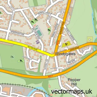
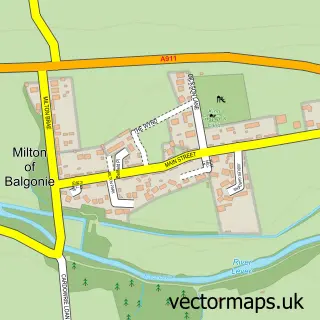
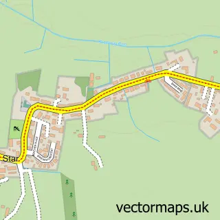
This Methil street map is a detailed vector street map covering a 750m x 750m area. Select a larger area to create and download your own vector street map of Methil.
The 750-metre map sample for Methil covers 382 mapped buildings and approximately 19.0 km of road detail, of which 32 named roads are named. The immediate area includes 3 GP surgeries within 2 miles, 3 pubs and 1 MOT station, with 11 within 2 miles. The wider area around Methil features 2 tourism points of interest, 5 food and drink venues and 1 hotel. To create a larger or custom map of Methil, the map builder lets you define your own coverage area and download editable SVG, PDF and PNG files.
Create a larger editable map of Methil
Choose any area you need and generate a high-quality vector map instantly. Perfect for print, planning, design, business and personal use.

This Methil street map in Fife is available as downloadable SVG, PDF and PNG map files, or as a printed map for planning, business, display, education, local information and design work. You can also create a larger custom map area using the map selector.
What this Methil map sample shows
Methil lies within Fife parish, part of Buckhaven, Methil And Wemyss Villages ward in the Fife local authority area. The postcode geography for this area includes the KY postcode area, the KY8 postcode district and the KY8 3 postcode sector. Residents fall under the Fife for NHS services.
Local features near Methil
Within 2 milesAmenities and services in and around Methil.
Administrative and postcode information for Methil
The local authority covering Methil is Fife, within the county of Fife. The settlement lies within Buckhaven, Methil And Wemyss Villages ward and Fife civil parish. The KY8 postcode district and KY8 3 postcode sector serve the immediate area. NHS provision in the area is delivered through Fife.
Nearby street map samples around Methil

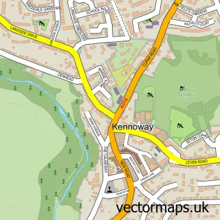
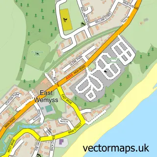
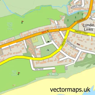
More street maps in Fife
750 metre map area coverage
Boundary, postcode and point of interest information for the 750m x 750m rectangle centred on this sample map.
Boundaries containing map centre
Constituency: Glenrothes and Mid Fife Co Const
District: Fife
Icb: Fife
Postcode District: KY8
Postcode Sector: KY8 3
Ward: Buckhaven, Methil and Wemyss Villages Ward
Nearby boundaries intersecting sample
No additional intersecting boundaries found.
Postcode coverage
POI category counts
Beauty Salon: 6
Beauty And Spa: 4
Atms: 3
Barber: 3
Building Supply Store: 3
Convenience Store: 3
Gym: 3
Pub: 3
Bar: 2
Charity Organization: 2
Sample points of interest
- Rosslyn Fine Arts & Affordable Arts
- Morrisons Daily - Methil - Wellesley Road
- PREMIER ONE STOP LTD (Mirren)
- PayPoint
- Methil Brae Motors
- East Dock Bar & Restaurant
- Empire Bar
- Barney's Barbershop
- Kellys kutz
- Miss Barbers
- Bank Boutique
- Indigo Aesthetics
Create a larger editable map of Methil
This sample shows only a 750 metre area. To create a larger map of Methil, use our map builder to choose your own coverage area, add titles and download editable SVG, PDF and PNG files.
Create a custom map of Methil