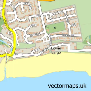
This Kennoway street map is a detailed vector street map covering a 750m x 750m area. Select a larger area to create and download your own vector street map of Kennoway.
The 750-metre map sample for Kennoway covers 170 mapped buildings and approximately 13.5 km of road detail, of which 25 named roads are named. The immediate area includes 1 GP surgery, 1 pub and 1 MOT station, with 3 within 2 miles. The wider area around Kennoway features 2 tourism points of interest and 2 food and drink venues. To create a larger or custom map of Kennoway, the map builder lets you define your own coverage area and download editable SVG, PDF and PNG files.
Create a larger editable map of Kennoway
Choose any area you need and generate a high-quality vector map instantly. Perfect for print, planning, design, business and personal use.

This Kennoway street map in Fife is available as downloadable SVG, PDF and PNG map files, or as a printed map for planning, business, display, education, local information and design work. You can also create a larger custom map area using the map selector.
What this Kennoway map sample shows
Kennoway lies within Fife parish, part of Leven, Kennoway And Largo ward in the Fife local authority area. The postcode geography for this area includes the KY postcode area, the KY8 postcode district and the KY8 5 postcode sector. Residents fall under the Fife for NHS services.
Local features near Kennoway
Within 2 milesAmenities and services in and around Kennoway.
Administrative and postcode information for Kennoway
Kennoway lies within Fife parish, part of Leven, Kennoway And Largo ward in the Fife local authority area. The postcode geography for this area includes the KY postcode area, the KY8 postcode district and the KY8 5 postcode sector. Residents fall under the Fife for NHS services.
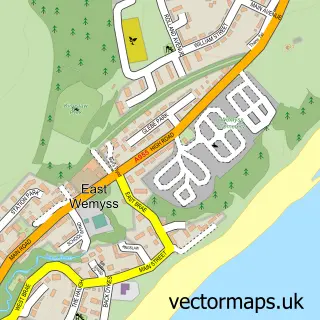
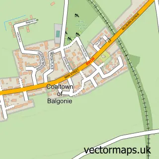
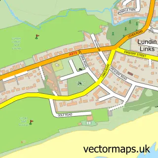
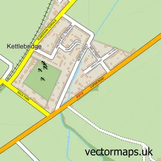
Nearby street map samples around Kennoway
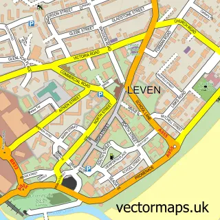

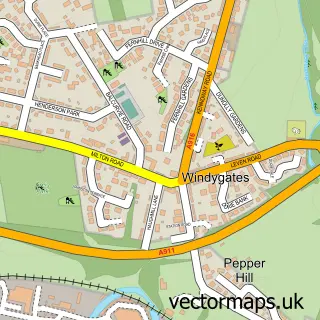
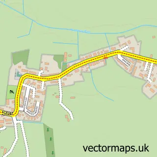
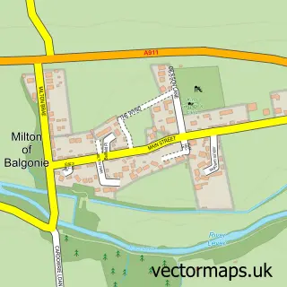
More street maps in Fife
750 metre map area coverage
Boundary, postcode and point of interest information for the 750m x 750m rectangle centred on this sample map.
Boundaries containing map centre
Constituency: North East Fife Co Const
District: Fife
Icb: Fife
Postcode District: KY8
Postcode Sector: KY8 5
Ward: Leven, Kennoway and Largo Ward
Nearby boundaries intersecting sample
No additional intersecting boundaries found.
Postcode coverage
POI category counts
Convenience Store: 3
Atms: 2
Bar: 2
Doctor: 2
Park: 2
Pharmacy: 2
Bakery: 1
Barber: 1
Beauty Salon: 1
Beverage Store: 1
Sample points of interest
- PayPoint
- The Cooperative Food Kennoway - Bishops Court (ERF), Kennoway
- Lilybank Bakery
- Kennoway Legion Pool Hall
- The Swan Hotel
- The Barbers - Kennoway
- Beauty & The Beach Kennoway
- Sunbeam Inn
- Abbey Developments Fife
- St Kenneth's Parish Church
- Dickson's Delights
- HiF Kitchens
Create a larger editable map of Kennoway
This sample shows only a 750 metre area. To create a larger map of Kennoway, use our map builder to choose your own coverage area, add titles and download editable SVG, PDF and PNG files.
Create a custom map of Kennoway