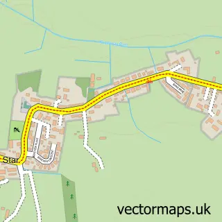
This East Wemyss street map is a detailed vector street map covering a 750m x 750m area. Select a larger area to create and download your own vector street map of East Wemyss.
The 750-metre map sample for East Wemyss covers 194 mapped buildings and approximately 12.1 km of road detail, of which 19 named roads are named. The immediate area includes 1 GP surgery within 2 miles and 1 MOT station, with 3 within 2 miles. The wider area around East Wemyss features 2 tourism points of interest and 2 hotels. To create a larger or custom map of East Wemyss, the map builder lets you define your own coverage area and download editable SVG, PDF and PNG files.
Create a larger editable map of East Wemyss
Choose any area you need and generate a high-quality vector map instantly. Perfect for print, planning, design, business and personal use.

This East Wemyss street map in Fife is available as downloadable SVG, PDF and PNG map files, or as a printed map for planning, business, display, education, local information and design work. You can also create a larger custom map area using the map selector.
What this East Wemyss map sample shows
East Wemyss lies within Fife parish, part of Buckhaven, Methil And Wemyss Villages ward in the Fife local authority area. The postcode geography for this area includes the KY postcode area, the KY1 postcode district and the KY1 4 postcode sector. Residents fall under the Fife for NHS services.
Local features near East Wemyss
Within 2 milesAmenities and services in and around East Wemyss.
Administrative and postcode information for East Wemyss
The local authority covering East Wemyss is Fife, within the county of Fife. The settlement lies within Buckhaven, Methil And Wemyss Villages ward and Fife civil parish. The KY1 postcode district and KY1 4 postcode sector serve the immediate area. NHS provision in the area is delivered through Fife.
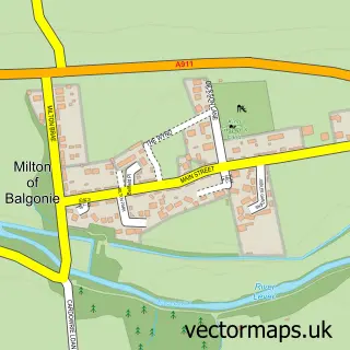
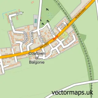
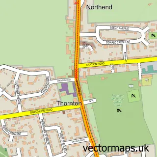
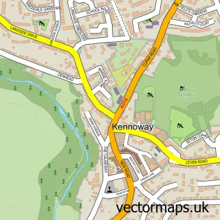
Nearby street map samples around East Wemyss
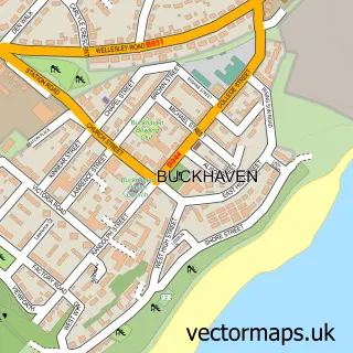

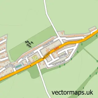
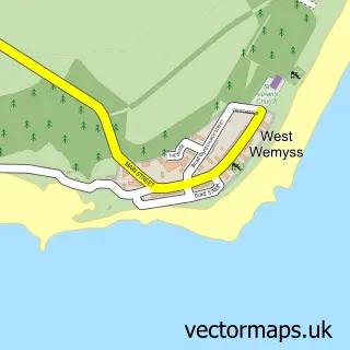
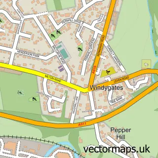
More street maps in Fife
750 metre map area coverage
Boundary, postcode and point of interest information for the 750m x 750m rectangle centred on this sample map.
Boundaries containing map centre
Constituency: Glenrothes and Mid Fife Co Const
District: Fife
Icb: Fife
Postcode District: KY1
Postcode Sector: KY1 4
Ward: Buckhaven, Methil and Wemyss Villages Ward
Nearby boundaries intersecting sample
No additional intersecting boundaries found.
Postcode coverage
POI category counts
Hotel: 2
Automotive Repair: 1
Bathroom Remodeling: 1
Building Supply Store: 1
Car Dealer: 1
Carpet Cleaning: 1
Castle: 1
Cave: 1
Church Cathedral: 1
Convenience Store: 1
Sample points of interest
- Wemyss Autos Fife
- Nononsensebathrooms
- A Plumber in Fife
- Alistair Buchan Ltd
- 1Click Carpet Cleaning
- MacDuff Castle
- Wemyss Ancient Caves and Cave Drawings
- New Hope Fellowship
- Premier McDuff Corner Shop
- East Wemyss Primary School
- Mcduff Corner Shop
- Fix My Garage Doors
Create a larger editable map of East Wemyss
This sample shows only a 750 metre area. To create a larger map of East Wemyss, use our map builder to choose your own coverage area, add titles and download editable SVG, PDF and PNG files.
Create a custom map of East Wemyss