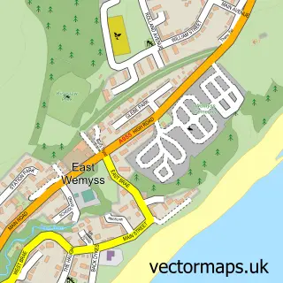
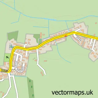
This Buckhaven street map is a detailed vector street map covering a 750m x 750m area. Select a larger area to create and download your own vector street map of Buckhaven.
The 750-metre map sample for Buckhaven covers 360 mapped buildings and approximately 14.2 km of road detail, of which 30 named roads are named. The immediate area includes 2 GP surgeries within 2 miles, 2 pubs and 7 MOT stations within 2 miles. The wider area around Buckhaven features 1 tourism point of interest and 3 food and drink venues. To create a larger or custom map of Buckhaven, the map builder lets you define your own coverage area and download editable SVG, PDF and PNG files.
Create a larger editable map of Buckhaven
Choose any area you need and generate a high-quality vector map instantly. Perfect for print, planning, design, business and personal use.

This Buckhaven street map in Fife is available as downloadable SVG, PDF and PNG map files, or as a printed map for planning, business, display, education, local information and design work. You can also create a larger custom map area using the map selector.
What this Buckhaven map sample shows
Buckhaven lies within Fife parish, part of Buckhaven, Methil And Wemyss Villages ward in the Fife local authority area. The postcode geography for this area includes the KY postcode area, the KY8 postcode district and the KY8 1 postcode sector. Residents fall under the Fife for NHS services.
Local features near Buckhaven
Within 2 milesAmenities and services in and around Buckhaven.
Administrative and postcode information for Buckhaven
Buckhaven lies within Fife parish, part of Buckhaven, Methil And Wemyss Villages ward in the Fife local authority area. The postcode geography for this area includes the KY postcode area, the KY8 postcode district and the KY8 1 postcode sector. Residents fall under the Fife for NHS services.
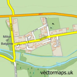
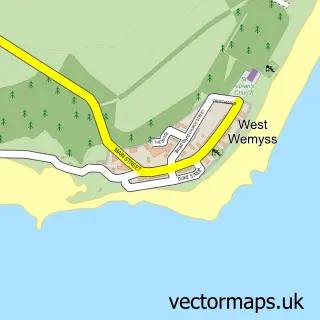
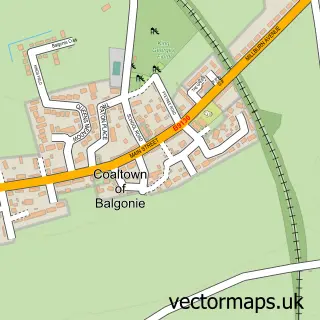
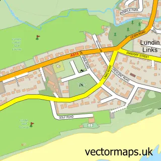
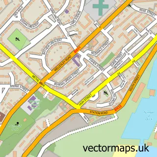
Nearby street map samples around Buckhaven

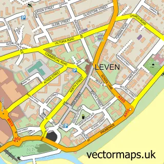
More street maps in Fife
750 metre map area coverage
Boundary, postcode and point of interest information for the 750m x 750m rectangle centred on this sample map.
Boundaries containing map centre
Constituency: Glenrothes and Mid Fife Co Const
District: Fife
Icb: Fife
Postcode District: KY8
Postcode Sector: KY8 1
Ward: Buckhaven, Methil and Wemyss Villages Ward
Nearby boundaries intersecting sample
Postcode Sector: KY8 3
Postcode coverage
POI category counts
Automotive Repair: 3
Beauty Salon: 2
Building Supply Store: 2
Charity Organization: 2
Convenience Store: 2
Fish And Chips Restaurant: 2
Furniture Store: 2
Pub: 2
Tanning Salon: 2
Automotive Parts And Accessories: 1
Sample points of interest
- Mr Mechanic
- Doby's Tyre & Autocare
- Paint-tech Accident Repair Centre
- Streetcred Repairs & Servicing
- Hometown Treats
- Millar's Bar
- J Scott Hair
- Fringes
- Jathro's Barbershop
- Drain Doctor Plumbing
- TLC Tree Surgery
- The Kitchen
Create a larger editable map of Buckhaven
This sample shows only a 750 metre area. To create a larger map of Buckhaven, use our map builder to choose your own coverage area, add titles and download editable SVG, PDF and PNG files.
Create a custom map of Buckhaven