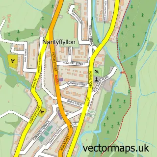
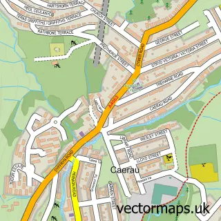
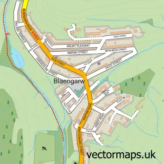
This Maesteg street map is a detailed vector street map covering a 750m x 750m area. Select a larger area to create and download your own vector street map of Maesteg.
The 750-metre map sample for Maesteg covers 345 mapped buildings and approximately 17.8 km of road detail, of which 42 named roads are named. The immediate area includes 2 schools, 1 railway station, 9 pubs and 2 MOT stations, with 4 within 2 miles. The wider area around Maesteg features 18 food and drink venues and 1 hotel. To create a larger or custom map of Maesteg, the map builder lets you define your own coverage area and download editable SVG, PDF and PNG files.
Create a larger editable map of Maesteg
Choose any area you need and generate a high-quality vector map instantly. Perfect for print, planning, design, business and personal use.

This Maesteg street map in Mid Glamorgan is available as downloadable SVG, PDF and PNG map files, or as a printed map for planning, business, display, education, local information and design work. You can also create a larger custom map area using the map selector.
What this Maesteg map sample shows
Maesteg lies within Maesteg Community parish, part of Maesteg East ward in the Pen-Y-Bont Ar Ogwr - Bridgend local authority area. The postcode geography for this area includes the CF postcode area, the CF34 postcode district and the CF34 9 postcode sector. Residents fall under the Swansea Bay University Local Health Board for NHS services.
Local features near Maesteg
Within 2 milesAmenities and services in and around Maesteg.
Administrative and postcode information for Maesteg
Maesteg lies within Maesteg Community parish, part of Maesteg East ward in the Pen-Y-Bont Ar Ogwr - Bridgend local authority area. The postcode geography for this area includes the CF postcode area, the CF34 postcode district and the CF34 9 postcode sector. Residents fall under the Swansea Bay University Local Health Board for NHS services.
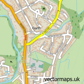
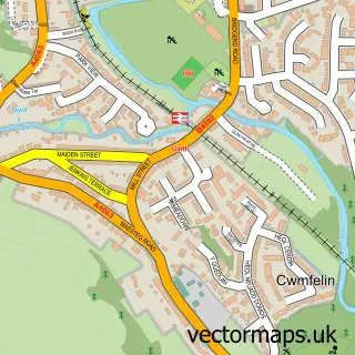
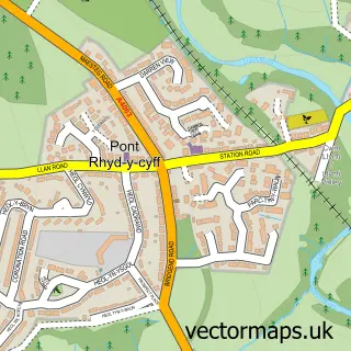
Nearby street map samples around Maesteg

More street maps in Mid Glamorgan
750 metre map area coverage
Boundary, postcode and point of interest information for the 750m x 750m rectangle centred on this sample map.
Boundaries containing map centre
Constituency: Aberafan Maesteg Co Const
District: Pen-y-bont ar Ogwr - Bridgend
Icb: Abertawe Bro Morgannwg University
Parish: Maesteg Community
Police Force: south wales
Postcode District: CF34
Postcode Sector: CF34 9
Nearby boundaries intersecting sample
Postcode Sector: CF34 0
Postcode coverage
POI category counts
Beauty Salon: 14
Beauty And Spa: 13
Hair Salon: 10
Pub: 9
Charity Organization: 8
Bakery: 5
Bar: 5
Barber: 5
Cafe: 4
Church Cathedral: 4
Sample points of interest
- M I Morris Co. Ltd.
- St Michael and All Angels Church
- The Lane Antiques and Records
- Valley Framing
- Happy Wok
- Asda Maesteg
- Santander
- G T Motors
- A.C Autowerks
- Fairfield Garage
- PM Autos Fairfield Garage
- Repair I T
Create a larger editable map of Maesteg
This sample shows only a 750 metre area. To create a larger map of Maesteg, use our map builder to choose your own coverage area, add titles and download editable SVG, PDF and PNG files.
Create a custom map of Maesteg