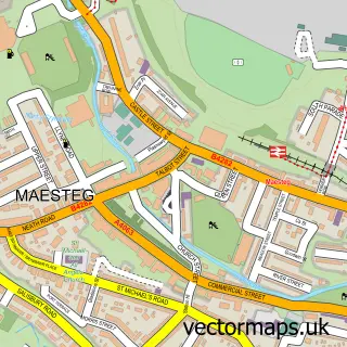
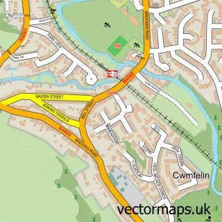
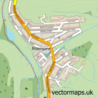
This Nantyffyllon street map is a detailed vector street map covering a 750m x 750m area. Select a larger area to create and download your own vector street map of Nantyffyllon.
The 750-metre map sample for Nantyffyllon covers 286 mapped buildings and approximately 11.7 km of road detail, of which 23 named roads are named. The immediate area includes 1 school, 1 pub and 5 MOT stations within 2 miles. The wider area around Nantyffyllon features 3 tourism points of interest and 3 food and drink venues. To create a larger or custom map of Nantyffyllon, the map builder lets you define your own coverage area and download editable SVG, PDF and PNG files.
Create a larger editable map of Nantyffyllon
Choose any area you need and generate a high-quality vector map instantly. Perfect for print, planning, design, business and personal use.

This Nantyffyllon street map in Mid Glamorgan is available as downloadable SVG, PDF and PNG map files, or as a printed map for planning, business, display, education, local information and design work. You can also create a larger custom map area using the map selector.
What this Nantyffyllon map sample shows
Nantyffyllon lies within Maesteg Community parish, part of Caerau ward in the Pen-Y-Bont Ar Ogwr - Bridgend local authority area. The postcode geography for this area includes the CF postcode area, the CF34 postcode district and the CF34 0 postcode sector. Residents fall under the Swansea Bay University Local Health Board for NHS services.
Local features near Nantyffyllon
Within 2 milesAmenities and services in and around Nantyffyllon.
Administrative and postcode information for Nantyffyllon
The local authority covering Nantyffyllon is Pen-Y-Bont Ar Ogwr - Bridgend, within the county of Mid Glamorgan. The settlement lies within Caerau ward and Maesteg Community civil parish. The CF34 postcode district and CF34 0 postcode sector serve the immediate area. NHS provision in the area is delivered through Cwm Taf Morgannwg University Health Board.
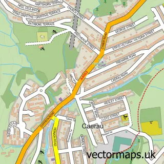
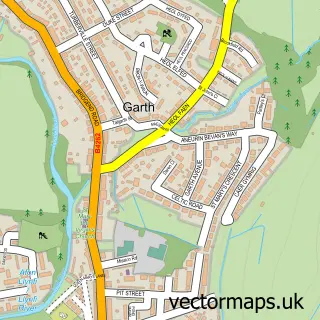
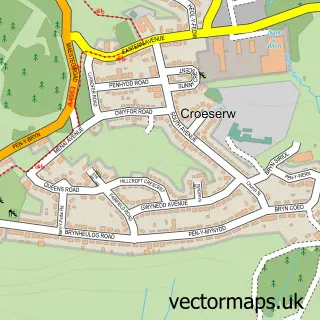
Nearby street map samples around Nantyffyllon

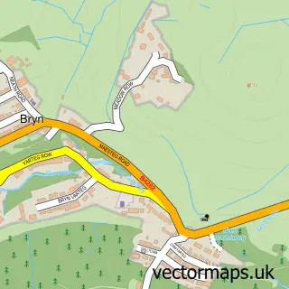
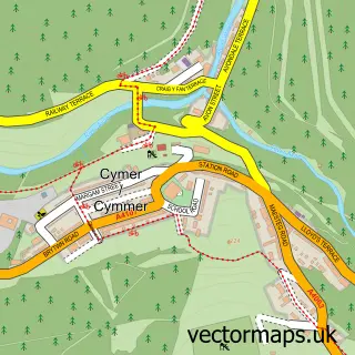
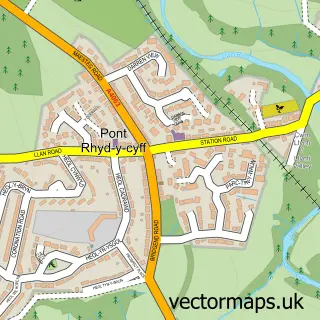
More street maps in Mid Glamorgan
750 metre map area coverage
Boundary, postcode and point of interest information for the 750m x 750m rectangle centred on this sample map.
Boundaries containing map centre
Constituency: Aberafan Maesteg Co Const
District: Pen-y-bont ar Ogwr - Bridgend
Icb: Abertawe Bro Morgannwg University
Parish: Maesteg Community
Police Force: south wales
Postcode District: CF34
Postcode Sector: CF34 0
Nearby boundaries intersecting sample
No additional intersecting boundaries found.
Postcode coverage
POI category counts
Convenience Store: 2
Landmark And Historical Building: 2
Pet Groomer: 2
Arts And Crafts: 1
Atms: 1
Attractions And Activities: 1
Automotive Repair: 1
Beauty Salon: 1
Books Mags Music And Video: 1
Cafe: 1
Sample points of interest
- Florrie's Craft Shop
- PayPoint
- Twmpath Allotments
- Phoenix Motor Factors
- Ceri Salon
- Post Office-Nantyffyllon
- Nanty Cafe
- Billys Gym & Wellness Centre CIC
- Family Shopper
- Premier Picton Stores
- Nantyffyllon Surgery
- A1 plastering
Create a larger editable map of Nantyffyllon
This sample shows only a 750 metre area. To create a larger map of Nantyffyllon, use our map builder to choose your own coverage area, add titles and download editable SVG, PDF and PNG files.
Create a custom map of Nantyffyllon