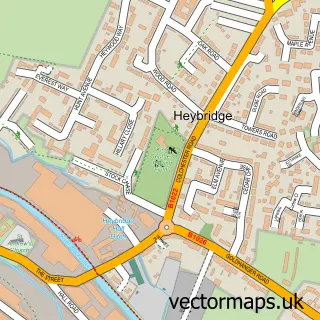
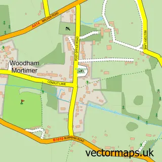
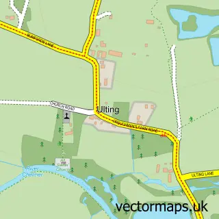
This Maldon street map is a detailed vector street map covering a 750m x 750m area. Select a larger area to create and download your own vector street map of Maldon.
The 750-metre map sample for Maldon covers 434 mapped buildings and approximately 15.1 km of road detail, of which 37 named roads are named. The immediate area includes 1 primary school and 1 secondary school, 2 GP surgeries, 7 pubs and 8 MOT stations within 2 miles. The wider area around Maldon features 6 tourism points of interest, 26 food and drink venues and 4 hotels. To create a larger or custom map of Maldon, the map builder lets you define your own coverage area and download editable SVG, PDF and PNG files.
Create a larger editable map of Maldon
Choose any area you need and generate a high-quality vector map instantly. Perfect for print, planning, design, business and personal use.

This Maldon street map in Essex is available as downloadable SVG, PDF and PNG map files, or as a printed map for planning, business, display, education, local information and design work. You can also create a larger custom map area using the map selector.
What this Maldon map sample shows
Maldon lies within Maldon Cp parish, part of Maldon North ward in the Maldon District (B) local authority area. The postcode geography for this area includes the CM postcode area, the CM9 postcode district and the CM9 5 postcode sector. Residents fall under the Nhs Mid And South Essex Integrated Care Board for NHS services.
Local features near Maldon
Within 2 milesAmenities and services in and around Maldon.
Administrative and postcode information for Maldon
The local authority covering Maldon is Maldon District (B), within the county of Essex. The settlement lies within Maldon North ward and Maldon Cp civil parish. The CM9 postcode district and CM9 5 postcode sector serve the immediate area. NHS provision in the area is delivered through Mid And South Essex Nhs Foundation Trust.
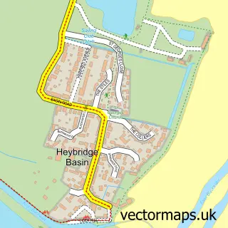
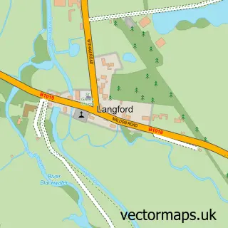
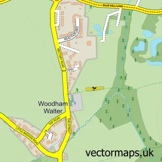
Nearby street map samples around Maldon

More street maps in Essex
750 metre map area coverage
Boundary, postcode and point of interest information for the 750m x 750m rectangle centred on this sample map.
Boundaries containing map centre
Constituency: Maldon Co Const
County: Essex County
District: Maldon District (B)
Icb: NHS Essex ICB
Parish: Maldon CP
Police Force: essex
Postcode District: CM9
Postcode Sector: CM9 5
Ward: Maldon North Ward
Nearby boundaries intersecting sample
Postcode Sector: CM9 4, CM9 6
Ward: Maldon East Ward
Postcode coverage
POI category counts
Hair Salon: 26
Beauty Salon: 16
Clothing Store: 14
Professional Services: 14
Real Estate Agent: 14
Flowers And Gifts Shop: 12
Barber: 10
Church Cathedral: 9
Charity Organization: 8
Coffee Shop: 7
Sample points of interest
- Cashflow Manager UK Ltd
- Gladwell Bookkeeping
- Granite Morgan Smith
- Lambert Chapman LLP
- Maynard Heady LLP
- Up In Lights Dance Academy
- Maldon Acupuncture
- Adult Community Learning Maldon
- East Essex Adult Community College
- Blue Tiger Marketing
- Blue Tiger Marketing
- Maldon Process Management
Create a larger editable map of Maldon
This sample shows only a 750 metre area. To create a larger map of Maldon, use our map builder to choose your own coverage area, add titles and download editable SVG, PDF and PNG files.
Create a custom map of Maldon