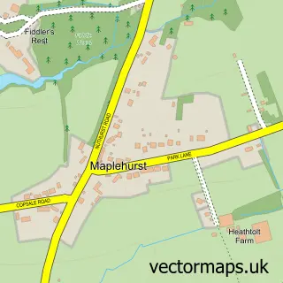
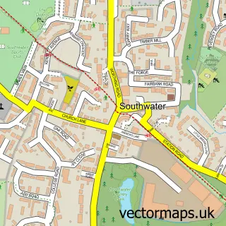
This Mannings Heath street map is a detailed vector street map covering a 750m x 750m area. Select a larger area to create and download your own vector street map of Mannings Heath.
The 750-metre map sample for Mannings Heath covers 369 mapped buildings and approximately 11.3 km of road detail, of which 20 named roads are named. The immediate area includes 3 MOT stations within 2 miles. To create a larger or custom map of Mannings Heath, the map builder lets you define your own coverage area and download editable SVG, PDF and PNG files.
Create a larger editable map of Mannings Heath
Choose any area you need and generate a high-quality vector map instantly. Perfect for print, planning, design, business and personal use.

This Mannings Heath street map in West Sussex is available as downloadable SVG, PDF and PNG map files, or as a printed map for planning, business, display, education, local information and design work. You can also create a larger custom map area using the map selector.
What this Mannings Heath map sample shows
Mannings Heath lies within Nuthurst Cp parish, part of Nuthurst & Lower Beeding ward in the Horsham District local authority area. The postcode geography for this area includes the RH postcode area, the RH13 postcode district and the RH13 6 postcode sector. Residents fall under the Nhs Sussex Integrated Care Board for NHS services.
Local features near Mannings Heath
Within 2 milesAmenities and services in and around Mannings Heath.
Administrative and postcode information for Mannings Heath
Mannings Heath lies within Nuthurst Cp parish, part of Nuthurst & Lower Beeding ward in the Horsham District local authority area. The postcode geography for this area includes the RH postcode area, the RH13 postcode district and the RH13 6 postcode sector. Residents fall under the Nhs Sussex Integrated Care Board for NHS services.
Nearby street map samples around Mannings Heath
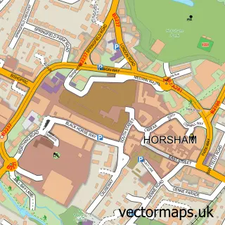

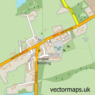
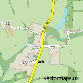
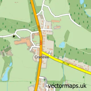
More street maps in West Sussex
750 metre map area coverage
Boundary, postcode and point of interest information for the 750m x 750m rectangle centred on this sample map.
Boundaries containing map centre
Constituency: Horsham Co Const
County: West Sussex County
District: Horsham District
Icb: NHS Surrey and Sussex ICB
Parish: Nuthurst CP
Police Force: sussex
Postcode District: RH13
Postcode Sector: RH13 6
Ward: Nuthurst & Lower Beeding Ward
Nearby boundaries intersecting sample
No additional intersecting boundaries found.
Postcode coverage
POI category counts
It Service And Computer Repair: 2
Professional Services: 2
Anglican Church: 1
Charity Organization: 1
Community Center: 1
Dance School: 1
Doctor: 1
Driving School: 1
Electrician: 1
Employment Agencies: 1
Sample points of interest
- Church of the Good Shepherd
- Parkinson's UK Horsham
- Mannings Heath Village Hall
- Red Academy
- Mrs Cole Jennifer
- Great Driver
- Dickson Electrical
- Sterling Bridge
- Anna's Mobile Hairdressing
- E X E
- Interact Software
- GTE Garden Services
Create a larger editable map of Mannings Heath
This sample shows only a 750 metre area. To create a larger map of Mannings Heath, use our map builder to choose your own coverage area, add titles and download editable SVG, PDF and PNG files.
Create a custom map of Mannings Heath