This Southwater street map is a detailed vector street map covering a 750m x 750m area. Select a larger area to create and download your own vector street map of Southwater.
The 750-metre map sample for Southwater covers 364 mapped buildings and approximately 14.4 km of road detail, of which 27 named roads are named. The immediate area includes 1 GP surgery, 4 pubs and 2 MOT stations within 2 miles. The wider area around Southwater features 1 tourism point of interest, 4 food and drink venues and 1 hotel. To create a larger or custom map of Southwater, the map builder lets you define your own coverage area and download editable SVG, PDF and PNG files.
Create a larger editable map of Southwater
Choose any area you need and generate a high-quality vector map instantly. Perfect for print, planning, design, business and personal use.

This Southwater street map in West Sussex is available as downloadable SVG, PDF and PNG map files, or as a printed map for planning, business, display, education, local information and design work. You can also create a larger custom map area using the map selector.
What this Southwater map sample shows
Southwater lies within Southwater Cp parish, part of Southwater South & Shipley ward in the Horsham District local authority area. The postcode geography for this area includes the RH postcode area, the RH13 postcode district and the RH13 9 postcode sector. Residents fall under the Nhs Sussex Integrated Care Board for NHS services.
Local features near Southwater
Within 2 milesAmenities and services in and around Southwater.
Administrative and postcode information for Southwater
Southwater lies within Southwater Cp parish, part of Southwater South & Shipley ward in the Horsham District local authority area. The postcode geography for this area includes the RH postcode area, the RH13 postcode district and the RH13 9 postcode sector. Residents fall under the Nhs Sussex Integrated Care Board for NHS services.
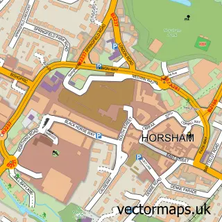
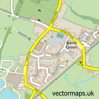
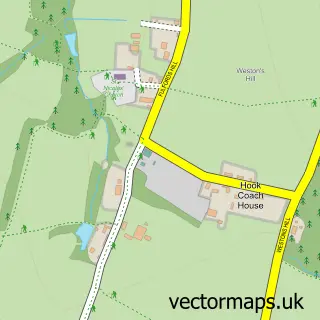
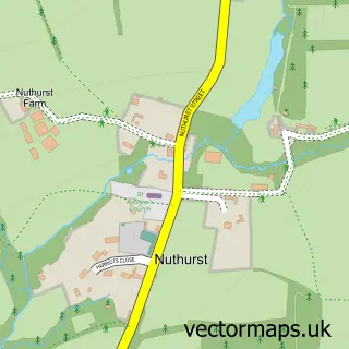
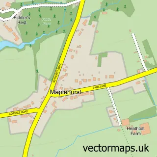
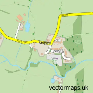
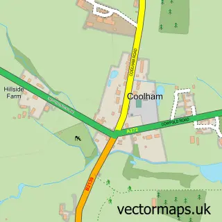
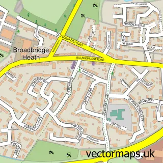
Nearby street map samples around Southwater


More street maps in West Sussex
750 metre map area coverage
Boundary, postcode and point of interest information for the 750m x 750m rectangle centred on this sample map.
Boundaries containing map centre
Constituency: Horsham Co Const
County: West Sussex County
District: Horsham District
Icb: NHS Surrey and Sussex ICB
Parish: Southwater CP
Police Force: sussex
Postcode District: RH13
Postcode Sector: RH13 9
Ward: Southwater South & Shipley Ward
Nearby boundaries intersecting sample
Ward: Southwater North Ward
Postcode coverage
POI category counts
Convenience Store: 4
Doctor: 4
Pub: 4
Real Estate Agent: 4
Beauty Salon: 3
Post Office: 3
Professional Services: 3
Barber: 2
Business: 2
Dentist: 2
Sample points of interest
- Shepherd Accountants
- Southwater FC
- Pets Homes and Gardens - Southwater and Crawley
- Grange Domestic Services
- Indigo Mole
- The Cooperative Food Southwater, Shopping Centre
- South Downs Link - Southwater
- CBS Electrical Contractors
- LGM Insurance Services LLP
- IBM Uk
- NatWest
- NatWest
Create a larger editable map of Southwater
This sample shows only a 750 metre area. To create a larger map of Southwater, use our map builder to choose your own coverage area, add titles and download editable SVG, PDF and PNG files.
Create a custom map of Southwater