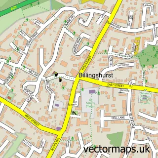
This Barns Green street map is a detailed vector street map covering a 750m x 750m area. Select a larger area to create and download your own vector street map of Barns Green.
The 750-metre map sample for Barns Green covers 218 mapped buildings and approximately 12.2 km of road detail, of which 17 named roads are named. The immediate area includes 1 school, 1 GP surgery within 2 miles, 1 pub and 3 MOT stations within 2 miles. The wider area around Barns Green features 2 tourism points of interest, 2 food and drink venues and 1 campsite within 2 miles. To create a larger or custom map of Barns Green, the map builder lets you define your own coverage area and download editable SVG, PDF and PNG files.
Create a larger editable map of Barns Green
Choose any area you need and generate a high-quality vector map instantly. Perfect for print, planning, design, business and personal use.

This Barns Green street map in West Sussex is available as downloadable SVG, PDF and PNG map files, or as a printed map for planning, business, display, education, local information and design work. You can also create a larger custom map area using the map selector.
What this Barns Green map sample shows
Barns Green lies within Itchingfield Cp parish, part of Itchingfield, Slinfold & Warnham ward in the Horsham District local authority area. The postcode geography for this area includes the RH postcode area, the RH13 postcode district and the RH13 0 postcode sector. Residents fall under the Nhs Sussex Integrated Care Board for NHS services.
Local features near Barns Green
Within 2 milesAmenities and services in and around Barns Green.
Administrative and postcode information for Barns Green
Barns Green lies within Itchingfield Cp parish, part of Itchingfield, Slinfold & Warnham ward in the Horsham District local authority area. The postcode geography for this area includes the RH postcode area, the RH13 postcode district and the RH13 0 postcode sector. Residents fall under the Nhs Sussex Integrated Care Board for NHS services.
Nearby street map samples around Barns Green


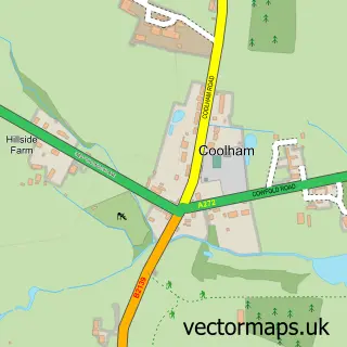
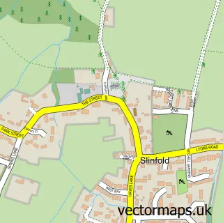
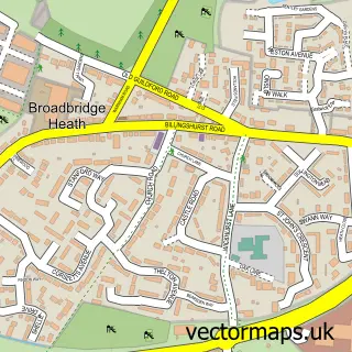
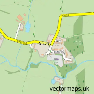
More street maps in West Sussex
750 metre map area coverage
Boundary, postcode and point of interest information for the 750m x 750m rectangle centred on this sample map.
Boundaries containing map centre
Constituency: Horsham Co Const
County: West Sussex County
District: Horsham District
Icb: NHS Surrey and Sussex ICB
Parish: Itchingfield CP
Police Force: sussex
Postcode District: RH13
Postcode Sector: RH13 0
Ward: Itchingfield, Slinfold & Warnham Ward
Nearby boundaries intersecting sample
No additional intersecting boundaries found.
Postcode coverage
POI category counts
Convenience Store: 3
Post Office: 3
Professional Services: 3
Photography Store And Services: 2
Sports Club And League: 2
Active Life: 1
Acupuncture: 1
Alternative Medicine: 1
Audiovisual Equipment Rental: 1
Bar: 1
Sample points of interest
- Run Barns Green
- Horsham Acupuncture
- Kelly Zilz Complementary Therapist
- Audiologica Ltd.
- Cafe on the Lake
- Lavien Aesthetics Beauty & Skin Care
- The Cafe by the Lake
- Sumners Ponds
- RLHA Group - Farm Close
- Complete Facility Solutions Ltd.
- Barns Green Village Hall
- ME Building Solutions
Create a larger editable map of Barns Green
This sample shows only a 750 metre area. To create a larger map of Barns Green, use our map builder to choose your own coverage area, add titles and download editable SVG, PDF and PNG files.
Create a custom map of Barns Green