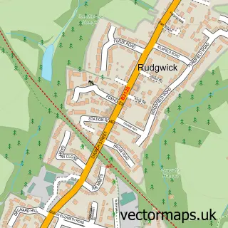
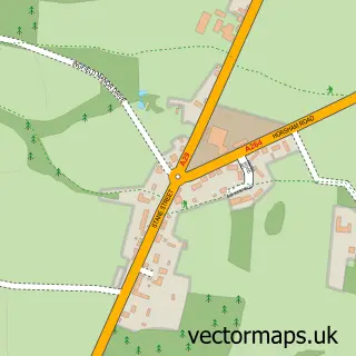
This Slinfold street map is a detailed vector street map covering a 750m x 750m area. Select a larger area to create and download your own vector street map of Slinfold.
The 750-metre map sample for Slinfold covers 180 mapped buildings and approximately 7.9 km of road detail, of which 16 named roads are named. The immediate area includes 1 school, 2 pubs and 6 MOT stations within 2 miles. The wider area around Slinfold features 2 food and drink venues. To create a larger or custom map of Slinfold, the map builder lets you define your own coverage area and download editable SVG, PDF and PNG files.
Create a larger editable map of Slinfold
Choose any area you need and generate a high-quality vector map instantly. Perfect for print, planning, design, business and personal use.

This Slinfold street map in West Sussex is available as downloadable SVG, PDF and PNG map files, or as a printed map for planning, business, display, education, local information and design work. You can also create a larger custom map area using the map selector.
What this Slinfold map sample shows
Slinfold lies within Slinfold Cp parish, part of Itchingfield, Slinfold & Warnham ward in the Horsham District local authority area. The postcode geography for this area includes the RH postcode area, the RH13 postcode district and the RH13 0 postcode sector. Residents fall under the Nhs Sussex Integrated Care Board for NHS services.
Local features near Slinfold
Within 2 milesAmenities and services in and around Slinfold.
Administrative and postcode information for Slinfold
Slinfold lies within Slinfold Cp parish, part of Itchingfield, Slinfold & Warnham ward in the Horsham District local authority area. The postcode geography for this area includes the RH postcode area, the RH13 postcode district and the RH13 0 postcode sector. Residents fall under the Nhs Sussex Integrated Care Board for NHS services.
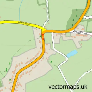
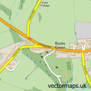
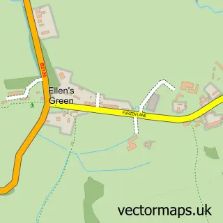
Nearby street map samples around Slinfold


More street maps in West Sussex
750 metre map area coverage
Boundary, postcode and point of interest information for the 750m x 750m rectangle centred on this sample map.
Boundaries containing map centre
Constituency: Horsham Co Const
County: West Sussex County
District: Horsham District
Icb: NHS Surrey and Sussex ICB
Parish: Slinfold CP
Police Force: sussex
Postcode District: RH13
Postcode Sector: RH13 0
Ward: Itchingfield, Slinfold & Warnham Ward
Nearby boundaries intersecting sample
No additional intersecting boundaries found.
Postcode coverage
POI category counts
Church Cathedral: 2
Post Office: 2
Professional Services: 2
Pub: 2
Advertising Agency: 1
Atms: 1
Bakery: 1
Community Center: 1
Convenience Store: 1
Courier And Delivery Services: 1
Sample points of interest
- Joystars
- PayPoint
- Icing on the Cake
- St Nicolas C of E Church
- St Peter's Church
- Slinfold Village Hall
- Slinfold Stores
- Evri ParcelShop
- Slinfold C of E Primary School
- Giltinan and Kennedy
- Alfresco Art
- Brain Injury Rehabilitation Trust
Create a larger editable map of Slinfold
This sample shows only a 750 metre area. To create a larger map of Slinfold, use our map builder to choose your own coverage area, add titles and download editable SVG, PDF and PNG files.
Create a custom map of Slinfold