This Broadbridge Heath street map is a detailed vector street map covering a 750m x 750m area. Select a larger area to create and download your own vector street map of Broadbridge Heath.
The 750-metre map sample for Broadbridge Heath covers 471 mapped buildings and approximately 17.2 km of road detail, of which 32 named roads are named. The immediate area includes 1 school, 4 GP surgeries within 2 miles, 1 pub and 3 MOT stations, with 13 within 2 miles. The wider area around Broadbridge Heath features 3 food and drink venues. To create a larger or custom map of Broadbridge Heath, the map builder lets you define your own coverage area and download editable SVG, PDF and PNG files.
Create a larger editable map of Broadbridge Heath
Choose any area you need and generate a high-quality vector map instantly. Perfect for print, planning, design, business and personal use.

This Broadbridge Heath street map in West Sussex is available as downloadable SVG, PDF and PNG map files, or as a printed map for planning, business, display, education, local information and design work. You can also create a larger custom map area using the map selector.
What this Broadbridge Heath map sample shows
Broadbridge Heath lies within Broadbridge Heath Cp parish, part of Broadbridge Heath ward in the Horsham District local authority area. The postcode geography for this area includes the RH postcode area, the RH12 postcode district and the RH12 3 postcode sector. Residents fall under the Nhs Sussex Integrated Care Board for NHS services.
Local features near Broadbridge Heath
Within 2 milesAmenities and services in and around Broadbridge Heath.
Administrative and postcode information for Broadbridge Heath
The local authority covering Broadbridge Heath is Horsham District, within the county of West Sussex. The settlement lies within Broadbridge Heath ward and Broadbridge Heath Cp civil parish. The RH12 postcode district and RH12 3 postcode sector serve the immediate area. NHS provision in the area is delivered through Surrey And Sussex Healthcare Nhs Trust.
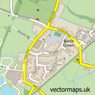
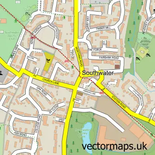
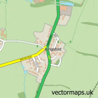
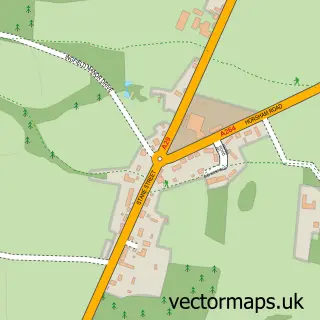
Nearby street map samples around Broadbridge Heath
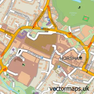


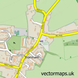
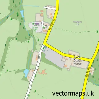
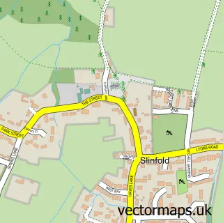
More street maps in West Sussex
750 metre map area coverage
Boundary, postcode and point of interest information for the 750m x 750m rectangle centred on this sample map.
Boundaries containing map centre
Constituency: Horsham Co Const
County: West Sussex County
District: Horsham District
Icb: NHS Surrey and Sussex ICB
Parish: Broadbridge Heath CP
Police Force: sussex
Postcode District: RH12
Postcode Sector: RH12 3
Ward: Broadbridge Heath Ward
Nearby boundaries intersecting sample
Parish: Warnham CP
Ward: Itchingfield, Slinfold & Warnham Ward
Postcode coverage
POI category counts
Building Supply Store: 5
Home Goods Store: 4
Automotive Repair: 3
Beauty Salon: 3
Driving School: 3
Alternative Medicine: 2
Anglican Church: 2
Auto Parts And Supply Store: 2
Baby Gear And Furniture: 2
Car Dealer: 2
Sample points of interest
- Broadbridge Heath Village Centre, Horsham, Sussex!
- Avis Wilson
- The Therapy Hub
- St John's Broadbridge Heath
- St John's Church
- Mr Tank Aquatic & Garden Services
- Just School Discos
- Horsham
- Motor Parts Direct
- In Car Ice
- Halfords Autocentres
- Autoweld
Create a larger editable map of Broadbridge Heath
This sample shows only a 750 metre area. To create a larger map of Broadbridge Heath, use our map builder to choose your own coverage area, add titles and download editable SVG, PDF and PNG files.
Create a custom map of Broadbridge Heath