This Warnham street map is a detailed vector street map covering a 750m x 750m area. Select a larger area to create and download your own vector street map of Warnham.
The 750-metre map sample for Warnham covers 165 mapped buildings and approximately 9.2 km of road detail, of which 15 named roads are named. The immediate area includes 1 school, 1 GP surgery within 2 miles, 1 pub and 9 MOT stations within 2 miles. The wider area around Warnham features 1 food and drink venue. To create a larger or custom map of Warnham, the map builder lets you define your own coverage area and download editable SVG, PDF and PNG files.
Create a larger editable map of Warnham
Choose any area you need and generate a high-quality vector map instantly. Perfect for print, planning, design, business and personal use.

This Warnham street map in West Sussex is available as downloadable SVG, PDF and PNG map files, or as a printed map for planning, business, display, education, local information and design work. You can also create a larger custom map area using the map selector.
What this Warnham map sample shows
Warnham lies within Warnham Cp parish, part of Itchingfield, Slinfold & Warnham ward in the Horsham District local authority area. The postcode geography for this area includes the RH postcode area, the RH12 postcode district and the RH12 3 postcode sector. Residents fall under the Nhs Sussex Integrated Care Board for NHS services.
Local features near Warnham
Within 2 milesAmenities and services in and around Warnham.
Administrative and postcode information for Warnham
Warnham lies within Warnham Cp parish, part of Itchingfield, Slinfold & Warnham ward in the Horsham District local authority area. The postcode geography for this area includes the RH postcode area, the RH12 postcode district and the RH12 3 postcode sector. Residents fall under the Nhs Sussex Integrated Care Board for NHS services.
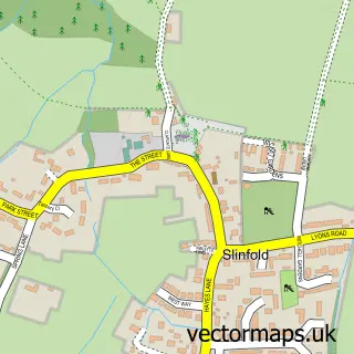
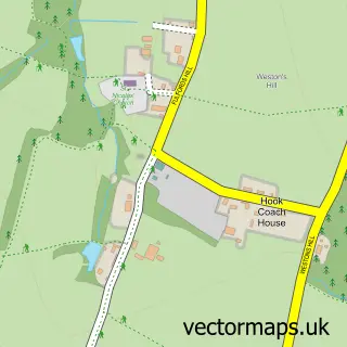
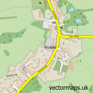
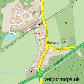
Nearby street map samples around Warnham


More street maps in West Sussex
750 metre map area coverage
Boundary, postcode and point of interest information for the 750m x 750m rectangle centred on this sample map.
Boundaries containing map centre
Constituency: Horsham Co Const
County: West Sussex County
District: Horsham District
Icb: NHS Surrey and Sussex ICB
Parish: Warnham CP
Police Force: sussex
Postcode District: RH12
Postcode Sector: RH12 3
Ward: Itchingfield, Slinfold & Warnham Ward
Nearby boundaries intersecting sample
No additional intersecting boundaries found.
Postcode coverage
POI category counts
Butcher Shop: 3
Gym: 2
Life Coach: 2
Active Life: 1
Anglican Church: 1
Aromatherapy: 1
Beauty And Spa: 1
Beauty Salon: 1
Bed And Breakfast: 1
Building Supply Store: 1
Sample points of interest
- Bubbles Swim School
- St Margaret's Church, Warnham
- Aroma Massage By Claire
- Practically Magic Skin
- The Beauty Loft
- Glebe End
- Lambs Plumbing
- A & R Bailey's
- Bailey's of Warnham
- Baileys Butchery & Delicatessen
- Weald Chiropractic & Wellness
- Warnham St Margaret's
Create a larger editable map of Warnham
This sample shows only a 750 metre area. To create a larger map of Warnham, use our map builder to choose your own coverage area, add titles and download editable SVG, PDF and PNG files.
Create a custom map of Warnham