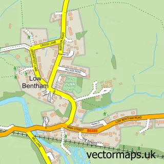
This Melling street map is a detailed vector street map covering a 750m x 750m area. Select a larger area to create and download your own vector street map of Melling.
The 750-metre map sample for Melling covers 100 mapped buildings and approximately 7.8 km of road detail, of which 4 named roads are named. The immediate area includes 1 school and 1 MOT station. The wider area around Melling features 1 hotel. To create a larger or custom map of Melling, the map builder lets you define your own coverage area and download editable SVG, PDF and PNG files.
Create a larger editable map of Melling
Choose any area you need and generate a high-quality vector map instantly. Perfect for print, planning, design, business and personal use.

This Melling street map in Lancashire is available as downloadable SVG, PDF and PNG map files, or as a printed map for planning, business, display, education, local information and design work. You can also create a larger custom map area using the map selector.
What this Melling map sample shows
Melling lies within Melling-With-Wrayton Cp parish, part of Upper Lune Valley ward in the Lancaster District (B) local authority area. The postcode geography for this area includes the LA postcode area, the LA6 postcode district and the LA6 2 postcode sector. Residents fall under the Nhs Lancashire And South Cumbria Integrated Care Board for NHS services.
Local features near Melling
Within 2 milesAmenities and services in and around Melling.
Administrative and postcode information for Melling
The local authority covering Melling is Lancaster District (B), within the county of Lancashire. The settlement lies within Upper Lune Valley ward and Melling-With-Wrayton Cp civil parish. The LA6 postcode district and LA6 2 postcode sector serve the immediate area. NHS provision in the area is delivered through University Hospitals Of Morecambe Bay Nhs Foundation Trust.
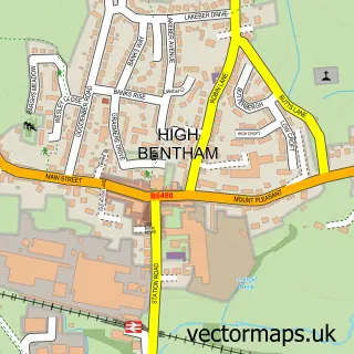
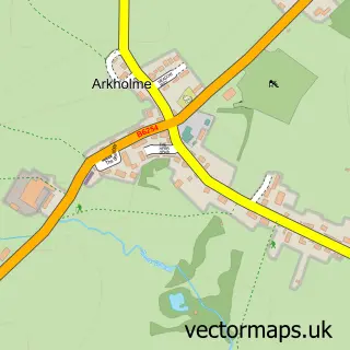
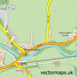
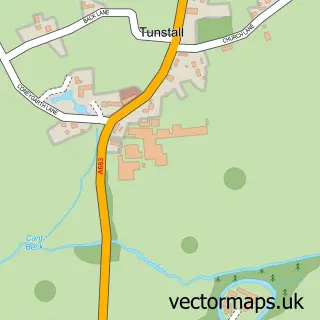
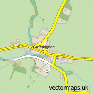
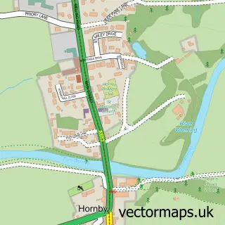
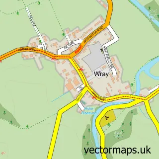
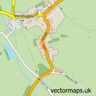
Nearby street map samples around Melling

More street maps in Lancashire
750 metre map area coverage
Boundary, postcode and point of interest information for the 750m x 750m rectangle centred on this sample map.
Boundaries containing map centre
Constituency: Morecambe and Lunesdale Co Const
County: Lancashire County
District: Lancaster District (B)
Icb: NHS Lancashire and South Cumbria ICB
Parish: Melling-with-Wrayton CP
Police Force: lancashire
Postcode District: LA6
Postcode Sector: LA6 2
Ward: Upper Lune Valley Ward
Nearby boundaries intersecting sample
Parish: Arkholme-with-Cawood CP
Postcode Sector: LA6 1
Ward: Halton-with-Aughton & Kellet Ward
Postcode coverage
POI category counts
Accountant: 1
Anglican Church: 1
Bed And Breakfast: 1
Bridal Shop: 1
Butcher Shop: 1
Cultural Center: 1
Elementary School: 1
Event Planning: 1
Financial Advising: 1
Gas Station: 1
Sample points of interest
- Murray & Co., Certified Accountants
- St Wilfrid's Church
- The Homestead
- Very Vintage Bridal
- Cornvale Fine Foods
- Green Close Studios Ltd.
- Melling St Wilfrid Church of England Primary School
- Melling Institute
- R P Frost
- F E Mountain & Son
- Melling Hall Hotel
- B4RN - Broadband for the Rural North Ltd
Create a larger editable map of Melling
This sample shows only a 750 metre area. To create a larger map of Melling, use our map builder to choose your own coverage area, add titles and download editable SVG, PDF and PNG files.
Create a custom map of Melling