This Wray street map is a detailed vector street map covering a 750m x 750m area. Select a larger area to create and download your own vector street map of Wray.
The 750-metre map sample for Wray covers 124 mapped buildings and approximately 12.3 km of road detail, of which 9 named roads are named. The immediate area includes 1 school and 2 pubs. The wider area around Wray features 3 food and drink venues and 1 hotel. To create a larger or custom map of Wray, the map builder lets you define your own coverage area and download editable SVG, PDF and PNG files.
Create a larger editable map of Wray
Choose any area you need and generate a high-quality vector map instantly. Perfect for print, planning, design, business and personal use.

This Wray street map in Lancashire is available as downloadable SVG, PDF and PNG map files, or as a printed map for planning, business, display, education, local information and design work. You can also create a larger custom map area using the map selector.
What this Wray map sample shows
Wray lies within Wray-With-Botton Cp parish, part of Lower Lune Valley ward in the Lancaster District (B) local authority area. The postcode geography for this area includes the LA postcode area, the LA2 postcode district and the LA2 8 postcode sector. Residents fall under the Nhs Lancashire And South Cumbria Integrated Care Board for NHS services.
Local features near Wray
Within 2 milesAmenities and services in and around Wray.
Administrative and postcode information for Wray
The local authority covering Wray is Lancaster District (B), within the county of Lancashire. The settlement lies within Lower Lune Valley ward and Wray-With-Botton Cp civil parish. The LA2 postcode district and LA2 8 postcode sector serve the immediate area. NHS provision in the area is delivered through University Hospitals Of Morecambe Bay Nhs Foundation Trust.
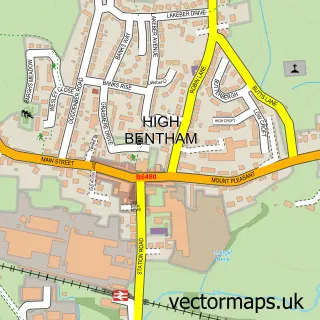
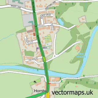
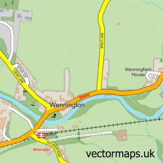
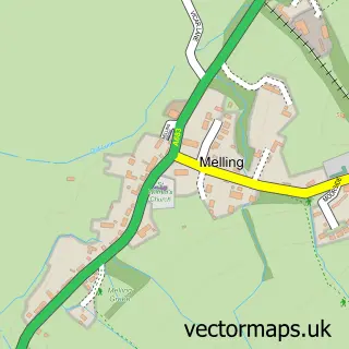
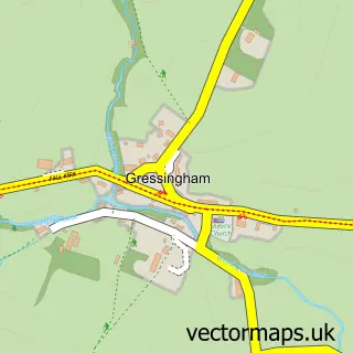
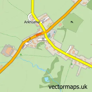
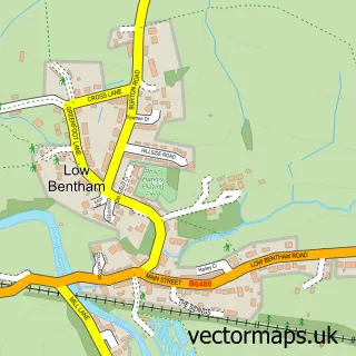
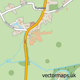
Nearby street map samples around Wray

More street maps in Lancashire
750 metre map area coverage
Boundary, postcode and point of interest information for the 750m x 750m rectangle centred on this sample map.
Boundaries containing map centre
Constituency: Morecambe and Lunesdale Co Const
County: Lancashire County
District: Lancaster District (B)
Icb: NHS Lancashire and South Cumbria ICB
Parish: Wray-with-Botton CP
Police Force: lancashire
Postcode District: LA2
Postcode Sector: LA2 8
Ward: Lower Lune Valley Ward
Nearby boundaries intersecting sample
Parish: Tatham CP
Postcode coverage
POI category counts
Church Cathedral: 2
Pub: 2
Tea Room: 2
Audiologist: 1
Coffee Shop: 1
Community Center: 1
Convenience Store: 1
Elementary School: 1
Interior Design: 1
International Business And Trade Services: 1
Sample points of interest
- Heavenly Hearing Ltd
- Holy Trinity Church
- Wray Chapel
- Bridge House Tea Rooms
- Wray Institute
- SPAR Slee Galgate
- Wray with Botton Endowed Primary School
- Completehouse
- Completehouse
- Greenfoot Garden Centre
- Wray Post Office
- Wray Pre-School and Forest School
Create a larger editable map of Wray
This sample shows only a 750 metre area. To create a larger map of Wray, use our map builder to choose your own coverage area, add titles and download editable SVG, PDF and PNG files.
Create a custom map of Wray