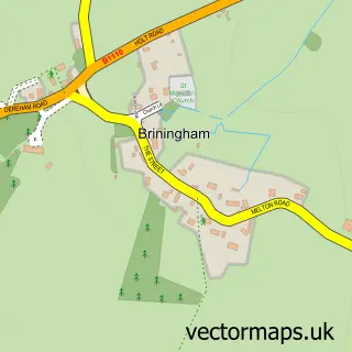
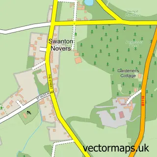
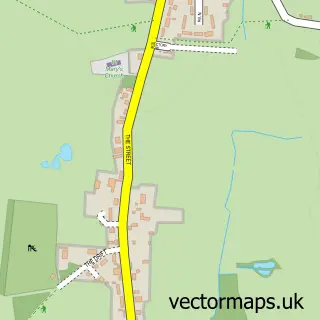
This Melton Constable street map is a detailed vector street map covering a 750m x 750m area. Select a larger area to create and download your own vector street map of Melton Constable.
The 750-metre map sample for Melton Constable covers 150 mapped buildings and approximately 10.8 km of road detail, of which 15 named roads are named. The immediate area includes 1 MOT station within 2 miles. The wider area around Melton Constable features 1 food and drink venue. To create a larger or custom map of Melton Constable, the map builder lets you define your own coverage area and download editable SVG, PDF and PNG files.
Create a larger editable map of Melton Constable
Choose any area you need and generate a high-quality vector map instantly. Perfect for print, planning, design, business and personal use.

This Melton Constable street map in Norfolk is available as downloadable SVG, PDF and PNG map files, or as a printed map for planning, business, display, education, local information and design work. You can also create a larger custom map area using the map selector.
What this Melton Constable map sample shows
Melton Constable lies within Melton Constable Cp parish, part of Stody ward in the North Norfolk District local authority area. The postcode geography for this area includes the NR postcode area, the NR24 postcode district and the NR24 2 postcode sector. Residents fall under the Nhs Norfolk And Waveney Integrated Care Board for NHS services.
Local features near Melton Constable
Within 2 milesAmenities and services in and around Melton Constable.
Administrative and postcode information for Melton Constable
The local authority covering Melton Constable is North Norfolk District, within the county of Norfolk. The settlement lies within Stody ward and Melton Constable Cp civil parish. The NR24 postcode district and NR24 2 postcode sector serve the immediate area. NHS provision in the area is delivered through Norfolk And Norwich University Hospitals Nhs Foundation Trust.
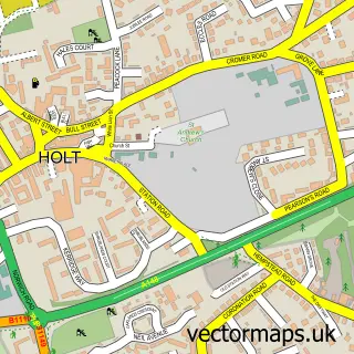
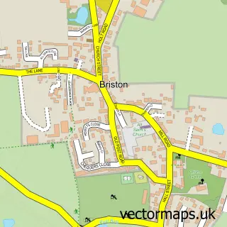
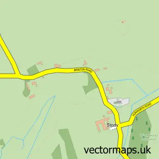
Nearby street map samples around Melton Constable

More street maps in Norfolk
750 metre map area coverage
Boundary, postcode and point of interest information for the 750m x 750m rectangle centred on this sample map.
Boundaries containing map centre
Constituency: North Norfolk Co Const
County: Norfolk County
District: North Norfolk District
Icb: NHS Norfolk and Waveney ICB
Parish: Melton Constable CP
Police Force: norfolk
Postcode District: NR24
Postcode Sector: NR24 2
Ward: Stody Ward
Nearby boundaries intersecting sample
Parish: Briston CP
Ward: Briston Ward
Postcode coverage
POI category counts
Korean Grocery Store: 4
Arts And Crafts: 2
Bar: 2
Butcher Shop: 2
Convenience Store: 2
Electrician: 2
Home Cleaning: 2
Agricultural Service: 1
Automotive Parts And Accessories: 1
Automotive Repair: 1
Sample points of interest
- Van Der L Feeds
- Acacia Works
- The Salted Kiln
- MK2 Spares UK
- MKS Commercial
- Melton Constable Country Club
- The Junction, Melton Constable
- M & M Rutland
- M&m Rutland Butchers
- Coast Cleaning
- Siding
- CO-OP Daily
Create a larger editable map of Melton Constable
This sample shows only a 750 metre area. To create a larger map of Melton Constable, use our map builder to choose your own coverage area, add titles and download editable SVG, PDF and PNG files.
Create a custom map of Melton Constable