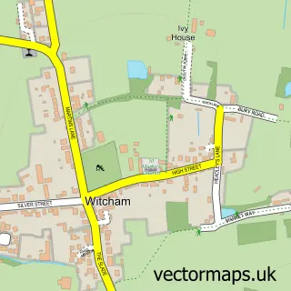
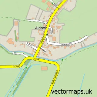
This Mepal street map is a detailed vector street map covering a 750m x 750m area. Select a larger area to create and download your own vector street map of Mepal.
The 750-metre map sample for Mepal covers 355 mapped buildings and approximately 12.7 km of road detail, of which 16 named roads are named. The immediate area includes 1 school, 1 GP surgery within 2 miles and 1 MOT station within 2 miles. To create a larger or custom map of Mepal, the map builder lets you define your own coverage area and download editable SVG, PDF and PNG files.
Create a larger editable map of Mepal
Choose any area you need and generate a high-quality vector map instantly. Perfect for print, planning, design, business and personal use.

This Mepal street map in Cambridgeshire is available as downloadable SVG, PDF and PNG map files, or as a printed map for planning, business, display, education, local information and design work. You can also create a larger custom map area using the map selector.
What this Mepal map sample shows
Mepal lies within Sutton Cp parish, part of Sutton ward in the East Cambridgeshire District local authority area. The postcode geography for this area includes the CB postcode area, the CB6 postcode district and the CB6 2 postcode sector. Residents fall under the Nhs Cambridgeshire And Peterborough Integrated Care Board for NHS services.
Local features near Mepal
Within 2 milesAmenities and services in and around Mepal.
Administrative and postcode information for Mepal
The local authority covering Mepal is East Cambridgeshire District, within the county of Cambridgeshire. The settlement lies within Sutton ward and Sutton Cp civil parish. The CB6 postcode district and CB6 2 postcode sector serve the immediate area. NHS provision in the area is delivered through Cambridge University Hospitals Nhs Foundation Trust.
Nearby street map samples around Mepal

More street maps in Cambridgeshire
750 metre map area coverage
Boundary, postcode and point of interest information for the 750m x 750m rectangle centred on this sample map.
Boundaries containing map centre
Constituency: Ely and East Cambridgeshire Co Const
County: Cambridgeshire County
District: East Cambridgeshire District
Icb: NHS Central East ICB
Parish: Mepal CP
Police Force: cambridgeshire
Postcode District: CB6
Postcode Sector: CB6 2
Ward: Sutton Ward
Nearby boundaries intersecting sample
Parish: Sutton CP
Postcode coverage
POI category counts
Carpenter: 2
Contractor: 2
Anglican Church: 1
Arts And Crafts: 1
Auto Detailing: 1
B2b Sporting And Recreation Goods: 1
Community Services Non Profits: 1
Dog Walkers: 1
Elementary School: 1
Financial Service: 1
Sample points of interest
- St Mary, Mepal
- Duffy's creation's
- Tjs Washes
- Pettitt Sports
- Chris Norman Carpentry and Building
- TLR Carpentry
- The British Adhesives and Sealants Association
- Arthur Peacock & Son
- MB Plastering
- Pitter Patter Paws
- Mepal and Witcham Primary School
- Village Accounting
Create a larger editable map of Mepal
This sample shows only a 750 metre area. To create a larger map of Mepal, use our map builder to choose your own coverage area, add titles and download editable SVG, PDF and PNG files.
Create a custom map of Mepal