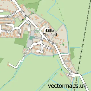
This Witchford street map is a detailed vector street map covering a 750m x 750m area. Select a larger area to create and download your own vector street map of Witchford.
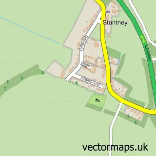
The 750-metre map sample for Witchford covers 344 mapped buildings and approximately 9.2 km of road detail, of which 20 named roads are named. The immediate area includes 1 school, 1 pub and 1 MOT station, with 3 within 2 miles. The wider area around Witchford features 1 food and drink venue. To create a larger or custom map of Witchford, the map builder lets you define your own coverage area and download editable SVG, PDF and PNG files.
Create a larger editable map of Witchford
Choose any area you need and generate a high-quality vector map instantly. Perfect for print, planning, design, business and personal use.

This Witchford street map in Cambridgeshire is available as downloadable SVG, PDF and PNG map files, or as a printed map for planning, business, display, education, local information and design work. You can also create a larger custom map area using the map selector.
What this Witchford map sample shows
Witchford lies within Witchford Cp parish, part of Stretham ward in the East Cambridgeshire District local authority area. The postcode geography for this area includes the CB postcode area, the CB6 postcode district and the CB6 2 postcode sector. Residents fall under the Nhs Cambridgeshire And Peterborough Integrated Care Board for NHS services.
Local features near Witchford
Within 2 milesAmenities and services in and around Witchford.
Administrative and postcode information for Witchford
Witchford lies within Witchford Cp parish, part of Stretham ward in the East Cambridgeshire District local authority area. The postcode geography for this area includes the CB postcode area, the CB6 postcode district and the CB6 2 postcode sector. Residents fall under the Nhs Cambridgeshire And Peterborough Integrated Care Board for NHS services.
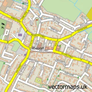
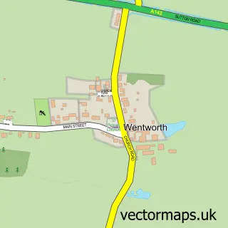
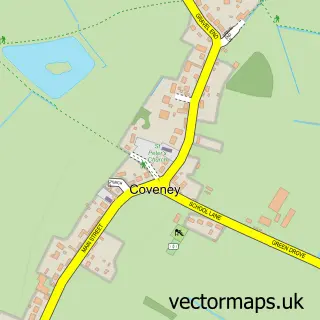
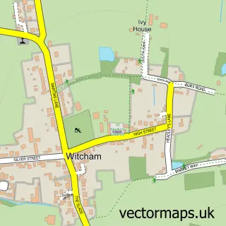
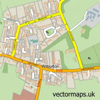
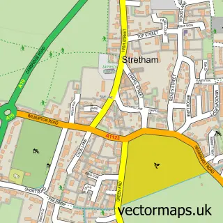
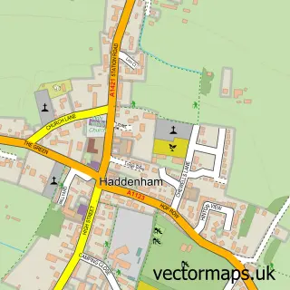
Nearby street map samples around Witchford

More street maps in Cambridgeshire
750 metre map area coverage
Boundary, postcode and point of interest information for the 750m x 750m rectangle centred on this sample map.
Boundaries containing map centre
Constituency: Ely and East Cambridgeshire Co Const
County: Cambridgeshire County
District: East Cambridgeshire District
Icb: NHS Central East ICB
Parish: Witchford CP
Police Force: cambridgeshire
Postcode District: CB6
Postcode Sector: CB6 2
Ward: Stretham Ward
Nearby boundaries intersecting sample
No additional intersecting boundaries found.
Postcode coverage
POI category counts
Automotive Repair: 2
Bakery: 2
Beauty Salon: 2
Convenience Store: 2
Dj Service: 2
Shipping Center: 2
Advertising Agency: 1
Anglican Church: 1
Appliance Manufacturer: 1
Building Supply Store: 1
Sample points of interest
- Virtualdesigncloud
- St Andrew's Church Witchford
- R S Button
- D&B Mobile Auto Repairs
- Midway Garage Ltd
- Barbs Cakes
- Yellow Butterfly Cakes & Sugarcraft
- Blossom Beauty
- Charlotte's Beauty Room
- MS Electrical Services
- Ptfe Parts Ltd.
- Witchford Takeaway
Create a larger editable map of Witchford
This sample shows only a 750 metre area. To create a larger map of Witchford, use our map builder to choose your own coverage area, add titles and download editable SVG, PDF and PNG files.
Create a custom map of Witchford