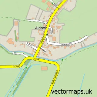
This Stretham street map is a detailed vector street map covering a 750m x 750m area. Select a larger area to create and download your own vector street map of Stretham.
The 750-metre map sample for Stretham covers 393 mapped buildings and approximately 19.5 km of road detail, of which 30 named roads are named. The immediate area includes 1 school, 1 pub and 1 MOT station within 2 miles. The wider area around Stretham features 1 tourism point of interest and 1 food and drink venue. To create a larger or custom map of Stretham, the map builder lets you define your own coverage area and download editable SVG, PDF and PNG files.
Create a larger editable map of Stretham
Choose any area you need and generate a high-quality vector map instantly. Perfect for print, planning, design, business and personal use.

This Stretham street map in Cambridgeshire is available as downloadable SVG, PDF and PNG map files, or as a printed map for planning, business, display, education, local information and design work. You can also create a larger custom map area using the map selector.
What this Stretham map sample shows
Stretham lies within Stretham Cp parish, part of Stretham ward in the East Cambridgeshire District local authority area. The postcode geography for this area includes the CB postcode area, the CB6 postcode district and the CB6 3 postcode sector. Residents fall under the Nhs Cambridgeshire And Peterborough Integrated Care Board for NHS services.
Local features near Stretham
Within 2 milesAmenities and services in and around Stretham.
Administrative and postcode information for Stretham
The local authority covering Stretham is East Cambridgeshire District, within the county of Cambridgeshire. The settlement lies within Stretham ward and Stretham Cp civil parish. The CB6 postcode district and CB6 3 postcode sector serve the immediate area. NHS provision in the area is delivered through Cambridge University Hospitals Nhs Foundation Trust.
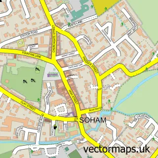
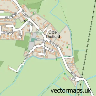
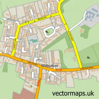
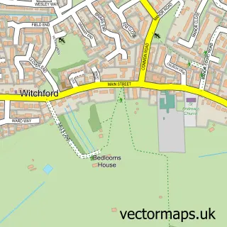
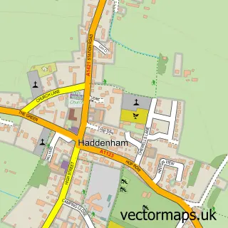
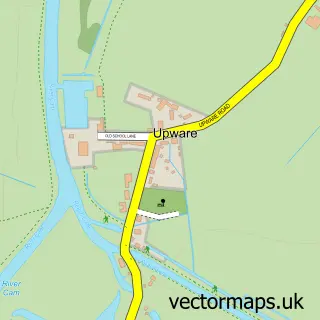
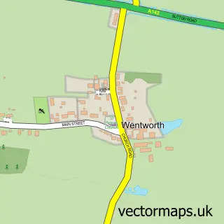
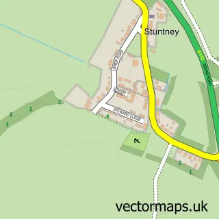
Nearby street map samples around Stretham

More street maps in Cambridgeshire
750 metre map area coverage
Boundary, postcode and point of interest information for the 750m x 750m rectangle centred on this sample map.
Boundaries containing map centre
Constituency: Ely and East Cambridgeshire Co Const
County: Cambridgeshire County
District: East Cambridgeshire District
Icb: NHS Central East ICB
Parish: Stretham CP
Police Force: cambridgeshire
Postcode District: CB6
Postcode Sector: CB6 3
Ward: Stretham Ward
Nearby boundaries intersecting sample
No additional intersecting boundaries found.
Postcode coverage
POI category counts
Beauty Salon: 3
Building Contractor: 2
Post Office: 2
Advertising Agency: 1
Architectural Designer: 1
Bakery: 1
Car Dealer: 1
Church Cathedral: 1
Community Services Non Profits: 1
Contractor: 1
Sample points of interest
- Geoff Shirley Design
- Ely Design Group
- Yellow Butterfly Cakes & Sugarcraft
- Flawless
- Jo’s Hair Studio
- The Village Salon
- B S V Construction Services Ltd.
- B.S.V Construction Services Ltd.
- S&J Cars and commercials
- St James's Church
- Stretham Community Garden
- BSV Construction Services Ltd
Create a larger editable map of Stretham
This sample shows only a 750 metre area. To create a larger map of Stretham, use our map builder to choose your own coverage area, add titles and download editable SVG, PDF and PNG files.
Create a custom map of Stretham